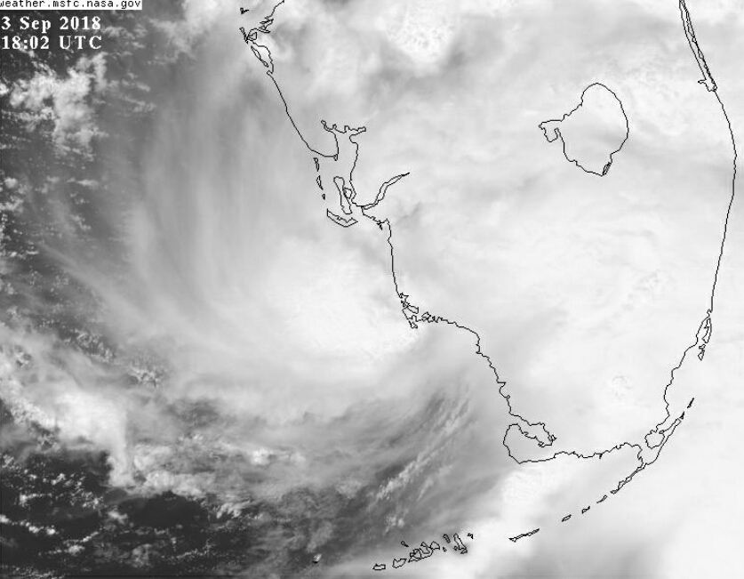
#906 Postby Cypresso » Mon Sep 03, 2018 1:39 pm
chaser1 wrote:5 mile COC?? Such a small core. A small cut-off pinching off to the southwest, really good upper air diffluence and high octane SST's make me think that Gordon may very well come in as a high end Cat. 2 (but a potential for stronger). It seems to be moving rather quick yet in spite of that we're really seeing some pretty impressive vertical alignment beginning to take place. If it significantly slows for a number of hours, we probably will see RI. Honestly, I think we might see some surprising model output at 0Z once initialized with a distinctly deeper storm. Current HWRF showing 993 mb at landfall. I think that's gonna change. With regard to intensity, I'd pay special attention to that model for this event
I just did some runs on this model upon your advice. Impressive.
1 likes
Houston, Texas. Allison '01, Rita '05, Dolly '08, Ike '08, Issac '12, Harvey '17


