

Moderator: S2k Moderators


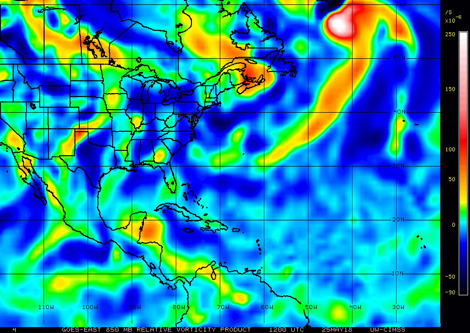
NDG wrote:Like I said earlier this morning, the visible eddy/LLC is rotating around a larger circulation this morning.
https://i.imgur.com/sIZzOTo.gif


SFLcane wrote:Updated WPC 7 day rainfall totals


boca wrote:SFLcane wrote:Updated WPC 7 day rainfall totals
SFLcane what are those totals for our area along the SE coast it was too small to see clearly.


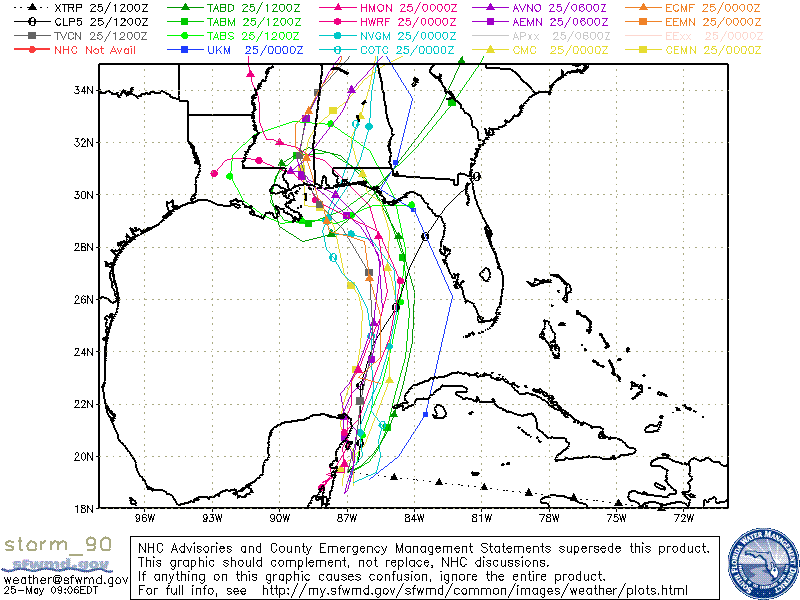
SEASON_CANCELED wrote:987MB is what..a weak Cat 1 Territory??
Its impossible for these storms to get crazy strong cat- 2,3 in may correct?

SEASON_CANCELED wrote:987MB is what..a weak Cat 1 Territory??
Its impossible for these storms to get crazy strong cat- 2,3 in may correct?


Users browsing this forum: No registered users and 56 guests


