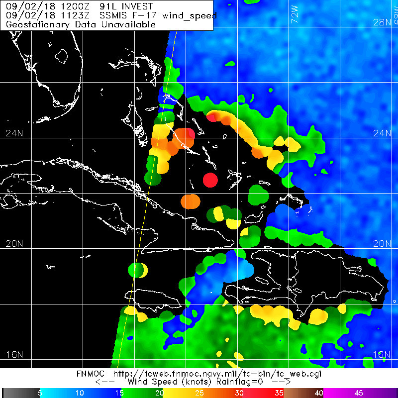
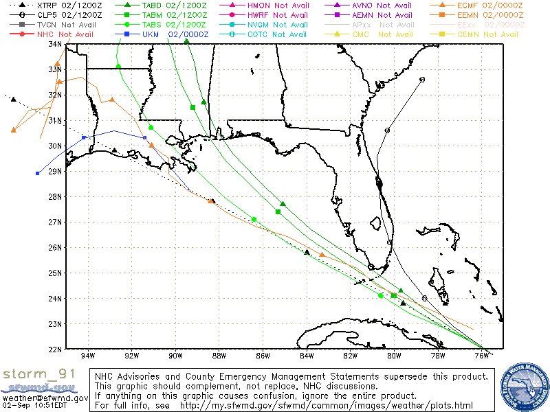
RL3AO wrote:Looks like a developing TC to me. Give it another day or three.
One day vs three has implications for that stick of land in the middle. No one should be surprised by a vigorous tropical wave organizing in the Bahamas in early September, but I do feel like the NHC has been behind the 8-ball with 91L, at least in regards to possible impacts in Florida.