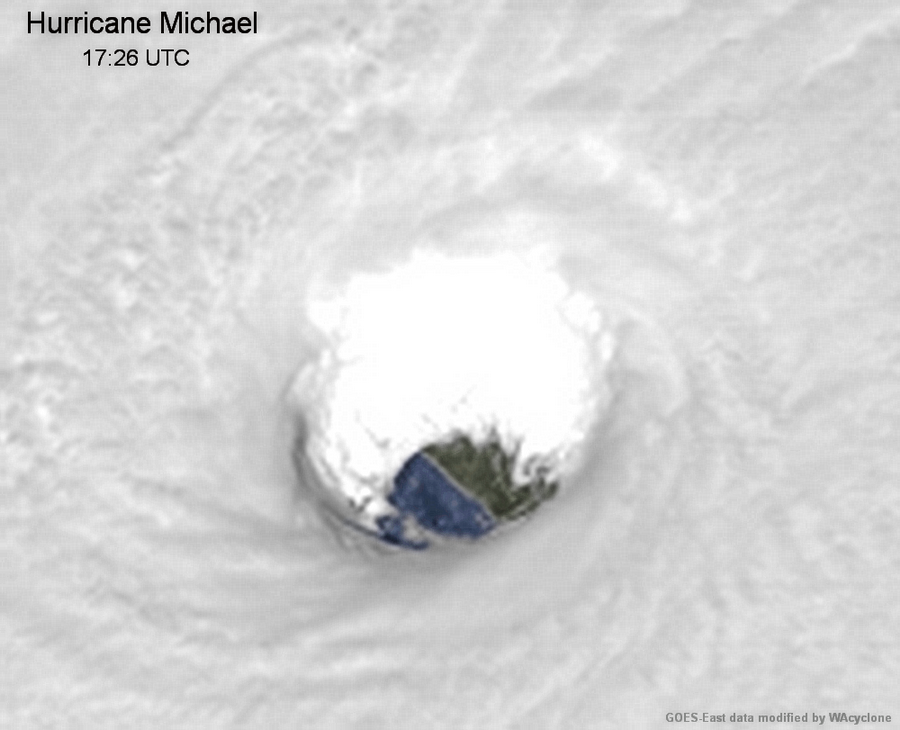
PandaCitrus wrote:The western eyewall that was over Panama City was extremely impressive at landfall on radar, much more so than the eastern eyewall. I hope we have some data in the post analysis to compare what winds Panama City, Tyndall, and Mexico Beach received. I'm also interested in the storm surge. Looking at the elevations and pictures of 7+ feet of water submerged homes which are at 8 feet elevation, I'm thinking higher than 14 feet, perhaps closer to 19 feet in spots. There were areas google earth says are 12 feet elevation that have only foundation slabs in Mexico Beach.
https://twitter.com/iCyclone/status/1050285757636767749
I believe the radar looked lopsided like that because the eastern eyewall was further from the radar site, so the beam had to travel through more and was weaker.