
Dorian looks to be on S side of guidance in line with the Euro... The Euro shows extensive stall and the TVCN shows a slowdown but not a stall and is faster... Time will tell...
Moderator: S2k Moderators


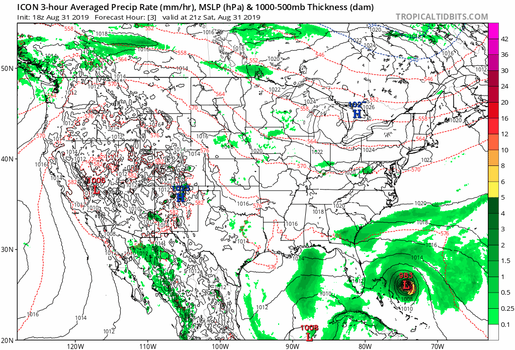
Blown Away wrote:https://i.imgur.com/hrnuneL.jpg
00z Guidance... For the first time today the TVCN is now West of the NHC track... Pretty decent west shift, NHC might go West at 11pm...
jlauderdal wrote:They hug the tvcn, lets see what they do, all signs point to a stronger ridgeNDG wrote:Another look at the early early 0z models, I took out some of the not so reliable ones. The official NHC is a good 40 miles east of the TVCN consensus model.
https://i.imgur.com/x4pdhDI.gif

bqknight wrote:00z Euro ensembles seem a bit more west through 66 hours. Still off the coast of FL though.


chaser1 wrote:Blown Away wrote:https://i.imgur.com/hrnuneL.jpg
00z Guidance... For the first time today the TVCN is now West of the NHC track... Pretty decent west shift, NHC might go West at 11pm...
True enough. This might imply a slight westward shift by NHC but I doubt it would be a shift bringing the storm back to grazing the C. Florida coastline. Might have landfall implications in the Carolina's though. My bigger worry would be seeing the 0Z GFS and EURO runs imply less of a stall/slowdown (more in line with the ICON but not as far south).... suggesting the Uair sampling may be implying a stronger ridge over the S.E. Conus. I'm not suggesting that the eastward moving trough won't weaken the ridge causing it's NNW to North motion, but possibly imply that the timing may still bring Dorian precariously close to some point(s) between N. Palm Beach county and Titusville.
Being that the major model 0Z runs occur after the 11:00 p.m. advisory, a "potential" westward track shift might not be indicated until the 5:00 a.m. advisory. If those of us in Florida are lucky NHC will continue to suggest that they see no significant changes to the overall steering dynamics. Guess we'll wait and see.
Excellent work on the analysis, models are good but the real weather is important toochris_fit wrote:According to NHC 8/30 11pm Advisory...
He's supposed to be 26.3N 74.5W @ 8pm today.... He was at 26.2N 74.7W (More South, and Faster)
According to the 8/31 5am Advisory...
He's supposed to be 26.5N 75.8W at 2am tonight... We'll see about that. Per RECON, he's currently at 26.217N 74.800W
Unless he Turns WNW/He's gonna miss that to the south - Hoping to won't have to much bearing on the final turn away from FL.

sma10 wrote:Any news on the 18z uk ensembles?
BobHarlem wrote:I don't know anything about this particular model... but.
https://twitter.com/MJVentrice/status/1167975009752625152

MacTavish wrote:BobHarlem wrote:I don't know anything about this particular model... but.
https://twitter.com/MJVentrice/status/1167975009752625152
Isnt that IBM's experimental "quantum" computation model?


MacTavish wrote:BobHarlem wrote:I don't know anything about this particular model... but.
https://twitter.com/MJVentrice/status/1167975009752625152
Isnt that IBM's experimental "quantum" computation model?
SFLcane wrote:This would be devastating for FL..
https://twitter.com/mjventrice/status/1167979670702186497
SFLcane wrote:This would be devastating for FL..
https://twitter.com/mjventrice/status/1167979670702186497
BobHarlem wrote:SFLcane wrote:This would be devastating for FL..
https://twitter.com/mjventrice/status/1167979670702186497
I'll pretend I never saw this.
Users browsing this forum: No registered users and 71 guests


