

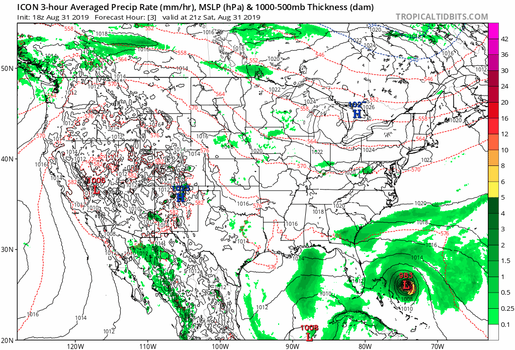
b0tzy29 wrote:ICON 18Z - lets hope this doesn't happen.
https://media.giphy.com/media/UWEHcZBVv109MUWG7c/source.gif
That particular model has been relentless on maintaining course every run over the past few days, with very minimal variations. Never seen that type of consistency before from a model so many days out.


