https://twitter.com/yconsor/status/1176927218330722304
ATL: KAREN - Models
Moderator: S2k Moderators
-
jconsor
- Professional-Met

- Posts: 532
- Joined: Mon Jun 30, 2008 9:31 pm
- Location: Jerusalem, Israel
- Contact:
Re: ATL: KAREN - Models
1 likes
-
bamajammer4eva
- Category 4

- Posts: 907
- Joined: Sun Apr 18, 2010 3:21 am
- Location: Ozark, AL
Re: ATL: KAREN - Models
Looks like euro says goodbye to Karen and hello to Melissa near the Yucatan kinda like GFS. They almost look loosely connected from the same trough.

Last edited by bamajammer4eva on Wed Sep 25, 2019 2:05 pm, edited 1 time in total.
1 likes
Re: ATL: KAREN - Models
On this forecast "loop" would the intensity forecasts be expecting water cooling from upwell and adjust accordingly? Or too weak or insignificant?
0 likes
-
ScottNAtlanta

- Category 5

- Posts: 1998
- Joined: Sat May 25, 2013 3:11 pm
- Location: Atlanta, GA
Re: ATL: KAREN - Models
The 12z GFS looks like long term it drives the remnants of Karen SW into the Caribbean and the reforms something and takes it through the YC and bombs it out...of course the caveat that it really far into the future.
https://www.tropicaltidbits.com/analysi ... 92512&fh=6
https://www.tropicaltidbits.com/analysi ... 92512&fh=6
1 likes
The posts in this forum are NOT official forecast and should not be used as such. They are just the opinion of the poster and may or may not be backed by sound meteorological data. They are NOT endorsed by any professional institution or storm2k.org. For official information, please refer to the NHC and NWS products.

Re: ATL: KAREN - Models
Based on the latest 12z Euro ensembles, there is now less than 8% chance of Karen making it to the US as an organized system. Time to move along, lol.
2 likes
-
CreponChris
- Tropical Low

- Posts: 22
- Age: 35
- Joined: Mon Sep 16, 2019 1:27 am
- Contact:
Re: ATL: KAREN - Models
Here is the guidance other than the European anyway right now for 18 Zulu. Just a funny thing I heard in a YouTube video last night...someone who believes that the government creates hurricanes by cloud-seeding thought that when Jim cantore on the Weather channel said that the weather guidance is doing so and so about the track and intensity for Dorian that that was an indicator of government control. Haha. Not trying to be "political', I take it nobody here believes that.

also, if I'm reading the verification correctly for this particular storm the GFS is doing a better job in terms of track predictions then the EPS. Is that the case? looks like for intensity the hwrf for long-term prediction anyway is one of the best if not the best right now.
also, if I'm reading the verification correctly for this particular storm the GFS is doing a better job in terms of track predictions then the EPS. Is that the case? looks like for intensity the hwrf for long-term prediction anyway is one of the best if not the best right now.
6 likes

Re: ATL: KAREN - Models
12z GFS combines Karen's remnants with a new TC that even reaches sub-950 mbar values around 300 hours. Way too far out to make be of significant value at this point, but it's interesting since the 06z didn't show TC formation in the gulf at all. Guess it shows just how unpredictable long term forecasts are, especially in these conditions.
Last edited by kevin on Wed Sep 25, 2019 4:19 pm, edited 1 time in total.
1 likes
-
SootyTern
- S2K Supporter

- Posts: 310
- Age: 55
- Joined: Sun Sep 05, 2004 5:09 pm
- Location: NYC (formerly Homestead, FL)
Re: ATL: KAREN - Models
5 likes
Disclaimer:
The posts in this forum are NOT official forecasts and should not be used as such. For official information, please refer to the NHC and NWS products.
Gulf Coast: Opal '95 Georges '98 / So Fla: Katrina '05 Wilma '05 Irma '17
The posts in this forum are NOT official forecasts and should not be used as such. For official information, please refer to the NHC and NWS products.
Gulf Coast: Opal '95 Georges '98 / So Fla: Katrina '05 Wilma '05 Irma '17
-
AnnularCane

- S2K Supporter
- Posts: 2635
- Joined: Thu Jun 08, 2006 9:18 am
- Location: Wytheville, VA
Re: ATL: KAREN - Models
SootyTern wrote::uarrow: nice track in the Gulf. Very 2019!
That is an interesting scenario...so it probably won't happen.
0 likes
Re: ATL: KAREN - Models
I know that few are paying this much attention right now, but the 18Z GFS actually had a semi-interesting result fwiw, a legit LF of a very weak barely closed sfc low at Cape Canaveral at 192. It is a potentially dangerous track if it were to be strong.
3 likes
Personal Forecast Disclaimer:
The posts in this forum are NOT official forecasts and should not be used as such. They are just the opinion of the poster and may or may not be backed by sound meteorological data. They are NOT endorsed by any professional institution or storm2k.org. For official information, please refer to the NHC and NWS products.
The posts in this forum are NOT official forecasts and should not be used as such. They are just the opinion of the poster and may or may not be backed by sound meteorological data. They are NOT endorsed by any professional institution or storm2k.org. For official information, please refer to the NHC and NWS products.
Re: ATL: KAREN - Models
LarryWx wrote:I know that few are paying this much attention right now, but the 18Z GFS actually had a semi-interesting result fwiw, a legit LF of a very weak barely closed sfc low at Cape Canaveral at 192. It is a potentially dangerous track if it were to be strong.
Amazing how activity drops when a storm loses model support
8 likes
Re: ATL: KAREN - Models
wx98 wrote:LarryWx wrote:I know that few are paying this much attention right now, but the 18Z GFS actually had a semi-interesting result fwiw, a legit LF of a very weak barely closed sfc low at Cape Canaveral at 192. It is a potentially dangerous track if it were to be strong.
Amazing how activity drops when a storm loses model support
And when you look like Karen currently looks ... not a positive combo
0 likes

Re: ATL: KAREN - Models
LarryWx wrote:I know that few are paying this much attention right now, but the 18Z GFS actually had a semi-interesting result fwiw, a legit LF of a very weak barely closed sfc low at Cape Canaveral at 192. It is a potentially dangerous track if it were to be strong.
I have been looking at where the favorable 'pocket' has been tracking on the global models. Karen is not far off, there is a window it could very unlikely make. It does appear at least for now, a new system will form in Caribbean and it could find favorable conditions.
A lot can change, error 5 days out and predicting a loop is high. I don't think it is dead yet, it has battled unfavorable conditions all of its life.
2 likes
Re: ATL: KAREN - Models
And now for something different: 18Z EPS has virtually every member that has a TC of stronger than 1003 mb pretty much stalled well offshore the US at 144. Had this run gone out 10 days, it is quite possible it wouldn’t have shown even a single hit from a TC stronger than 1003! But we’ll never know.
What an unpredictable storm this has been to follow in model land! Never a dull moment with many different solutions from one run to the next.
So, any predictions on what 0Z models will show?
What an unpredictable storm this has been to follow in model land! Never a dull moment with many different solutions from one run to the next.
So, any predictions on what 0Z models will show?
1 likes
Personal Forecast Disclaimer:
The posts in this forum are NOT official forecasts and should not be used as such. They are just the opinion of the poster and may or may not be backed by sound meteorological data. They are NOT endorsed by any professional institution or storm2k.org. For official information, please refer to the NHC and NWS products.
The posts in this forum are NOT official forecasts and should not be used as such. They are just the opinion of the poster and may or may not be backed by sound meteorological data. They are NOT endorsed by any professional institution or storm2k.org. For official information, please refer to the NHC and NWS products.
-
Blown Away

- S2K Supporter
- Posts: 9863
- Joined: Wed May 26, 2004 6:17 am
Re: ATL: KAREN - Models
LarryWx wrote:And now for something different: 18Z EPS has virtually every member that has a TC of stronger than 1003 mb pretty much stalled well offshore the US at 144. Had this run gone out 10 days, it is quite possible it wouldn’t have shown even a single hit from a TC stronger than 1003! But we’ll never know.
What an unpredictable storm this has been to follow in model land! Never a dull moment with many different solutions from one run to the next.
So, any predictions on what 0Z models will show?
Crazy model land storm for sure... The end is near!!!
0 likes
Hurricane Eye Experience: David 79, Irene 99, Frances 04, Jeanne 04, Wilma 05...
Hurricane Brush Experience: Andrew 92, Erin 95, Floyd 99, Matthew 16, Irma 17, Ian 22, Nicole 22…
Hurricane Brush Experience: Andrew 92, Erin 95, Floyd 99, Matthew 16, Irma 17, Ian 22, Nicole 22…
Re: ATL: KAREN - Models
LarryWx wrote:And now for something different: 18Z EPS has virtually every member that has a TC of stronger than 1003 mb pretty much stalled well offshore the US at 144. Had this run gone out 10 days, it is quite possible it wouldn’t have shown even a single hit from a TC stronger than 1003! But we’ll never know.
What an unpredictable storm this has been to follow in model land! Never a dull moment with many different solutions from one run to the next.
So, any predictions on what 0Z models will show?
This was expected, no? Based on the 12z run I would think it was heading in that direction
0 likes
-
CreponChris
- Tropical Low
- Posts: 22
- Age: 35
- Joined: Mon Sep 16, 2019 1:27 am
- Contact:
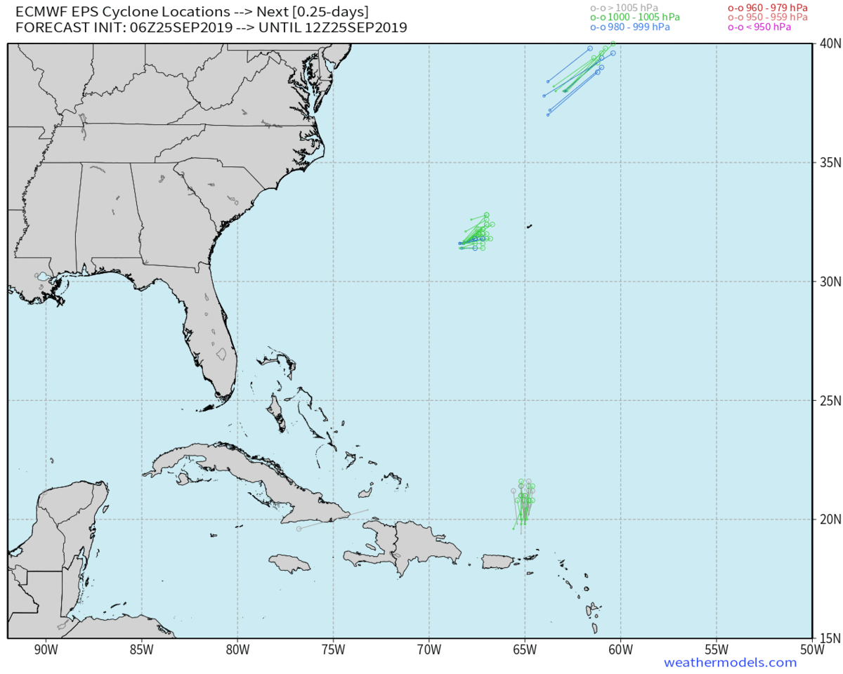
Re: ATL: KAREN - Models
12Z EPS
I don't remember the EPS 00/12Z going out 15 days - this is some kind of false memory hah!
What a track. G'night folks.
I don't remember the EPS 00/12Z going out 15 days - this is some kind of false memory hah!
What a track. G'night folks.
2 likes

-
ErinLee1979
- Tropical Wave

- Posts: 4
- Joined: Mon Sep 16, 2019 12:28 am
- Location: Pompano Beach, Florida
Re: ATL: KAREN - Models
kevin wrote:12z GFS combines Karen's remnants with a new TC that even reaches sub-950 mbar values around 300 hours. Way too far out to make be of significant value at this point, but it's interesting since the 06z didn't show TC formation in the gulf at all. Guess it shows just how unpredictable long term forecasts are, especially in these conditions.
https://imgur.com/q3Vzz9A
wait. is that going west then back east or am i totally watching this wrong?
0 likes
Re: ATL: KAREN - Models
Glad to see the ensembles are finally starting to near the steady state trajectory for Karen as a Strange Attractor.
0 likes
Who is online
Users browsing this forum: No registered users and 83 guests