Pablo is very cute in the European staellite.

Moderator: S2k Moderators


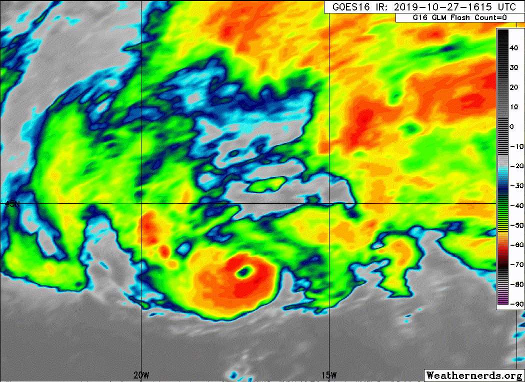
Buck wrote:He did it!
Where does Pablo fall in the most northern and most eastern becoming a hurricane records? I think Vince still has him beat on eastern and I know the last few years seem to have had one or two more northerly hurricane classifications.
Ubuntwo wrote:Buck wrote:He did it!
Where does Pablo fall in the most northern and most eastern becoming a hurricane records? I think Vince still has him beat on eastern and I know the last few years seem to have had one or two more northerly hurricane classifications.
He did beat out Vince as furthest east Atlantic Hurricane.


Users browsing this forum: No registered users and 25 guests