SouthFLTropics wrote:At 72 hours the Euro looks like it dives WSW over western Cuba. Am I seeing things? Nothing should surprise me anymore. It is 2020 after all.
Sent from my iPhone using Tapatalk
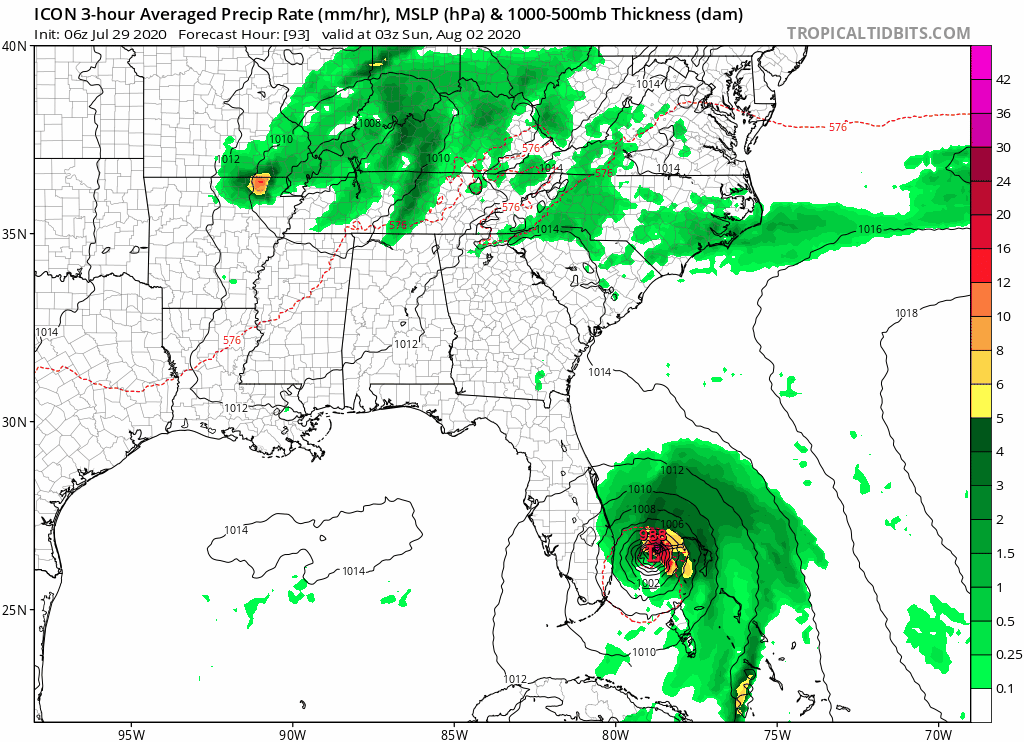
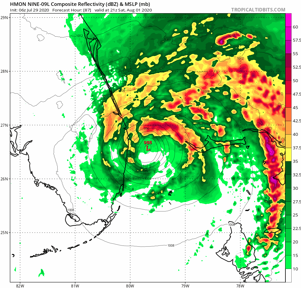
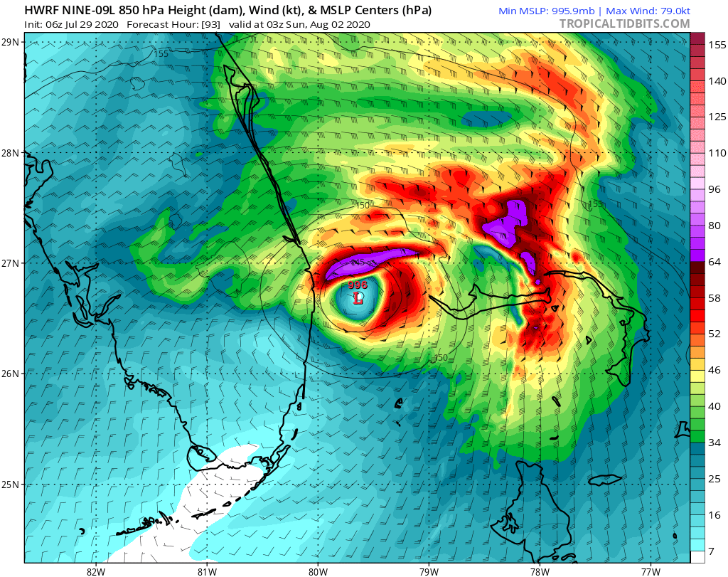
The fact that this system does not have a defined centre is probably the biggest single factor that is hampering the models at this stage.