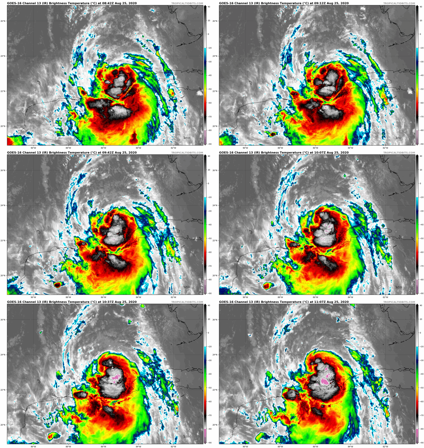
#3973 Postby northjaxpro » Tue Aug 25, 2020 6:42 am
As a poster earlier said on the thread, Laura is like Secretriat, she is well and far off to the races There is nothing to stop her or inpede her trek. It is just a matter of just how strong she gets and just where she goes, It will likely make lahdfall very late tomorrow night into early Thursday morning somewhere from Freeport TX, to Houston/Galveston to the SW Louisiana Gulf region.
All we can now is pray and hope that the many millions of people in the path of this potential deadly cyclone are doing everything TODAY necessary to plan, and take action to evacuate if they are told to do so. Also, for those fleeing inland, please bear in mind that Laura will likely retain hurricane strength as far as 100 -150 miles INLAND after landfall during Thursay morning.. So be prepared for likely power outages in those inland areas.
My prayers to everyone staring down this potential beast in the coming days. Prepare for the very worse! Pray and hope for whatever the best of this dire situation God can bring to this entire region!!!
God Speed######
Last edited by
northjaxpro on Tue Aug 25, 2020 6:50 am, edited 3 times in total.
8 likes
NEVER, EVER SAY NEVER in the tropics and weather in general, and most importantly, with life itself!!
________________________________________________________________________________________
Fay 2008 Beryl 2012 Debby 2012 Colin 2016 Hermine 2016 Julia 2016 Matthew 2016 Irma 2017 Dorian 2019


