cp79 wrote:Steve wrote:Y'all about to get rocked.
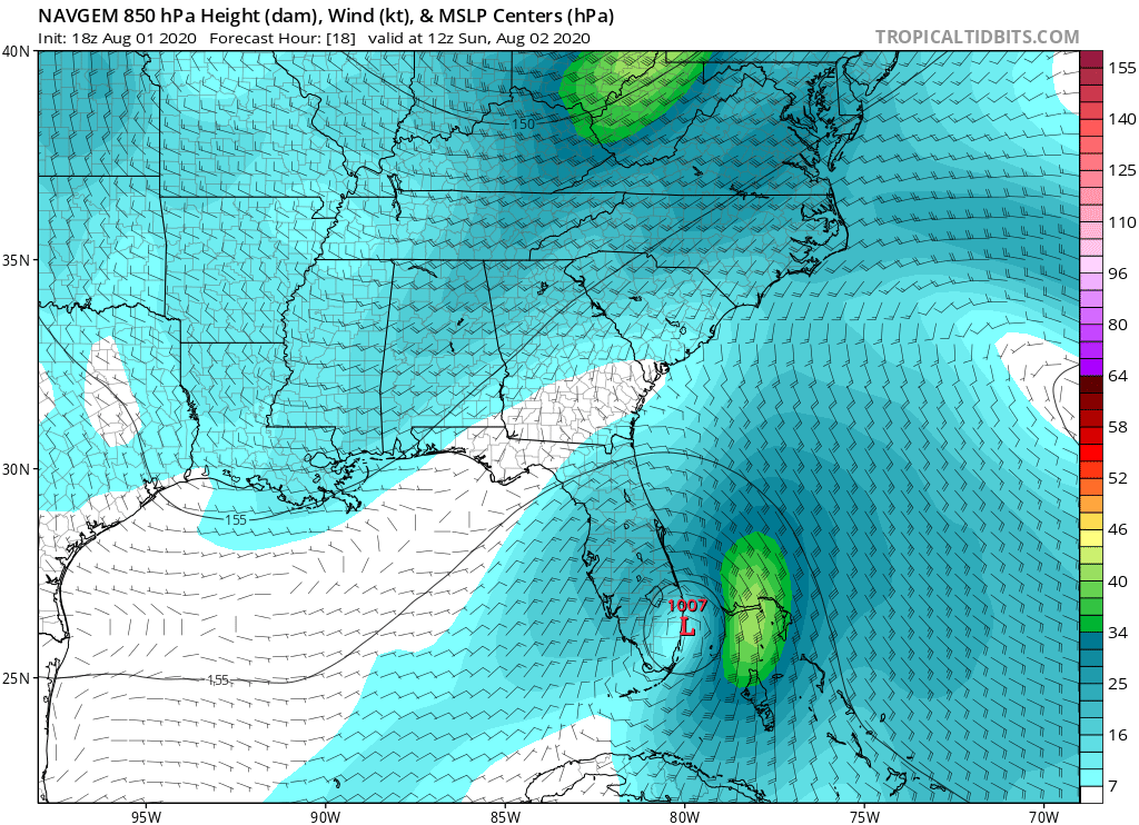
https://www.tropicaltidbits.com/analysi ... 80122&fh=4
It won’t be bad. Just like a typical summer storm. Florida is used to it. They’ve gone through much worse.
Everybody always says this when looking at peak gusts, but typical Florida summer storms don't bring hours of sustained winds.