EPAC: ANDRES - Post-Tropical
Moderator: S2k Moderators
-
Sciencerocks
- Category 5

- Posts: 7286
- Age: 38
- Joined: Thu Jul 06, 2017 1:51 am
-
Sciencerocks
- Category 5
- Posts: 7286
- Age: 38
- Joined: Thu Jul 06, 2017 1:51 am
-
Astromanía
- Category 2

- Posts: 737
- Age: 25
- Joined: Sat Aug 25, 2018 10:34 pm
- Location: Monterrey, N.L, México
Re: EPAC: ANDRES - Tropical Storm
FireRat wrote:ClarCari wrote:On a side note, many people in the meteorlogical world have been butchering pronouncing this name about as bad as Isaias lmao. The NHC pronunciation makes it sound like “On-drase” like Drake. But I heard plenty of people pronounce it like “And-dress” like salad dressing lol, “And-dreeese”, or worse “AndrEAS” like San Andreas.
Of course with my hispanic background, we pronounced it similar to the NHC pronunciation, but with an accented “É” and a trilled R.
It's pretty funny because this name is actually the Spanish version of 'Andrew'. So much easier to pronounce in English lol
I don't have problems to pronounce Andres lol
1 likes
-
cycloneye

- Admin

- Posts: 139081
- Age: 67
- Joined: Thu Oct 10, 2002 10:54 am
- Location: San Juan, Puerto Rico
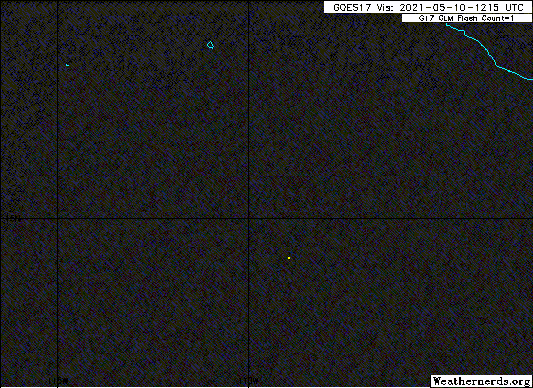
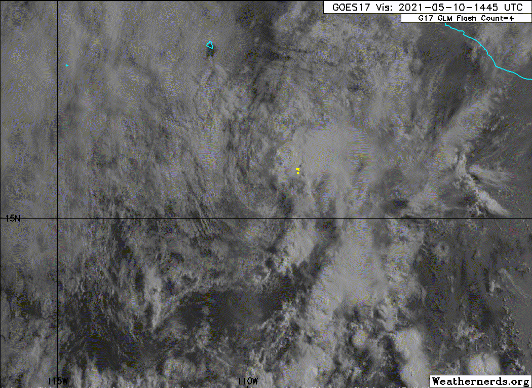
Re: EPAC: ANDRES - Tropical Depression
Tropical Depression Andres Discussion Number 7
NWS National Hurricane Center Miami FL EP012021
300 PM MDT Mon May 10 2021
Hostile environmental conditions are taking a toll on Andres this
afternoon. After a small area of convection persisted downshear of
the cyclone's partially exposed low-level center earlier today,
recent satellite images show rapidly warming cloud tops in the
northeast quadrant with no signs of new convection anywhere near the
center. Additionally, the low-level center now appears to be
completely exposed. Although T2.5 18Z Dvorak classifications were
received from SAB and TAFB, recent satellite trends and UW-CIMSS ADT
estimates indicate the system has weakened since that time.
Therefore, the intensity is lowered to 30 kt with this advisory,
making Andres a tropical depression.
Andres appeared to take a bit of a northward jog earlier today, but
the current estimated motion is 330/06 kt. The weakening, shallow
cyclone is expected to turn more west-northwestward and westward on
Tuesday and Wednesday under the influence of a building low-level
ridge to its north. The latest track forecast is close to the center
of the guidance envelope, with just a slight adjustment to the right
of track from the previous forecast.
An upper-level ridge to the northwest of the cyclone is producing
increasing vertical wind shear over Andres. This, combined with some
drier mid-level air encroaching on the cyclone from the west, will
continue weakening Andres through its dissipation by midweek.
Simulated satellite imagery from the GFS and ECMWF suggest the
system will struggle to generate any new convection overnight, and
this forecast shows Andres becoming a remnant low on Tuesday.
FORECAST POSITIONS AND MAX WINDS
INIT 10/2100Z 16.0N 109.8W 30 KT 35 MPH
12H 11/0600Z 16.5N 110.2W 30 KT 35 MPH
24H 11/1800Z 16.8N 111.1W 25 KT 30 MPH...POST-TROP/REMNT LOW
36H 12/0600Z 17.0N 112.2W 20 KT 25 MPH...POST-TROP/REMNT LOW
48H 12/1800Z 16.9N 113.5W 20 KT 25 MPH...POST-TROP/REMNT LOW
60H 13/0600Z...DISSIPATED
$$
Forecaster Reinhart/Cangialosi
0 likes
Visit the Caribbean-Central America Weather Thread where you can find at first post web cams,radars
and observations from Caribbean basin members Click Here
and observations from Caribbean basin members Click Here
-
Iceresistance

- Category 5
- Posts: 8913
- Age: 20
- Joined: Sat Oct 10, 2020 9:45 am
- Location: Tecumseh, OK/Norman, OK
Re: EPAC: ANDRES - Tropical Depression
Goodbye Andres, it's been nice seeing you this early . . .
0 likes
Bill 2015 & Beta 2020
Winter 2020-2021
All observations are in Tecumseh, OK unless otherwise noted.
Winter posts are focused mainly for Oklahoma & Texas.
Take any of my forecasts with a grain of salt, refer to the NWS, SPC, and NHC for official information
Never say Never with weather! Because ANYTHING is possible!
Winter 2020-2021
All observations are in Tecumseh, OK unless otherwise noted.
Winter posts are focused mainly for Oklahoma & Texas.
Take any of my forecasts with a grain of salt, refer to the NWS, SPC, and NHC for official information
Never say Never with weather! Because ANYTHING is possible!
-
cycloneye
- Admin
- Posts: 139081
- Age: 67
- Joined: Thu Oct 10, 2002 10:54 am
- Location: San Juan, Puerto Rico
Re: EPAC: ANDRES - Tropical Depression
Tropical Depression Andres Discussion Number 8
NWS National Hurricane Center Miami FL EP012021
900 PM MDT Mon May 10 2021
Andres is not expected to be a tropical cyclone much longer. Earlier
today, strong west-southwesterly shear caused the thunderstorm
activity to be stripped away from the center, and now Andres is
nearly devoid of deep convection. The initial intensity is held at
30 kt based on a combination of the latest Dvorak estimates. Andres
is expected to become a remnant low by Tuesday morning due to a
combination of the continued strong shear and cooler SSTs along the
forecast track. These hostile conditions should cause the remnant
low to dissipate in a couple of days, which is shown by the GFS,
ECMWF, and UKMET global models.
After moving northwestward during the past day or two, Andres has
now turned sharply to the west due to the decoupling of the low-
and mid-level centers. A continued westward motion at about 5 kt
is expected until the cyclone dissipates. This forecast is located
to the south of the previous one due to the change in the initial
motion.
FORECAST POSITIONS AND MAX WINDS
INIT 11/0300Z 15.9N 110.3W 30 KT 35 MPH
12H 11/1200Z 16.0N 111.0W 25 KT 30 MPH...POST-TROP/REMNT LOW
24H 12/0000Z 16.1N 112.2W 25 KT 30 MPH...POST-TROP/REMNT LOW
36H 12/1200Z 16.1N 113.4W 20 KT 25 MPH...POST-TROP/REMNT LOW
48H 13/0000Z...DISSIPATED
$$
Forecaster Cangialosi
0 likes
Visit the Caribbean-Central America Weather Thread where you can find at first post web cams,radars
and observations from Caribbean basin members Click Here
and observations from Caribbean basin members Click Here

Re: EPAC: ANDRES - Tropical Depression
Tropical Depression Andres Discussion Number 9
NWS National Hurricane Center Miami FL EP012021
300 AM MDT Tue May 11 2021
The harsh surrounding upper wind environment has taken a toll
on Andres. The last few fragments of the depression's deep
convection dissipated around 1000 PM MDT (0400 UTC) with the
exposed center of Andres now traversing slightly cooler oceanic
temperatures. The initial intensity has been reduced to 25 kt
based on a 0343 UTC METOP-A scatterometer pass. The strong shear
and decreasing SSTs are likely to cause Andres to become a remnant
low later this morning and degenerate into a surface trough late
Wednesday night.
The depression is moving westward, or 270/6 kt while embedded in
the low-level tradewind flow. Vertically shallow Andres and its
remnants are expected to continue moving in this general direction
until dissipation. The NHC track forecast is a little to the left
of the previous one, and is close to the TVCE eastern Pacific
consensus model.
FORECAST POSITIONS AND MAX WINDS
INIT 11/0900Z 15.9N 111.0W 25 KT 30 MPH
12H 11/1800Z 15.9N 111.8W 25 KT 30 MPH...POST-TROP/REMNT LOW
24H 12/0600Z 15.9N 112.9W 20 KT 25 MPH...POST-TROP/REMNT LOW
36H 12/1800Z 15.8N 114.0W 20 KT 25 MPH...POST-TROP/REMNT LOW
48H 13/0600Z...DISSIPATED
$$
Forecaster Roberts
0 likes
-
cycloneye
- Admin
- Posts: 139081
- Age: 67
- Joined: Thu Oct 10, 2002 10:54 am
- Location: San Juan, Puerto Rico
Re: EPAC: ANDRES - Post-Tropical
Bye.
Post-Tropical Cyclone Andres Discussion Number 10
NWS National Hurricane Center Miami FL EP012021
900 AM MDT Tue May 11 2021
Hostile environmental conditions have reduced Andres to an exposed,
low-level cloud swirl. Although a small burst of convection was
noted earlier this morning over 100 n mi northeast of the center,
Andres has been without organized deep convection near its center
for over 12 hours. Therefore, the cyclone has become a remnant low,
and this will be the final NHC advisory on Andres.
The remnant low is moving just south of due west and will continue
moving westward within the low-level trade wind flow until it
dissipates on Wednesday night. Overnight scatterometer data
indicated that 20-25 kt winds were confined to the northwest
quadrant of Andres, between the cyclone and a subtropical ridge to
its northwest. Continued weakening is expected as the remnant low
moves into a drier, more stable environment with increasing wind
shear and decreasing sea-surface temperatures.
This is the last NHC advisory on Andres. For additional information
on the remnant low please see High Seas Forecasts issued by the
National Weather Service, under AWIPS header NFDHSFEPI, WMO header
FZPN02 KWBC, and on the web at ocean.weather.gov/shtml/NFDHSFEPI.php
FORECAST POSITIONS AND MAX WINDS
INIT 11/1500Z 15.8N 111.4W 25 KT 30 MPH...POST-TROPICAL
12H 12/0000Z 15.8N 112.3W 20 KT 25 MPH...POST-TROP/REMNT LOW
24H 12/1200Z 15.7N 113.5W 20 KT 25 MPH...POST-TROP/REMNT LOW
36H 13/0000Z...DISSIPATED
$$
Forecaster Reinhart/Brown
1 likes
Visit the Caribbean-Central America Weather Thread where you can find at first post web cams,radars
and observations from Caribbean basin members Click Here
and observations from Caribbean basin members Click Here
Re: EPAC: ANDRES - Post-Tropical
Was nice to have the earliest EPAC storm form on my birthday  (May 9th) and dethrone Adrian which missed it by a few hours lol.
A neat little innocent pre-season storm.
(May 9th) and dethrone Adrian which missed it by a few hours lol.A neat little innocent pre-season storm.
0 likes
-
AnnularCane

- S2K Supporter

- Posts: 2634
- Joined: Thu Jun 08, 2006 9:18 am
- Location: Wytheville, VA
Re: EPAC: ANDRES - Post-Tropical
ClarCari wrote:Was nice to have the earliest EPAC storm form on my birthday
A neat little innocent pre-season storm.
So you had a little birthday buddy.
1 likes
"But it never rained rain. It never snowed snow. And it never blew just wind. It rained things like soup and juice. It snowed mashed potatoes and green peas. And sometimes the wind blew in storms of hamburgers." -- Judi Barrett, Cloudy with a Chance of Meatballs
Who is online
Users browsing this forum: No registered users and 85 guests