Subtrop wrote:TXPZ29 KNES 011202
TCSENP
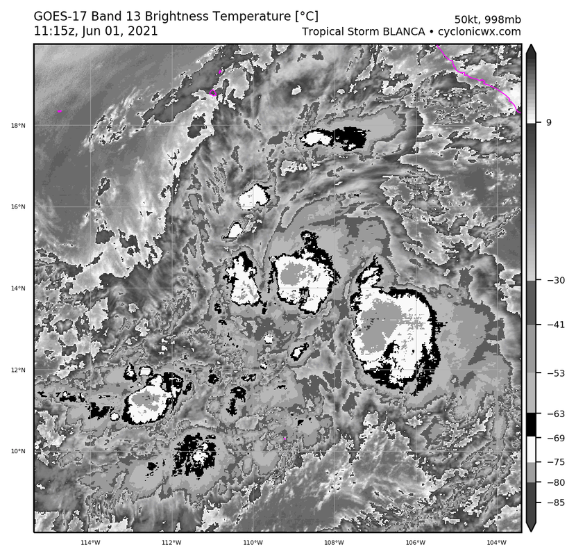
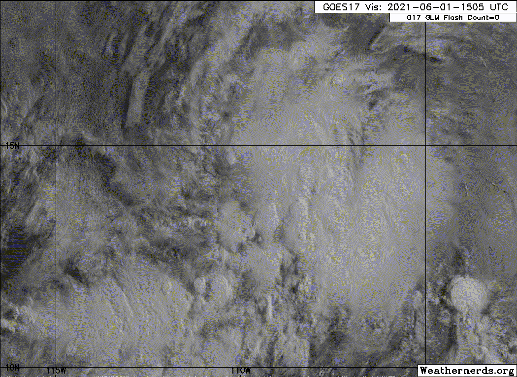
A. 02E (BLANCA)
B. 01/1130Z
C. 13.8N
D. 108.7W
E. ONE/GOES-W
F. T4.5/4.5
G. IR/EIR
H. REMARKS...SYSTEM DISPLAYS AN EYE LIKE FEATURE WITH MG FOR EYE TEMP
AND BLACK AS THE SURROUNDING RING TEMP EMBEDDED IN LG RESULTING IN A DT
OF 5.0 FOR EYE PATTERN. MET AND PT ARE 4.0. FT IS BASED ON CONSTRAINTS
OF FT CANNOT BE GREATER THAN 1 OVER 6 HOURS FROM PREVIOUS FT.
I. ADDL POSITIONS
NIL
...PATEL
Well. This was IR at the time of the fix: