EPAC: GUILLERMO - Post-Tropical
Moderator: S2k Moderators
-
Yellow Evan

- Professional-Met

- Posts: 15952
- Age: 25
- Joined: Fri Jul 15, 2011 12:48 pm
- Location: Henderson, Nevada/Honolulu, HI
- Contact:
Re: EPAC: GUILLERMO - Tropical Depression
Perhaps because this went more north than forecast shear was a much bigger problem than expected.
0 likes
-
Astromanía
- Category 2

- Posts: 737
- Age: 25
- Joined: Sat Aug 25, 2018 10:34 pm
- Location: Monterrey, N.L, México
Re: EPAC: GUILLERMO - Tropical Depression
since this was just a wave it didn't have the factors to be something big due to it's size, speed and track. To think models went strong whit this at first, I guess they can't forecast the size nor speed of a wave until it reaches the basin
0 likes
-
cycloneye

- Admin

- Posts: 139094
- Age: 67
- Joined: Thu Oct 10, 2002 10:54 am
- Location: San Juan, Puerto Rico
Re: EPAC: GUILLERMO - Tropical Depression
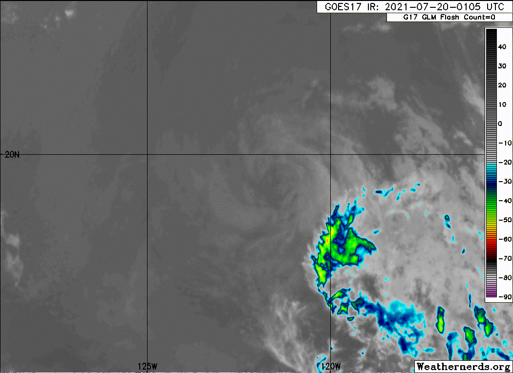
Tropical Depression Guillermo Discussion Number 11
NWS National Hurricane Center Miami FL EP072021
800 PM PDT Mon Jul 19 2021
Sub-25C waters, dry and stable air, and moderate west-southwesterly
shear have taken their toll on Guillermo. The depression has now
been devoid of organized deep convection for several hours and
mainly consists of a swirl of low- to mid-level clouds. A blend of
the latest Dvorak intensity estimates from TAFB, SAB, and the
UW-CIMSS ADT indicate that the initial intensity remains 30 kt. The
path of the depression should keep it over waters of around 23-24C
over the next few days. This combined with the other negative
environmental factors should continue to prevent any long-lived deep
convection from redeveloping. Therefore, Guillermo is now forecast
to become a remnant low on Tuesday. Thereafter, the weakening vortex
should open up into a trough within a few days.
Guillermo is now moving a little faster, with a 12-h motion of
270/16 kt as it has become embedded within the easterly flow on the
south side of a low- to mid-level subtropical ridge. This ridge is
forecast to remain in place for several days, which should keep the
depression on a west, or just south-of-west trajectory for the
remainder of its existence. The official track forecast is near the
previous one through 24 h, and then was nudged slightly to the south
beyond 24 h due to a southward shift in the overall track guidance.
FORECAST POSITIONS AND MAX WINDS
INIT 20/0300Z 19.3N 122.0W 30 KT 35 MPH
12H 20/1200Z 19.0N 124.5W 30 KT 35 MPH
24H 21/0000Z 18.5N 127.4W 25 KT 30 MPH
36H 21/1200Z 18.0N 130.4W 25 KT 30 MPH...POST-TROP/REMNT LOW
48H 22/0000Z 17.6N 132.9W 25 KT 30 MPH...POST-TROP/REMNT LOW
60H 22/1200Z 17.3N 135.5W 20 KT 25 MPH...POST-TROP/REMNT LOW
72H 23/0000Z 17.0N 138.0W 20 KT 25 MPH...POST-TROP/REMNT LOW
96H 24/0000Z...DISSIPATED
$$
Forecaster Latto
0 likes
Visit the Caribbean-Central America Weather Thread where you can find at first post web cams,radars
and observations from Caribbean basin members Click Here
and observations from Caribbean basin members Click Here
-
Sciencerocks
- Category 5

- Posts: 7286
- Age: 38
- Joined: Thu Jul 06, 2017 1:51 am
-
cycloneye
- Admin
- Posts: 139094
- Age: 67
- Joined: Thu Oct 10, 2002 10:54 am
- Location: San Juan, Puerto Rico
Re: EPAC: GUILLERMO - Tropical Depression
Tropical Depression Guillermo Discussion Number 12
NWS National Hurricane Center Miami FL EP072021
200 AM PDT Tue Jul 20 2021
Aside from an isolated shower or two, the cyclone has been
essentially devoid of deep convection for the past 12-15 hours. A
recent scatterometer overpass measured winds of 27 kt over the
northern portion of the circulation, and assuming some undersampling
by that instrument the advisory intensity remains 30 kt.
Guillermo has been moving just slightly south of due west or around
260/15 kt. A mid-level ridge to the north and northwest of the
system should result in a westward to west-southwestward track
during the next couple of days. The official forecast is just a bit
south of the previous track and follows the latest multi-model
consensus, TVCE, solution.
The cyclone is expected to traverse SSTs of 24-25 deg C during the
next couple of days, and continue to ingest relatively dry and
stable air as evidenced by the dense stratocumulus field ahead of
the system. These conditions should make it unlikely for Guillermo
to regenerate. Unless there is a significant redevelopment of deep
convection near the center soon, Guillermo will be declared a
remnant low pressure system later today.
FORECAST POSITIONS AND MAX WINDS
INIT 20/0900Z 19.0N 123.4W 30 KT 35 MPH
12H 20/1800Z 18.6N 125.7W 25 KT 30 MPH...POST-TROP/REMNT LOW
24H 21/0600Z 18.1N 128.6W 25 KT 30 MPH...POST-TROP/REMNT LOW
36H 21/1800Z 17.5N 131.3W 25 KT 30 MPH...POST-TROP/REMNT LOW
48H 22/0600Z 16.9N 133.9W 20 KT 25 MPH...POST-TROP/REMNT LOW
60H 22/1800Z 16.3N 136.6W 20 KT 25 MPH...POST-TROP/REMNT LOW
72H 23/0600Z...DISSIPATED
$$
Forecaster Pasch
0 likes
Visit the Caribbean-Central America Weather Thread where you can find at first post web cams,radars
and observations from Caribbean basin members Click Here
and observations from Caribbean basin members Click Here
-
Sciencerocks
- Category 5
- Posts: 7286
- Age: 38
- Joined: Thu Jul 06, 2017 1:51 am
-
cycloneye
- Admin
- Posts: 139094
- Age: 67
- Joined: Thu Oct 10, 2002 10:54 am
- Location: San Juan, Puerto Rico
Re: EPAC: GUILLERMO - Tropical Depression
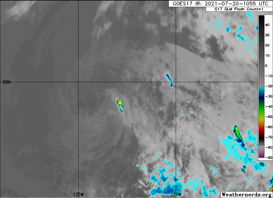
Tropical Depression Guillermo Discussion Number 13
NWS National Hurricane Center Miami FL EP072021
800 AM PDT Tue Jul 20 2021
A small burst of convection formed around 12Z, and it's just large
enough to hold on to Guillermo as a 30-kt tropical depression. This
small area of convection is located in the northeastern quadrant,
and it likely won't last long as the cyclone remains embedded in a
very dry and stable air mass and over cool 24 C waters. Guillermo
should degenerate into a remnant low later today, assuming the deep
convection dissipates. The continued influences of dry air and cool
waters should cause the weak system to spin down, and it should
ultimately dissipate in a few days prior to reaching the Central
Pacific basin.
The tropical depression is moving westward at 15 kt. A general
west-southwestward motion is expected during the next few days as
Guillermo, or its remnants, remains embedded in the flow on the
south side of a low- to mid-level ridge. The NHC track forecast is
just a tad to the north of the previous one and lies near the middle
of the guidance envelope.
FORECAST POSITIONS AND MAX WINDS
INIT 20/1500Z 19.2N 125.0W 30 KT 35 MPH
12H 21/0000Z 18.8N 127.2W 25 KT 30 MPH...POST-TROP/REMNT LOW
24H 21/1200Z 18.2N 130.2W 25 KT 30 MPH...POST-TROP/REMNT LOW
36H 22/0000Z 17.5N 132.9W 25 KT 30 MPH...POST-TROP/REMNT LOW
48H 22/1200Z 16.9N 135.6W 20 KT 25 MPH...POST-TROP/REMNT LOW
60H 23/0000Z 16.4N 138.1W 20 KT 25 MPH...POST-TROP/REMNT LOW
72H 23/1200Z...DISSIPATED
$$
Forecaster Cangialosi
0 likes
Visit the Caribbean-Central America Weather Thread where you can find at first post web cams,radars
and observations from Caribbean basin members Click Here
and observations from Caribbean basin members Click Here
-
cycloneye
- Admin
- Posts: 139094
- Age: 67
- Joined: Thu Oct 10, 2002 10:54 am
- Location: San Juan, Puerto Rico
Re: EPAC: GUILLERMO - Post-Tropical
That was a very fast demise.
Post-Tropical Cyclone Guillermo Discussion Number 14
NWS National Hurricane Center Miami FL EP072021
200 PM PDT Tue Jul 20 2021
Guillermo's circulation consists of a tight swirl of low-level
clouds, and the earlier brief convective flare up dissipated
shortly after the release of the previous advisory. Given that
the system has been devoid of organized deep convection for most of
the last 18 hours, the system is now considered a remnant low and
this will be the last NHC advisory. The initial intensity remains
30 kt based on a recent ASCAT pass that showed an area of 25-30 kt
winds north of the center.
The post-tropical cyclone will remain in an dry, stable airmass
while moving over SSTs of 24-25C, which should result in a gradual
spin down of the circulation. Global model fields indicate that the
low will open up into a trough within 48-60 hours, and that is
indicated in the official forecast.
The remnant low is now moving a little south of due west, with an
initial motion estimate of 265/15. The system is expected to move
west-southwestward until dissipation under the influence of the
expansive low-level ridge centered over the north-central Pacific.
The new NHC track forecast is a little south of and faster than the
previous one, trending toward the latest consensus aids.
FORECAST POSITIONS AND MAX WINDS
INIT 20/2100Z 18.7N 126.5W 30 KT 35 MPH...POST-TROP/REMNT LOW
12H 21/0600Z 18.2N 128.9W 25 KT 30 MPH...POST-TROP/REMNT LOW
24H 21/1800Z 17.5N 131.8W 25 KT 30 MPH...POST-TROP/REMNT LOW
36H 22/0600Z 16.8N 134.5W 25 KT 30 MPH...POST-TROP/REMNT LOW
48H 22/1800Z 16.1N 137.0W 20 KT 25 MPH...POST-TROP/REMNT LOW
60H 23/0600Z...DISSIPATED
$$
Forecaster Brennan/Cangialosi
0 likes
Visit the Caribbean-Central America Weather Thread where you can find at first post web cams,radars
and observations from Caribbean basin members Click Here
and observations from Caribbean basin members Click Here
-
Yellow Evan
- Professional-Met
- Posts: 15952
- Age: 25
- Joined: Fri Jul 15, 2011 12:48 pm
- Location: Henderson, Nevada/Honolulu, HI
- Contact:
Re: EPAC: GUILLERMO - Post-Tropical
Shouldn't the system be maintained as a TC given it recently re-developed convection this morning?
0 likes
Who is online
Users browsing this forum: No registered users and 25 guests