ATL: INVEST 91L - Discussion

Moderator: S2k Moderators

Message
Author
Craters
Category 1
Category 1
Posts: 349
Joined: Sat Aug 24, 2013 2:34 pm
Location: Alvin, TX (south of Houston)

Re: ATL: INVEST 91L - Discussion

#21 Postby Craters » Tue Aug 03, 2021 3:07 pm

kevin wrote:
NotSparta wrote:
gatorcane wrote:If this somehow gets to a depression or name storm status, which it shouldn’t, it would just inflate the numbers considering something this minor was not tracked or counted decades ago.


What's the point of having new and better technology if we don't use it?


Exactly. It's not the fault of current technology that not all storms could be tracked in the past. While I can understand the annoyance of some people that compared to older seasons the more recent ones seem 'inflated' due to better technology, I don't think we should just ignore these small storms because of that. Just because our technology was insufficient in the past to track some of the storms doesn't mean we should just keep ignoring them now that we can actually detect them. That would mean artificially skewing data to 'what feels right', which is definitely not something I would ever advocate for in any field of science. If it's a TS then it's a TS and the fact that storm tracking and detecting technology was worse in the past shouldn't have anything to do with that. Of course we should keep these things in mind when analyzing and comparing data from seasons in different time periods. Just a general comment btw, not specifically about 91L and its chances of becoming a TD/TS.


Well, said, Kevin -- well said.

I think that most of the problem here comes with unrestrained or unqualified (to be polite about it) comparisons with the historical tropical-storm record. OF COURSE there are more storms identified now than in the past, because we can monitor the whole bloody planet on a virtually continuous basis. That doesn't necessarily mean that something major has changed in the dynamics of Earth's meteorology, although that coincidentally could be possible. As with just about anything else, we should use the new capability to its current limits and then try to extend those limits through research, work, and ingenuity. But higher numbers of storms (or whatever) shouldn't be hyped without acknowledging what allowed us to get those higher numbers in the first place -- a caveat that just doesn't seem to register with a lot of people, I'm afraid.

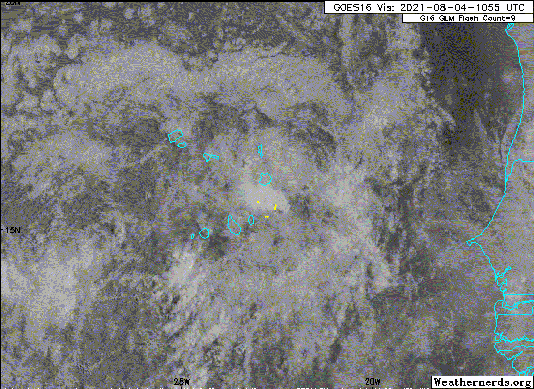
Getting back to 91L -- I'm wondering if it's the first subtle indication that the VP200 effects of the MJO are arriving in that neck of the woods...
4 likes   
Nothing that I post here should ever be treated as a forecast or anything resembling one. Please check with your local NWS office or the NHC for forecasts, watches, and warnings.

User avatar
ElectricStorm
Category 5
Category 5
Posts: 4561
Age: 23
Joined: Tue Aug 13, 2019 11:23 pm
Location: Skiatook, OK / Norman, OK

Re: ATL: INVEST 91L - Discussion

#22 Postby ElectricStorm » Tue Aug 03, 2021 4:12 pm

Yeah I guess there's a small chance it could try to pull a TD10 but I don't really see that happening with this one.
0 likes   
I am in no way a professional. Take what I say with a grain of salt as I could be totally wrong. Please refer to the NHC, NWS, or SPC for official information.

Boomer Sooner!

User avatar
AtlanticWind
S2K Supporter
S2K Supporter
Posts: 1805
Age: 65
Joined: Sun Aug 08, 2004 9:57 pm
Location: Plantation,Fla

Re: ATL: INVEST 91L - Discussion

#23 Postby AtlanticWind » Tue Aug 03, 2021 5:05 pm

AutoPenalti wrote:
wxman57 wrote:
abajan wrote:So, the 5-day formation chance decreased from 20% to 10%, but it's now an invest. Interesting.
I guess we can reasonably expect that percentage to go back up shortly.


The NHC declaring any area an "invest" has nothing to do with development potential (or proximity to land). They just want to run models on it to see what they say. You should not infer that the NHC thinks something is a development threat just because an invest is initiated. I expect development chances to drop to zero after Stewart gets off shift at the NHC.

Couldn't they just run models without an Invest designation?

Seems to me they designate the invests on systems with lower odds when they have
a more definate center to run models off of
With systems that are forecast to devolep but dont have clear C.O.C. they wait longer.

I could be mistaken.
0 likes   

USTropics
Category 5
Category 5
Posts: 2414
Joined: Sun Aug 12, 2007 3:45 am
Location: Florida State University

Re: ATL: INVEST 91L - Discussion

#24 Postby USTropics » Tue Aug 03, 2021 5:44 pm

There are a few protocols that are initiated when an invest is declared: (1) data collection and processing begins for specific agencies (NHC, NRL, UW-CIMSS, to name a few), (2) spaghetti and model plots can be run with a trackable center, (3) GFDL and HWRF mesoscale models are initiated, (4) interagency communication can be more fluid (NHC handles tropical systems, but NWS issues High Sea Forecasts and marine hazards, NRL has obvious interests, etc.). It doesn't definitively state the system will develop, but there are specific interests in tracking such systems beyond development/CONUS impacts.

This is a breakdown of invests and TCs:

0-49 are TCs, STCs, or potential TCs. Basically these are the numbers we use starting with TDs in the Atlantic (TD01, TD02, TD03, etc.). In fact, the ATCF is hard coded to only go up to 49. If we were to ever get up to 49 systems in one year, we would actually start over at TD01 for number 50.

50-79 are for internal use only. NOAA will often use these before operational invests are designated to communicate among internal departments and NRL.

80-89 are for system tests. Rare, but if the NHC wants to test some new model updates/internal system changes they will use these.

90-99 are operational invests. These are further broken down by basin:

L is for Atlantic.
E is for East Pacific.
C is for Central Pacific.
W is for West Pacific.
B is for Indian Ocean (Bay of Bengal).
A is for Indian Ocean (Arabian Sea).
S is for Southwest Indian Ocean/Australia (west of 135E)
P is for Australia/South Pacific (east of 135E)
Q is for South Atlantic (generally only used by NRL).
10 likes   

User avatar
cycloneye
Admin
Admin
Posts: 139087
Age: 67
Joined: Thu Oct 10, 2002 10:54 am
Location: San Juan, Puerto Rico

Re: ATL: INVEST 91L - Discussion

#25 Postby cycloneye » Tue Aug 03, 2021 6:51 pm

A small area of low pressure, with some associated showers and
thunderstorms, is passing just to the east of Praia in the Cabo
Verde Islands. Significant development of this system is not
expected during the next day or two due to unfavorable upper-level
winds and marginally warm waters. The low is forecast to move
northward or north-northwestward through Thursday before the system
moves over cool waters, ending development chances. Locally heavy
rainfall and gusty winds are possible over portions of the Cabo
Verde Islands through Wednesday.
* Formation chance through 48 hours...low...10 percent.
* Formation chance through 5 days...low...10 percent.
0 likes   
Visit the Caribbean-Central America Weather Thread where you can find at first post web cams,radars
and observations from Caribbean basin members Click Here

AlphaToOmega
Category 5
Category 5
Posts: 1448
Joined: Sat Jun 26, 2021 10:51 am
Location: Somewhere in Massachusetts

Re: ATL: INVEST 91L - Discussion

#26 Postby AlphaToOmega » Wed Aug 04, 2021 7:18 am

Requiescat in pace
1. A small and weak area of low pressure, with limited shower and
thunderstorm activity, is passing near the Cabo Verde Islands.
Significant development of this system is not expected during the
next day or so due to unfavorable environmental conditions.
Thereafter, this system is forecast to move northward or
north-northwestward over cooler waters, ending its development
chances. Locally heavy rainfall and gusty winds are possible over
portions of the Cabo Verde Islands through today.
* Formation chance through 48 hours...low...near 0 percent.
* Formation chance through 5 days...low...near 0 percent.
1 likes   

Sciencerocks
Category 5
Category 5
Posts: 7286
Age: 38
Joined: Thu Jul 06, 2017 1:51 am

Re: ATL: INVEST 91L - Discussion

#27 Postby Sciencerocks » Wed Aug 04, 2021 9:20 am

Image
3 likes   

User avatar
BensonTCwatcher
Category 5
Category 5
Posts: 1046
Joined: Sat Aug 28, 2004 10:11 pm
Location: Southport NC

Re: ATL: INVEST 91L - Discussion

#28 Postby BensonTCwatcher » Wed Aug 04, 2021 2:08 pm

Is looking to me like the vort center is really located 14.04° N, 27.07° W and the convection and vort over the Cabo Verde Islands 16.25° N, 22.25° W is weakening. If this are develops some convection it could go. Looks like a an eddy so far, but the vort seems to be stronger.
1 likes   


Return to “2021”

Who is online

Users browsing this forum: No registered users and 79 guests