

Doesn’t inspire confidence.
Moderator: S2k Moderators


galaxy401 wrote:I have always been skeptical and unconvinced that Pamela will reach the heights of Kenna, Rick, Patricia, and Willa. The problem with these comparisons is that those hurricanes formed in El Nino years so they had a very favorable environment. Pamela is in a more borderline La Nina environment. So I have my doubts Pamela will even reach Category 4 in my opinion. I'm thinking Cat 3 at most.
Pamela could still prove me wrong though so I guess we'll see.
Yellow Evan wrote:Convective burst getting stuck again after rotating upshear. This has the look of something that reaches around 90 knots at this point.
aspen wrote:Yellow Evan wrote:Convective burst getting stuck again after rotating upshear. This has the look of something that reaches around 90 knots at this point.
90 kt is generous at this point. This looks like Guillermo, another failed major. I will be extremely surprised if Pamela has any decent convection over the LLC tomorrow morning, or if it is still 60 kt.
Yellow Evan wrote:aspen wrote:Yellow Evan wrote:Convective burst getting stuck again after rotating upshear. This has the look of something that reaches around 90 knots at this point.
90 kt is generous at this point. This looks like Guillermo, another failed major. I will be extremely surprised if Pamela has any decent convection over the LLC tomorrow morning, or if it is still 60 kt.
Calm down lol.
aspen wrote:Yellow Evan wrote:aspen wrote:90 kt is generous at this point. This looks like Guillermo, another failed major. I will be extremely surprised if Pamela has any decent convection over the LLC tomorrow morning, or if it is still 60 kt.
Calm down lol.
I wouldn’t be downcasting this much if the current mid level shear was forecast to lower. It doesn’t seem like it will. But I have searched for the perfect “eating crow” meme to post if Pamela makes a comeback lol.
AlphaToOmega wrote:aspen wrote:Yellow Evan wrote:
Calm down lol.
I wouldn’t be downcasting this much if the current mid level shear was forecast to lower. It doesn’t seem like it will. But I have searched for the perfect “eating crow” meme to post if Pamela makes a comeback lol.
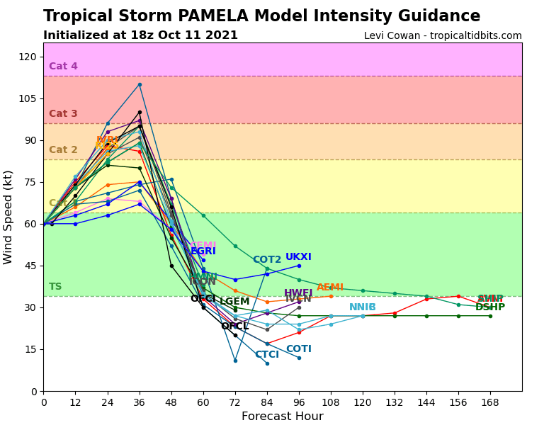
Every model intensifies Pamela into a hurricane.
https://i.postimg.cc/PJ9VMXJq/16-E-intensity-latest.png
aspen wrote:Yellow Evan wrote:aspen wrote:90 kt is generous at this point. This looks like Guillermo, another failed major. I will be extremely surprised if Pamela has any decent convection over the LLC tomorrow morning, or if it is still 60 kt.
Calm down lol.
I wouldn’t be downcasting this much if the current mid level shear was forecast to lower. It doesn’t seem like it will. But I have searched for the perfect “eating crow” meme to post if Pamela makes a comeback lol.
Yellow Evan wrote:aspen wrote:Yellow Evan wrote:
Calm down lol.
I wouldn’t be downcasting this much if the current mid level shear was forecast to lower. It doesn’t seem like it will. But I have searched for the perfect “eating crow” meme to post if Pamela makes a comeback lol.
With all due respect, why are you getting so worked up over this? This isn’t the first tropical cyclone where the GFS and models that whose data were fed into it were too aggressive, and I’m sure it won’t be the last either.
aspen wrote:I apologize if I’ve come off that way. There’s just nothing else to talk about lol. Also, I have been quite surprised by this bust due to it being very different in track, setup, etc from the other busts of 2020 and 2021 despite some factors being more favorable. In other words, the same factors that led to Cristina, Guillermo, and Kevin busting don’t exactly apply to Pamela.
aspen wrote:Yellow Evan wrote:aspen wrote: I wouldn’t be downcasting this much if the current mid level shear was forecast to lower. It doesn’t seem like it will. But I have searched for the perfect “eating crow” meme to post if Pamela makes a comeback lol.
With all due respect, why are you getting so worked up over this? This isn’t the first tropical cyclone where the GFS and models that whose data were fed into it were too aggressive, and I’m sure it won’t be the last either.
I apologize if I’ve come off that way. There’s just nothing else to talk about lol. Also, I have been quite surprised by this bust due to it being very different in track, setup, etc from the other busts of 2020 and 2021 despite some factors being more favorable. In other words, the same factors that led to Cristina, Guillermo, and Kevin busting don’t exactly apply to Pamela.
Yellow Evan wrote:aspen wrote:Yellow Evan wrote:
With all due respect, why are you getting so worked up over this? This isn’t the first tropical cyclone where the GFS and models that whose data were fed into it were too aggressive, and I’m sure it won’t be the last either.
I apologize if I’ve come off that way. There’s just nothing else to talk about lol. Also, I have been quite surprised by this bust due to it being very different in track, setup, etc from the other busts of 2020 and 2021 despite some factors being more favorable. In other words, the same factors that led to Cristina, Guillermo, and Kevin busting don’t exactly apply to Pamela.
Go back and look at your posts (I realize you probably don’t realize this lol because it’s hard to sometimes). You had noted the potential for this busting several times prior to today so at least judging by your posts on here, you shouldn’t be that surprised.


Users browsing this forum: No registered users and 60 guests


