wxman57 wrote:Excellent agreement between GFS & EC as far as track through day 6. However, GFS is 40mb lower than EC for central pressure. GFS just can't help itself.
I'd argue it's the other way around
Moderator: S2k Moderators


wxman57 wrote:Excellent agreement between GFS & EC as far as track through day 6. However, GFS is 40mb lower than EC for central pressure. GFS just can't help itself.

Kingarabian wrote:wxman57 wrote:Excellent agreement between GFS & EC as far as track through day 6. However, GFS is 40mb lower than EC for central pressure. GFS just can't help itself.
The Euro has been much more bullish on this than the GFS.
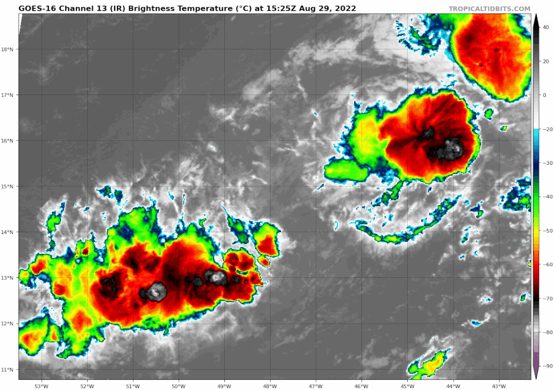


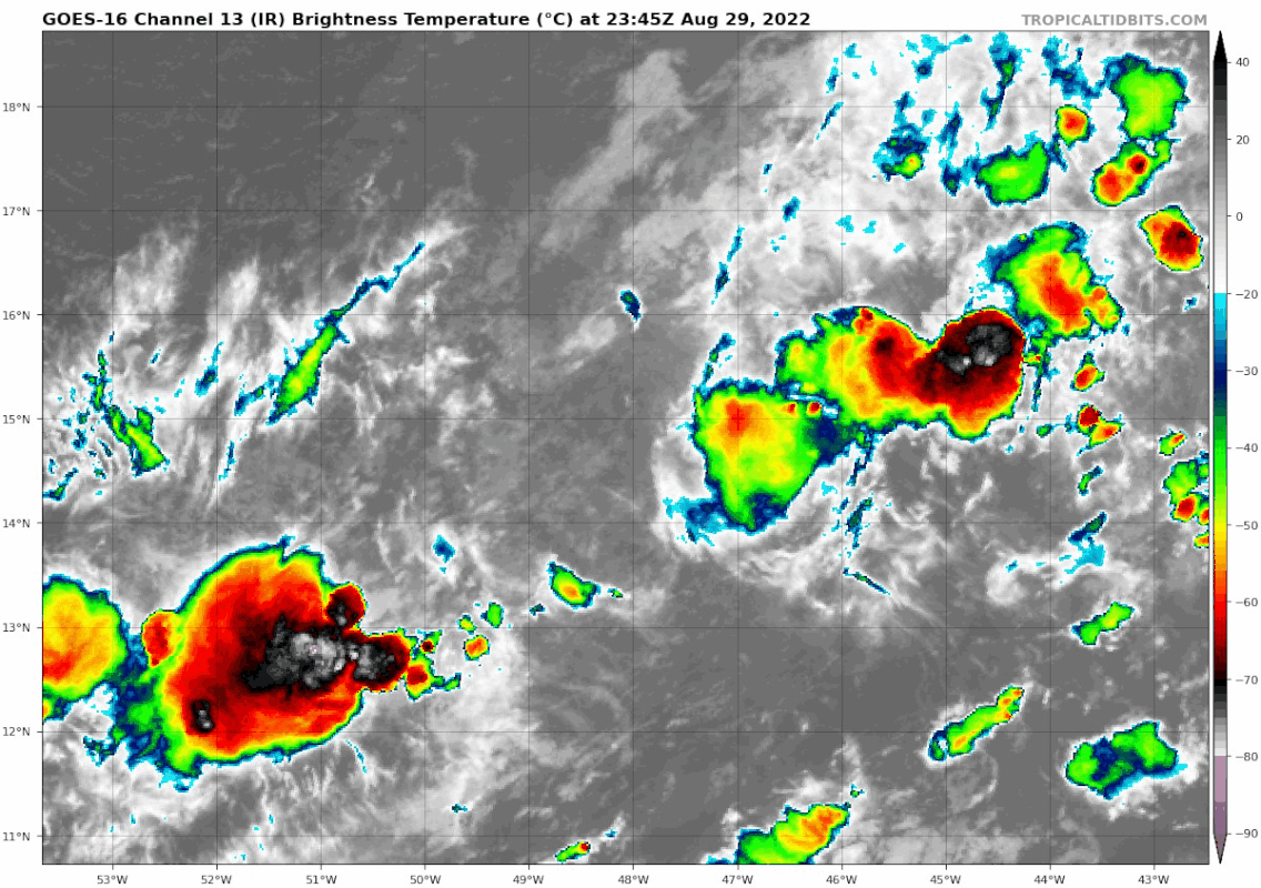

Blown Away wrote:[url]https://i.postimg.cc/gkJdTytY/goes16-ir-91-L-202208292305.gif [/url]
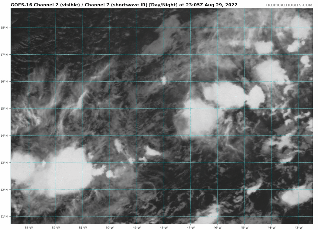
[url]https://i.postimg.cc/25jP1CpC/goes16-vis-swir-91-L-202208292305.gif [/url]
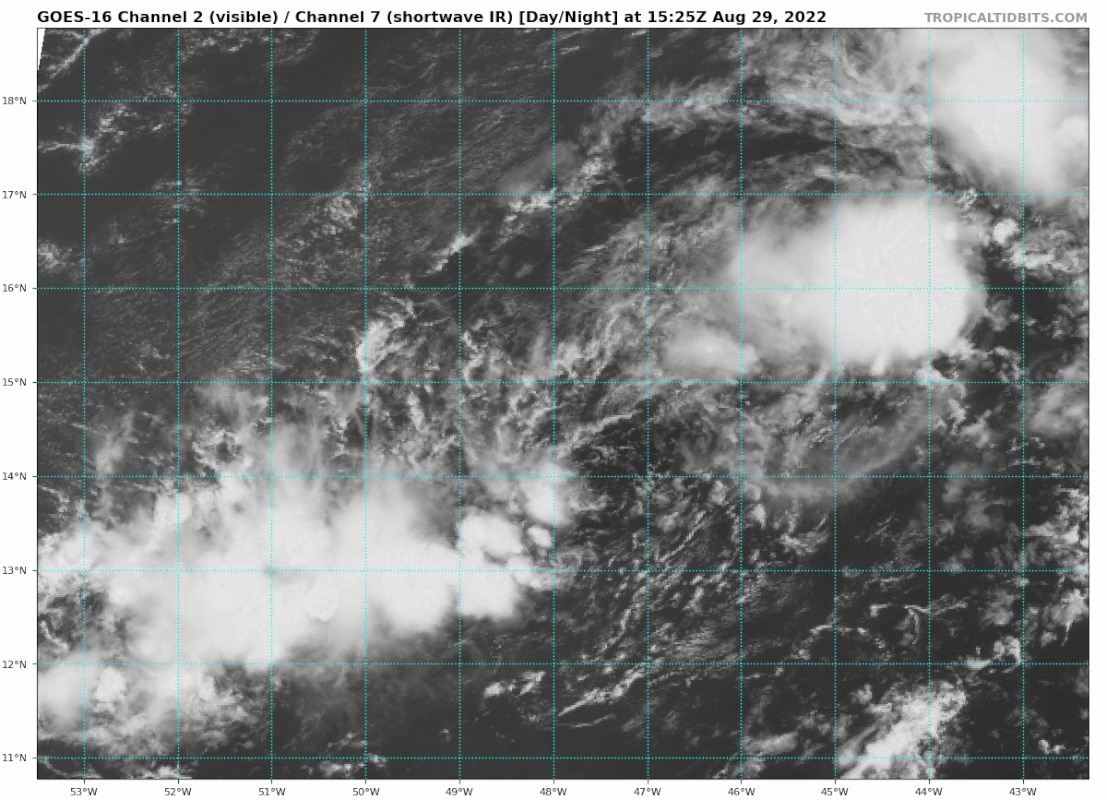
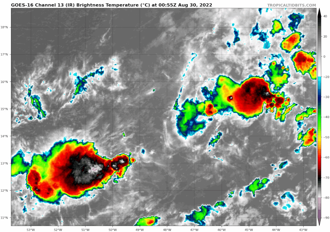
Latest. NHC says 14.7N/47.8W, not seeing much there anymore. Earlier there was an elongated COC from NE to SW. Low level clouds moving towards the SE blob and convection building.


DestinHurricane wrote:So are we team SW blob or team NE blob? I think the SW is taking over.
Go South Blob!

Hammy wrote:Show the satellite of this to someone without lat/lon or land for context and most would think it's somewhere in the Pacific


Users browsing this forum: No registered users and 14 guests


