eastcoastFL wrote:They’ll probably put warnings up for the center of the state in the morning if things don’t change
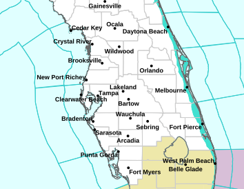
The NHC graphic just show the warnings for the coastal zones, it is up to the individual NWS offices to issue the products (obviously consulting with each other and the NHC) for the inland zones (which typically correspond to counties or portions of counties)... currently quite a bit of inland Florida is in some type of tropical storm/hurricane watch/warning