Iceresistance wrote:93L had a chance, but it's now a goner.
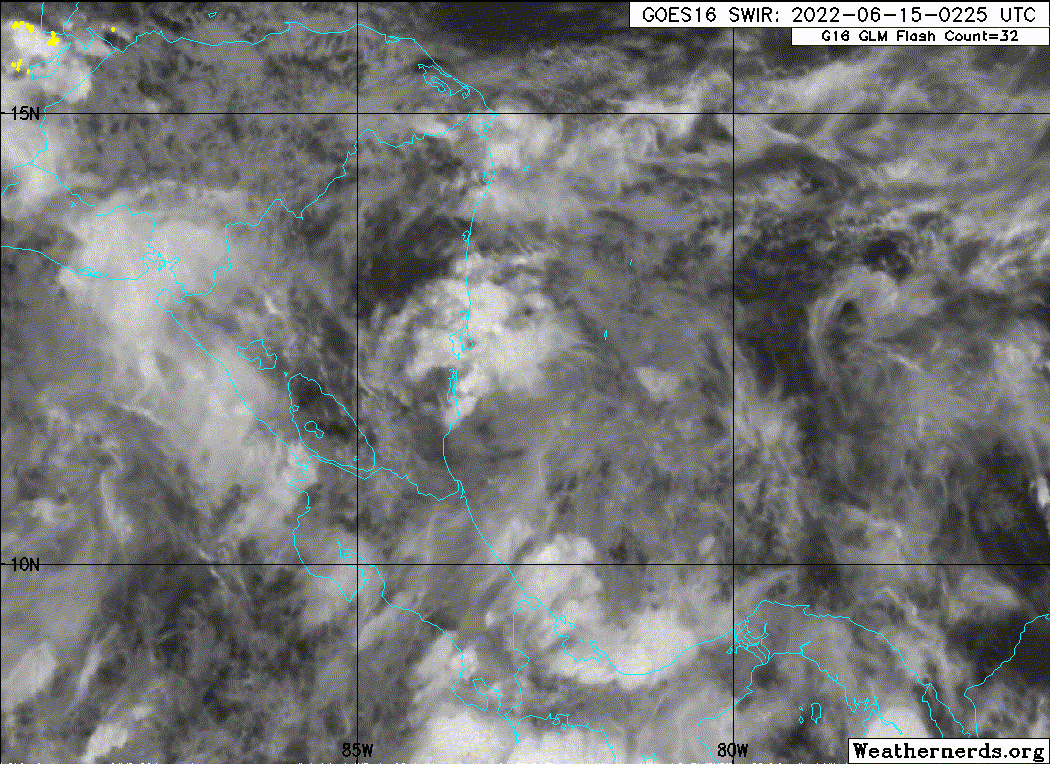
I wouldn't say it's a goner just yet. While the potential for a more intense system is almost certainly gone given that the previous center of the system entrenched itself inland before gradually spinning down, the surface trough/tropical wave-esque area of disturbed weather is still quite convectively active and currently positioned over some of the highest OHC waters in the entire basin. Given its slow forward speed and the overall favorable environment, there still exists a small opportunity for a quick spin-up before it begins interacting with the Yucatan Peninsula, and models are still indicating that the northern edge of the surface trough could find a way back over water briefly in the Bay of Campeche before moving back inland over Mexico. Development is by no means expected, but that doesn't mean it's impossible.
However, it cannot be overstated that TCG is a low probability development on either side of said peninsula, and so the diminishing of odds given and the reduction of area covered by the NHC in the most recent TWO is not a surprise. It is quite clear that 93L has a long road towards any sort of development beyond being a unnamed rainmaker for the region.
Still, I find it hard to look away from an area of disturbed weather over warm water in a relatively low-shear environment, all underneath a dominant high pressure area centered over the southern half of the CONUS. After all, a "ridge over troubled waters" is a oft-touted saying for a reason.


