EP, 93, 2022090200, , BEST, 0, 129N, 946W, 20, 1008, DB, 34, NEQ, 0, 0, 0, 0, 1009, 180, 60, 0, 0, E, 0, , 0, 0, INVEST, S, 0, , 0, 0, 0, 0, genesis-num, 020, SPAWNINVEST, ep722022 to ep932022,
https://ftp.nhc.noaa.gov/atcf/btk/bep932022.dat
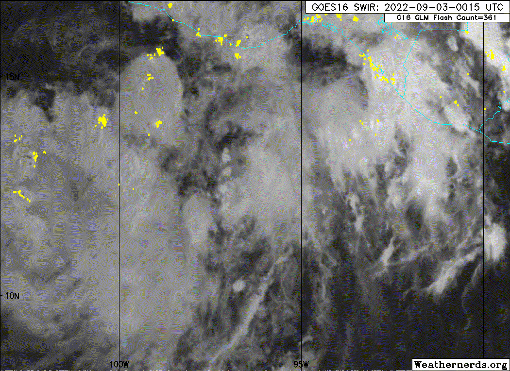
1. South of Southern Mexico:
Disorganized showers and thunderstorms extending several hundred
miles south of the coast of southern Mexico are associated with a
tropical wave and broad area of low pressure. Gradual development
of this system is expected, and a tropical depression is likely to
form this weekend or early next week while it moves westward and
then west-northwestward near the coast of southern and southwestern
Mexico. Interests in southern and southwestern Mexico should
monitor the progress of this system.
* Formation chance through 48 hours...medium...40 percent.
* Formation chance through 5 days...high...80 percent.
This should be a formidable hurricane that will threat Mexico. Let's see how it all pan out down the road.