#425 Postby aspen » Thu Sep 22, 2022 8:35 pm
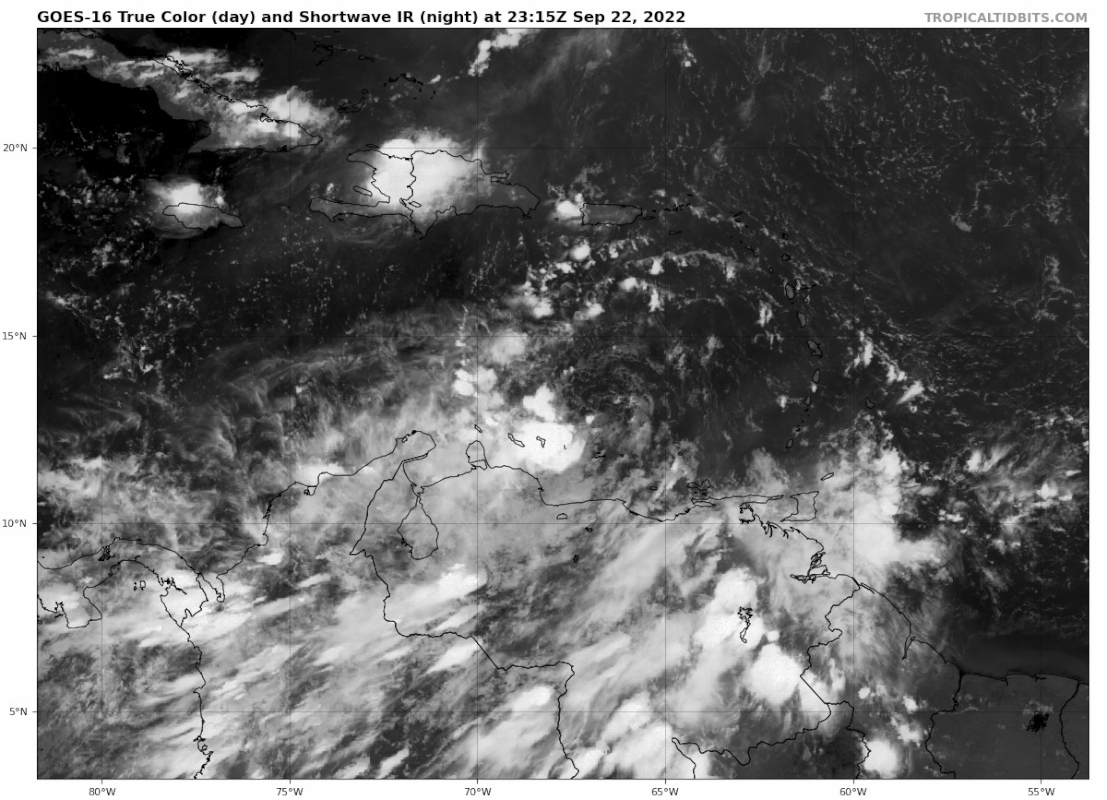
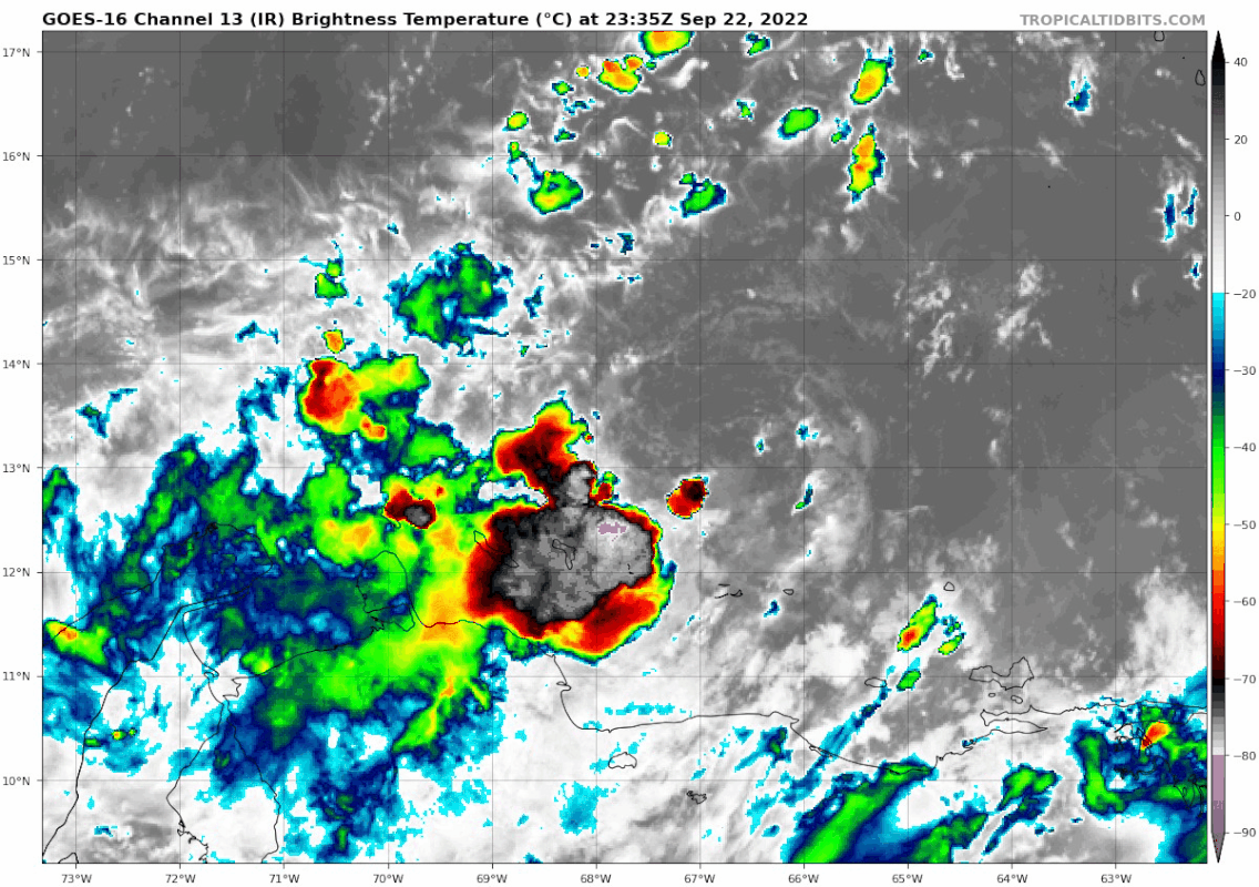
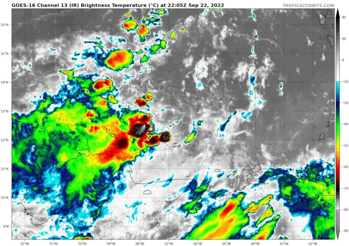
I think one of the less impactful tracks this could take is actually passing through the Yucatan Channel. While this would raise the intensity ceiling by a fair margin, going through the Channel means no MH landfall in Mexico or Cuba, and it gives 98L plenty of time to be worn down by shear in the Gulf and weaken before a Florida landfall. The alternative lower-impact scenario is if it gains latitude very quickly once passing Jamaica’s longitude, giving it a much smaller window to intensify before running over Cuba’s high mountains.
The worst possible track is somewhere in between those two extremes — enough time to become a major before reaching Cuba, less chances of the core being disrupted, and therefore a higher possible SFL landfall intensity. To prevent a possible MH into Florida, 98L will either have to turn north sooner or spend more time weakening in the Gulf.
2 likes
Irene '11 Sandy '12 Hermine '16 5/15/2018 Derecho Fay '20 Isaias '20 Elsa '21 Henri '21 Ida '21
I am only a meteorology enthusiast who knows a decent amount about tropical cyclones. Look to the professional mets, the NHC, or your local weather office for the best information.


