TXPZ22 KNES 211807
TCSENP
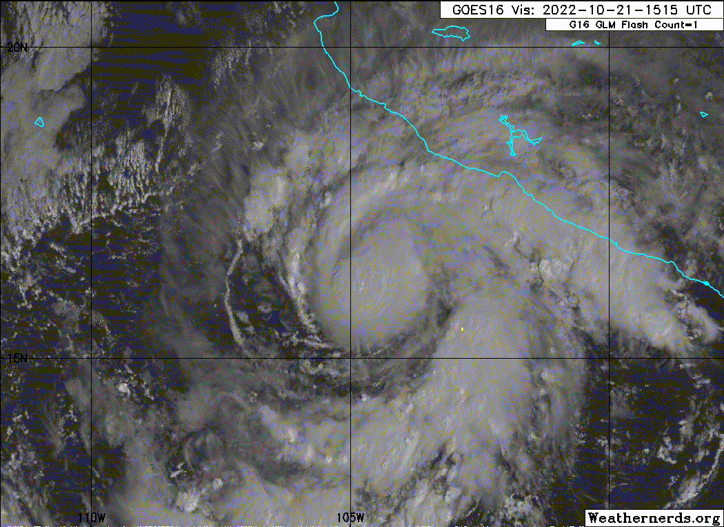
A. 19E (ROSLYN)
B. 21/1730Z
C. 16.2N
D. 104.8W
E. THREE/GOES-E
F. T3.5/3.5
G. IR/EIR/VIS
H. REMARKS...AN LLCC LOCATED UNDER A WELL DEFINED CDO WITH A >1.25 DEG
DIAMETER RESULTS IN A DT OF 3.5 AFTER ADDING 0.5 FOR BANDING. THE MET
AND PT AGREE. THE FT IS BASED ON THE DT.
I. ADDL POSITIONS
NIL
...BROWN
TCSENP
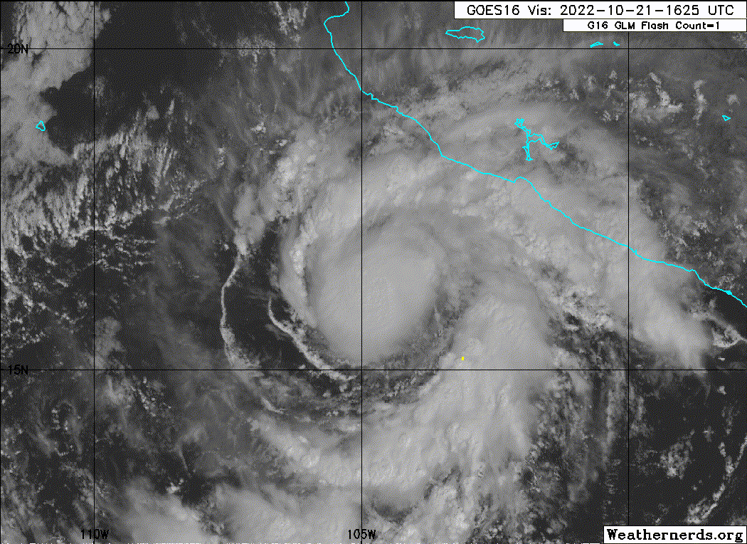
A. 19E (ROSLYN)
B. 21/1730Z
C. 16.2N
D. 104.8W
E. THREE/GOES-E
F. T3.5/3.5
G. IR/EIR/VIS
H. REMARKS...AN LLCC LOCATED UNDER A WELL DEFINED CDO WITH A >1.25 DEG
DIAMETER RESULTS IN A DT OF 3.5 AFTER ADDING 0.5 FOR BANDING. THE MET
AND PT AGREE. THE FT IS BASED ON THE DT.
I. ADDL POSITIONS
NIL
...BROWN