#326 Postby SouthFLTropics » Tue Sep 05, 2023 12:08 pm
LarryWx wrote:Even with the 12Z UKMET being 150 miles ENE of its 0Z run at the end, it is still a whopping 350 miles WSW of the 12Z GFS at 168.
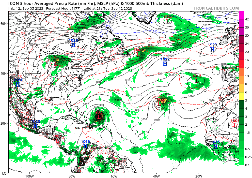
That's a significant difference at that time range. ICON is slowly coming in on Tropical Tidbits but at hour 153 it is crawling WNW north of the big islands. I'll be very interested in seeing what the Euro does this afternoon. It is hard to put much confidence in the GFS after its recent whiff with Idalia.
1 likes
Fourth Generation Florida Native
Personal Storm History: David 79, Andrew 92, Erin 95, Floyd 99, Irene 99, Frances 04, Jeanne 04, Wilma 05, Matthew 16, Irma 17, Ian 22, Nicole 22, Milton 24