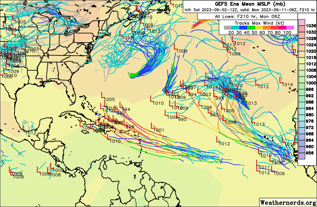
ATL: LEE - Models

Moderator: S2k Moderators

Message
Author
User avatar
NotSparta
Professional-Met
Professional-Met
Posts: 1652
Age: 22
Joined: Fri Aug 18, 2017 8:24 am
Location: Naples, FL
Contact:

Re: ATL: INVEST 95L - Models

#21 Postby NotSparta » Sat Sep 02, 2023 12:25 pm

SFLcane wrote:
LarryWx wrote:
IcyTundra wrote:12Z GFS slower to develop so far.


Not only does the GFS have very little with this so far, the CMC is similar. Plus the last few ICONs have been weaker than recent days. Also, the 0Z UK had no TC. Trend?


Delayed development… we know what follows


Yes... a bust :lol:
1 likes   
This post was probably an opinion of mine, and in no way is official. Please refer to http://www.hurricanes.gov for official tropical analysis and advisories.

My website, with lots of tropical wx graphics, including satellite and recon: http://cyclonicwx.com

User avatar
aspen
Category 5
Category 5
Posts: 8057
Joined: Sat Oct 12, 2019 7:10 pm
Location: Connecticut, USA

Re: ATL: INVEST 95L - Models

#22 Postby aspen » Sat Sep 02, 2023 1:02 pm

HAFS-A and B runs are up, both with delayed development (likely due to all the factors USTropics detailed above). HAFS-A develops between 45-50W, while HAFS-B is faster and gets a TC between 40-45W.
0 likes   
Irene '11 Sandy '12 Hermine '16 5/15/2018 Derecho Fay '20 Isaias '20 Elsa '21 Henri '21 Ida '21

I am only a meteorology enthusiast who knows a decent amount about tropical cyclones. Look to the professional mets, the NHC, or your local weather office for the best information.

User avatar
cycloneye
Admin
Admin
Posts: 139241
Age: 67
Joined: Thu Oct 10, 2002 10:54 am
Location: San Juan, Puerto Rico

Re: ATL: INVEST 95L - Models

#23 Postby cycloneye » Sat Sep 02, 2023 1:08 pm

HAFS-A

Image


HAFS-B

Image
0 likes   
Visit the Caribbean-Central America Weather Thread where you can find at first post web cams,radars
and observations from Caribbean basin members Click Here

User avatar
SFLcane
S2K Supporter
S2K Supporter
Posts: 9617
Age: 46
Joined: Sat Jun 05, 2010 1:44 pm
Location: Lake Worth Florida

Re: ATL: INVEST 95L - Models

#24 Postby SFLcane » Sat Sep 02, 2023 1:22 pm

Delayed development increased threat.

Image
0 likes   

LarryWx
Category 5
Category 5
Posts: 5722
Joined: Sun Sep 07, 2003 2:04 pm
Location: GA

Re: ATL: INVEST 95L - Models

#25 Postby LarryWx » Sat Sep 02, 2023 1:24 pm

12Z Euro is strongest of the 12Z models as of 120 and pretty close to earlier runs.
Last edited by LarryWx on Sat Sep 02, 2023 1:26 pm, edited 1 time in total.
0 likes   
Personal Forecast Disclaimer:
The posts in this forum are NOT official forecasts and should not be used as such. They are just the opinion of the poster and may or may not be backed by sound meteorological data. They are NOT endorsed by any professional institution or storm2k.org. For official information, please refer to the NHC and NWS products.

jlauderdal
S2K Supporter
S2K Supporter
Posts: 6776
Joined: Wed May 19, 2004 5:46 am
Location: NE Fort Lauderdale
Contact:

Re: RE: Re: ATL: INVEST 95L - Models

#26 Postby jlauderdal » Sat Sep 02, 2023 1:25 pm

SFLcane wrote:Delayed development increased threat.

Image
Getting past 70 looking more likely, roh roh
2 likes   

Brandon8181
S2K Supporter
S2K Supporter
Posts: 343
Age: 40
Joined: Tue Jan 04, 2011 4:52 pm
Location: Tyler, TX
Contact:

Re: ATL: INVEST 95L - Models

#27 Postby Brandon8181 » Sat Sep 02, 2023 1:25 pm

cheezyWXguy wrote:Not buying any runs that don’t show development. Where it goes is a different story, but this thing is nearly classifiable already.


Yes, and it looks extremely healthy this early on. Very nice form, roation, storm activity. Considering it is just a "wave" it looks really suspect. This clearly looks primed and ready to go. I don't buy into the recent runs of it not developing or extremely slow development.
0 likes   
I am not a meteorologist. Any post from me should be taken as hobby or fun educational information, but not an accurate source for weather information. Please, refer to your local weather station or National Weather Service for the most up to date information. :flag:

User avatar
NotSparta
Professional-Met
Professional-Met
Posts: 1652
Age: 22
Joined: Fri Aug 18, 2017 8:24 am
Location: Naples, FL
Contact:

Re: ATL: INVEST 95L - Models

#28 Postby NotSparta » Sat Sep 02, 2023 1:25 pm

The Euro sees how weak the GFS has gotten so it gets stronger in response. I swear it's like the two are aware of each other sometimes
9 likes   
This post was probably an opinion of mine, and in no way is official. Please refer to http://www.hurricanes.gov for official tropical analysis and advisories.

My website, with lots of tropical wx graphics, including satellite and recon: http://cyclonicwx.com

Brandon8181
S2K Supporter
S2K Supporter
Posts: 343
Age: 40
Joined: Tue Jan 04, 2011 4:52 pm
Location: Tyler, TX
Contact:

Re: ATL: INVEST 95L - Models

#29 Postby Brandon8181 » Sat Sep 02, 2023 1:28 pm

NotSparta wrote:The Euro sees how weak the GFS has gotten so it gets stronger in response. I swear it's like the two are aware of each other sometimes


Its funny you say that. Obviously in some cases models agree; however, so often even with spring and winter weather they can be so incredibly far apart. Atleast there is more than 2 models :)
1 likes   
I am not a meteorologist. Any post from me should be taken as hobby or fun educational information, but not an accurate source for weather information. Please, refer to your local weather station or National Weather Service for the most up to date information. :flag:

User avatar
WalterWhite
Category 1
Category 1
Posts: 311
Joined: Fri Mar 17, 2023 5:53 pm

Re: ATL: INVEST 95L - Models

#30 Postby WalterWhite » Sat Sep 02, 2023 1:29 pm

NotSparta wrote:The Euro sees how weak the GFS has gotten so it gets stronger in response. I swear it's like the two are aware of each other sometimes

I *believe* that this year, the ECMWF has been much better with genesis and intensity than the GFS, but I could be wrong.
0 likes   

User avatar
Teban54
Category 5
Category 5
Posts: 1969
Joined: Sat May 19, 2018 1:19 pm

Re: ATL: INVEST 95L - Models

#31 Postby Teban54 » Sat Sep 02, 2023 1:48 pm

Despite a stronger start, 12z Euro has become weaker at 192 hrs than 0z and further NE.
0 likes   

User avatar
N2FSU
S2K Supporter
S2K Supporter
Posts: 1010
Joined: Thu Sep 04, 2003 2:04 pm
Location: Tallahassee, FL

Re: ATL: INVEST 95L - Models

#32 Postby N2FSU » Sat Sep 02, 2023 2:03 pm

Image

12z Euro


Sent from my iPad using Tapatalk
0 likes   

mantis83
Tropical Storm
Tropical Storm
Posts: 123
Joined: Fri Dec 05, 2003 4:47 pm

Re: ATL: INVEST 95L - Models

#33 Postby mantis83 » Sat Sep 02, 2023 2:28 pm

euro is a non-threat, early recurve this run
0 likes   

User avatar
aspen
Category 5
Category 5
Posts: 8057
Joined: Sat Oct 12, 2019 7:10 pm
Location: Connecticut, USA

Re: ATL: INVEST 95L - Models

#34 Postby aspen » Sat Sep 02, 2023 2:42 pm

The HAFS-A/B are further south than most of the global runs, with 95L being at 14-15N by Thursday afternoon. They also show a pretty good UL environment once it passes 50W. Kinda getting Maria vibes from their solutions. If they verify, that’d be a prime setup for 95L/Lee to bomb out en route to the Lesser Antilles.
1 likes   
Irene '11 Sandy '12 Hermine '16 5/15/2018 Derecho Fay '20 Isaias '20 Elsa '21 Henri '21 Ida '21

I am only a meteorology enthusiast who knows a decent amount about tropical cyclones. Look to the professional mets, the NHC, or your local weather office for the best information.

User avatar
Woofde
Category 1
Category 1
Posts: 270
Joined: Tue Jul 06, 2021 11:33 am

Re: RE: Re: ATL: INVEST 95L - Models

#35 Postby Woofde » Sat Sep 02, 2023 3:27 pm

mantis83 wrote:euro is a non-threat, early recurve this run
That's not really true. The Euro model only goes out 10 days. On the tenth day it shows the storm in a position that is likely to recurve, but we have seen many storms in that same position not recurve. Florence 2018 is just one example.Image
0 likes   

LarryWx
Category 5
Category 5
Posts: 5722
Joined: Sun Sep 07, 2003 2:04 pm
Location: GA

Re: ATL: INVEST 95L - Models

#36 Postby LarryWx » Sat Sep 02, 2023 3:32 pm

The 12Z EPS at 228 is similar to the 0Z EPS at 240 with <20% of members threatening the NE Caribbean, Bahamas, or CONUS. Of those that do, two appear to be cat 4-5 with a 923 and a 933 at 240 both moving WNW near/toward the Bahamas.
Bermuda is still threatened by a good # and there are once again many Hs.
0 likes   
Personal Forecast Disclaimer:
The posts in this forum are NOT official forecasts and should not be used as such. They are just the opinion of the poster and may or may not be backed by sound meteorological data. They are NOT endorsed by any professional institution or storm2k.org. For official information, please refer to the NHC and NWS products.

User avatar
Blown Away
S2K Supporter
S2K Supporter
Posts: 9864
Joined: Wed May 26, 2004 6:17 am

ATL: INVEST 95L - Discussion

#37 Postby Blown Away » Sat Sep 02, 2023 3:32 pm

Just like with Idalia, the Euro is E and GFS is W? Both going against their bias? Is there something new with these models?
1 likes   
Hurricane Eye Experience: David 79, Irene 99, Frances 04, Jeanne 04, Wilma 05...
Hurricane Brush Experience: Andrew 92, Erin 95, Floyd 99, Matthew 16, Irma 17, Ian 22, Nicole 22…

AutoPenalti
Category 5
Category 5
Posts: 3949
Age: 27
Joined: Mon Aug 17, 2015 4:16 pm
Location: Ft. Lauderdale, Florida

Re: ATL: INVEST 95L - Models

#38 Postby AutoPenalti » Sat Sep 02, 2023 3:37 pm

EPS shifting north with some ensembles.

GFS seems to stick with a continued WNW trend towards the Bahamas.
0 likes   
The posts in this forum are NOT official forecasts and should not be used as such. They are just the opinion of the poster and may or may not be backed by sound meteorological data. They are NOT endorsed by any professional institution or STORM2K. For official information, please refer to products from the NHC and NWS.


Model Runs Cheat Sheet:
GFS (5:30 AM/PM, 11:30 AM/PM)
HWRF, GFDL, UKMET, NAVGEM (6:30-8:00 AM/PM, 12:30-2:00 AM/PM)
ECMWF (1:45 AM/PM)

TCVN
is a weighted averaged

User avatar
SFLcane
S2K Supporter
S2K Supporter
Posts: 9617
Age: 46
Joined: Sat Jun 05, 2010 1:44 pm
Location: Lake Worth Florida

Re: ATL: INVEST 95L - Models

#39 Postby SFLcane » Sat Sep 02, 2023 3:48 pm

AutoPenalti wrote:EPS shifting north with some ensembles.

GFS seems to stick with a continued WNW trend towards the Bahamas.


I wouldn’t to much stock on the eps it certainly has had an over amped bias my point is the longer this takes to strengthen in my opinion so will the threat grow to the islands and Conus.
0 likes   

Cachondo23
Tropical Low
Tropical Low
Posts: 31
Joined: Wed May 25, 2022 5:56 am

Re: ATL: INVEST 95L - Models

#40 Postby Cachondo23 » Sat Sep 02, 2023 4:24 pm

aspen wrote:The HAFS-A/B are further south than most of the global runs, with 95L being at 14-15N by Thursday afternoon. They also show a pretty good UL environment once it passes 50W. Kinda getting Maria vibes from their solutions. If they verify, that’d be a prime setup for 95L/Lee to bomb out en route to the Lesser Antilles.

Maria started more in the central atlantic and nearing the LA before bombing out, 95L is south of Cabo Verde right now with good signs. But I get your point.
0 likes   


Return to “2023”

Who is online

Users browsing this forum: No registered users and 32 guests