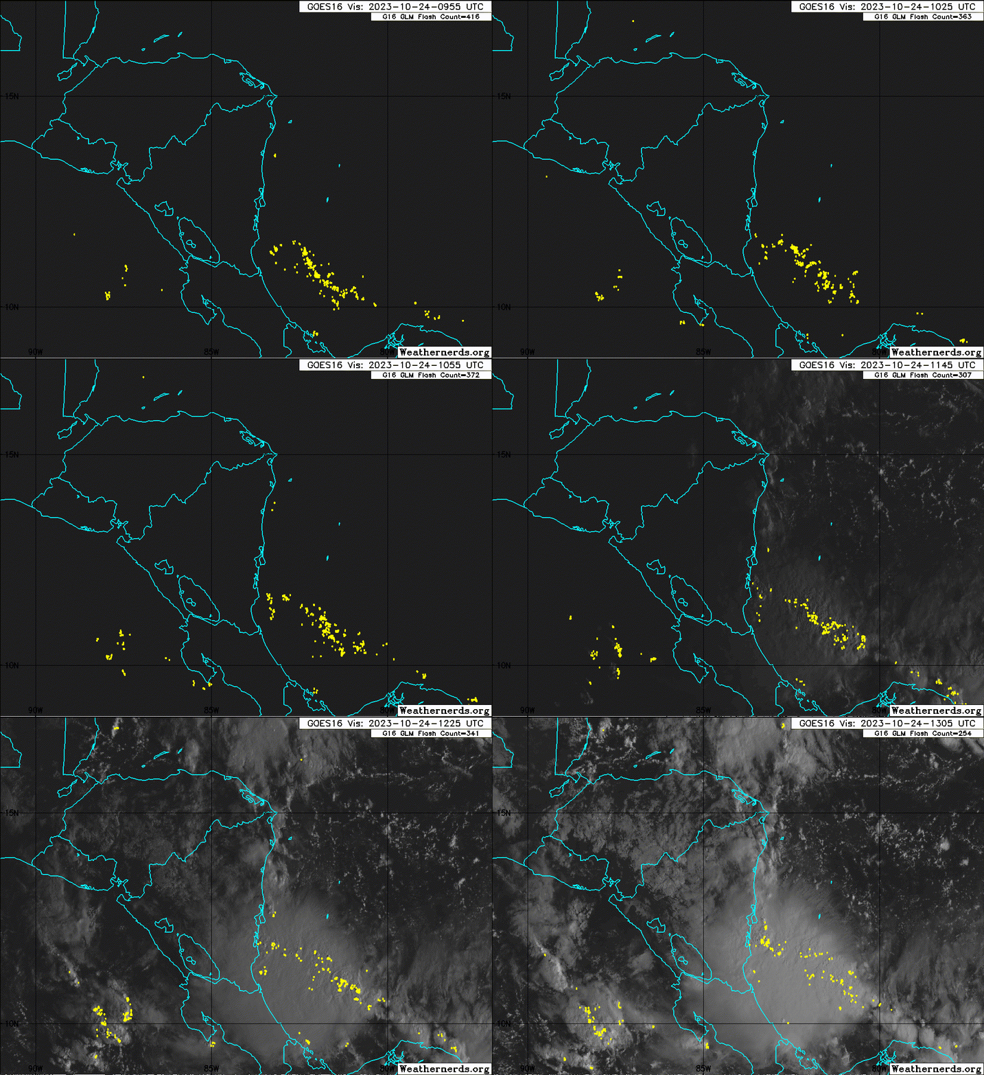
ATL: TWENTY-ONE - Remnants - Discussion
Moderator: S2k Moderators
-
Sciencerocks
- Category 5

- Posts: 7286
- Age: 38
- Joined: Thu Jul 06, 2017 1:51 am
- cycloneye
- Admin

- Posts: 139082
- Age: 67
- Joined: Thu Oct 10, 2002 10:54 am
- Location: San Juan, Puerto Rico
Re: ATL: TWENTY-ONE - Remnants - Discussion
BULLETIN
Remnants Of Twenty-One Advisory Number 4
NWS National Hurricane Center Miami FL AL212023
1100 AM EDT Tue Oct 24 2023
...TROPICAL DEPRESSION DISSIPATES INLAND...
...THIS IS THE LAST ADVISORY...
SUMMARY OF 1100 AM EDT...1500 UTC...INFORMATION
-----------------------------------------------
LOCATION...13.6N 84.8W
ABOUT 130 MI...210 KM NNW OF BLUEFIELDS NICARAGUA
MAXIMUM SUSTAINED WINDS...25 MPH...35 KM/H
PRESENT MOVEMENT...WNW OR 290 DEGREES AT 3 MPH...6 KM/H
MINIMUM CENTRAL PRESSURE...1007 MB...29.74 INCHES
WATCHES AND WARNINGS
--------------------
There are no coastal watches or warnings in effect.
DISCUSSION AND OUTLOOK
----------------------
At 1100 AM EDT (1500 UTC), the remnants of Tropical Depression
Twenty-One were located near latitude 13.6 North, longitude 84.8
West. The remnants are moving toward the west-northwest near 3 mph
(6 km/h) and gradual turn toward the west is expected soon.
Maximum sustained winds are near 25 mph (35 km/h) with higher gusts.
The estimated minimum central pressure is 1007 mb (29.74 inches).
HAZARDS AFFECTING LAND
----------------------
Key messages for the remnants of Tropical Depression Twenty-One can
be found in the Tropical Cyclone Discussion under AWIPS header
MIATCDAT1 and WMO header WTNT41 KNHC.
RAINFALL: The remnants of the tropical depression are expected to
produce additional rainfall totals of 4 to 8 inches with maximum
amounts of 12 inches across Nicaragua and 2 to 4 inches with maximum
amounts of 6 inches across southern and eastern Honduras. These
rains are likely to produce flash and urban flooding, along with
mudslides in areas of higher terrain.
NEXT ADVISORY
-------------
This is the last public advisory issued by the National Hurricane
Center on this system.
$$
Forecaster Bucci
0 likes
Visit the Caribbean-Central America Weather Thread where you can find at first post web cams,radars
and observations from Caribbean basin members Click Here
and observations from Caribbean basin members Click Here
Who is online
Users browsing this forum: No registered users and 99 guests