EPAC: PILAR - Post-Tropical - Discussion

Moderator: S2k Moderators

Message
Author
User avatar
cycloneye
Admin
Admin
Posts: 139080
Age: 67
Joined: Thu Oct 10, 2002 10:54 am
Location: San Juan, Puerto Rico

EPAC: PILAR - Post-Tropical - Discussion

#1 Postby cycloneye » Wed Oct 25, 2023 7:33 am

EP, 92, 2023102512, , BEST, 0, 110N, 891W, 20, 1008, DB, 34, NEQ, 0, 0, 0, 0, 1009, 105, 100, 0, 0, E, 0, , 0, 0, INVEST, S, 0, , 0, 0, 0, 0, genesis-num, 030, SPAWNINVEST, ep732023 to ep922023


https://ftp.nhc.noaa.gov/atcf/btk/bep922023.dat
0 likes   
Visit the Caribbean-Central America Weather Thread where you can find at first post web cams,radars
and observations from Caribbean basin members Click Here

User avatar
cycloneye
Admin
Admin
Posts: 139080
Age: 67
Joined: Thu Oct 10, 2002 10:54 am
Location: San Juan, Puerto Rico

Re: EPAC: INVEST 92E - Discussion

#2 Postby cycloneye » Wed Oct 25, 2023 7:35 am

Here we go again.
0 likes   
Visit the Caribbean-Central America Weather Thread where you can find at first post web cams,radars
and observations from Caribbean basin members Click Here

User avatar
wxman57
Moderator-Pro Met
Moderator-Pro Met
Posts: 22482
Age: 66
Joined: Sat Jun 21, 2003 8:06 pm
Location: Houston, TX (southwest)

Re: EPAC: INVEST 92E - Discussion

#3 Postby wxman57 » Wed Oct 25, 2023 7:47 am

cycloneye wrote:Here we go again.


None of the global models indicates any significant development, so far.
1 likes   

User avatar
cycloneye
Admin
Admin
Posts: 139080
Age: 67
Joined: Thu Oct 10, 2002 10:54 am
Location: San Juan, Puerto Rico

Re: EPAC: INVEST 92E - Discussion

#4 Postby cycloneye » Wed Oct 25, 2023 8:31 am

Image
0 likes   
Visit the Caribbean-Central America Weather Thread where you can find at first post web cams,radars
and observations from Caribbean basin members Click Here

User avatar
aspen
Category 5
Category 5
Posts: 8057
Joined: Sat Oct 12, 2019 7:10 pm
Location: Connecticut, USA

Re: EPAC: INVEST 92E - Discussion

#5 Postby aspen » Wed Oct 25, 2023 8:40 am

I’m not writing this off after how badly the models dealt with Otis. With that said, yet another surprise Cat 5 is incredibly unlikely.
1 likes   
Irene '11 Sandy '12 Hermine '16 5/15/2018 Derecho Fay '20 Isaias '20 Elsa '21 Henri '21 Ida '21

I am only a meteorology enthusiast who knows a decent amount about tropical cyclones. Look to the professional mets, the NHC, or your local weather office for the best information.

User avatar
Kingarabian
S2K Supporter
S2K Supporter
Posts: 15434
Joined: Sat Aug 08, 2009 3:06 am
Location: Honolulu, Hawaii

Re: EPAC: INVEST 92E - Discussion

#6 Postby Kingarabian » Wed Oct 25, 2023 9:07 am

Let's hope the models are right with this one.
1 likes   
RIP Kobe Bryant

User avatar
cycloneye
Admin
Admin
Posts: 139080
Age: 67
Joined: Thu Oct 10, 2002 10:54 am
Location: San Juan, Puerto Rico

Re: EPAC: INVEST 92E - Discussion

#7 Postby cycloneye » Wed Oct 25, 2023 1:03 pm

South of Central America and Mexico (EP92):
A broad area of low pressure has formed over the far eastern
Pacific, partially related to the remnants of Atlantic Tropical
Depression Twenty-One. Environmental conditions should be conducive
for development of this system, and a tropical depression will
likely form late this week or this weekend while the low moves
slowly west-northwestward to northwestward.
* Formation chance through 48 hours...low...30 percent.
* Formation chance through 7 days...high...70 percent.
0 likes   
Visit the Caribbean-Central America Weather Thread where you can find at first post web cams,radars
and observations from Caribbean basin members Click Here

User avatar
cycloneye
Admin
Admin
Posts: 139080
Age: 67
Joined: Thu Oct 10, 2002 10:54 am
Location: San Juan, Puerto Rico

Re: EPAC: INVEST 92E - Discussion

#8 Postby cycloneye » Wed Oct 25, 2023 1:24 pm

0 likes   
Visit the Caribbean-Central America Weather Thread where you can find at first post web cams,radars
and observations from Caribbean basin members Click Here

User avatar
Yellow Evan
Professional-Met
Professional-Met
Posts: 15952
Age: 25
Joined: Fri Jul 15, 2011 12:48 pm
Location: Henderson, Nevada/Honolulu, HI
Contact:

Re: EPAC: INVEST 92E - Discussion

#9 Postby Yellow Evan » Wed Oct 25, 2023 4:01 pm

GFS wants a hurricane in an easterly sheared environment before the monsoon trough randomly absorbs it which is suspicious. Also what the GFS did with Otis.

ECMWF has a weak TC into Central America. Steering flow suggests a potent system in the short term would not move in that direction.
0 likes   

User avatar
aspen
Category 5
Category 5
Posts: 8057
Joined: Sat Oct 12, 2019 7:10 pm
Location: Connecticut, USA

Re: EPAC: INVEST 92E - Discussion

#10 Postby aspen » Wed Oct 25, 2023 8:02 pm

18z HWRF-P for Otis shows this becoming a Cat 3 before weakening as it approaches and slows down near the Mexican coast.

18z GFS heads into Mexico, but then it goes back out into the EPac and re-intensified.
0 likes   
Irene '11 Sandy '12 Hermine '16 5/15/2018 Derecho Fay '20 Isaias '20 Elsa '21 Henri '21 Ida '21

I am only a meteorology enthusiast who knows a decent amount about tropical cyclones. Look to the professional mets, the NHC, or your local weather office for the best information.

User avatar
ElectricStorm
Category 5
Category 5
Posts: 4541
Age: 23
Joined: Tue Aug 13, 2019 11:23 pm
Location: Skiatook, OK / Norman, OK

Re: EPAC: INVEST 92E - Discussion

#11 Postby ElectricStorm » Wed Oct 25, 2023 8:20 pm

If this can stay off the coast there's a chance this can become another major but really depends on track.
0 likes   
I am in no way a professional. Take what I say with a grain of salt as I could be totally wrong. Please refer to the NHC, NWS, or SPC for official information.

Boomer Sooner!

User avatar
cycloneye
Admin
Admin
Posts: 139080
Age: 67
Joined: Thu Oct 10, 2002 10:54 am
Location: San Juan, Puerto Rico

Re: EPAC: INVEST 92E - Discussion

#12 Postby cycloneye » Thu Oct 26, 2023 7:09 am

South of Central America and Mexico (EP92):
A broad area of low pressure located a little over one hundred miles
south of the southern coast of Central America is producing
disorganized showers and thunderstorms. Environmental conditions
appear to be conducive for development of this system, and a
tropical depression is likely to form by this weekend while the low
moves slowly west-northwestward to northwestward.
* Formation chance through 48 hours...medium...60 percent.
* Formation chance through 7 days...high...80 percent.
0 likes   
Visit the Caribbean-Central America Weather Thread where you can find at first post web cams,radars
and observations from Caribbean basin members Click Here

User avatar
cycloneye
Admin
Admin
Posts: 139080
Age: 67
Joined: Thu Oct 10, 2002 10:54 am
Location: San Juan, Puerto Rico

Re: EPAC: INVEST 92E - Discussion

#13 Postby cycloneye » Thu Oct 26, 2023 10:35 am

The models are with different directions and no clear consensus and that is why the residents in Central America and SE Mexico should watch it. Let's hope it does not do what Otis did.

Image
0 likes   
Visit the Caribbean-Central America Weather Thread where you can find at first post web cams,radars
and observations from Caribbean basin members Click Here

User avatar
cycloneye
Admin
Admin
Posts: 139080
Age: 67
Joined: Thu Oct 10, 2002 10:54 am
Location: San Juan, Puerto Rico

Re: EPAC: INVEST 92E - Discussion

#14 Postby cycloneye » Thu Oct 26, 2023 12:50 pm

South of Central America and Mexico (EP92):
A broad area of low pressure located a little over one hundred miles
south of the southern coast of Central America is producing
disorganized showers and thunderstorms. Environmental conditions
appear to be conducive for development of this system, and a
tropical depression is likely to form by this weekend while the low
moves slowly west-northwestward to northwestward.
* Formation chance through 48 hours...high...70 percent.
* Formation chance through 7 days...high...80 percent.
0 likes   
Visit the Caribbean-Central America Weather Thread where you can find at first post web cams,radars
and observations from Caribbean basin members Click Here

Sciencerocks
Category 5
Category 5
Posts: 7286
Age: 38
Joined: Thu Jul 06, 2017 1:51 am

Re: EPAC: INVEST 92E - Discussion

#15 Postby Sciencerocks » Thu Oct 26, 2023 2:02 pm

Image
0 likes   

User avatar
cycloneye
Admin
Admin
Posts: 139080
Age: 67
Joined: Thu Oct 10, 2002 10:54 am
Location: San Juan, Puerto Rico

Re: EPAC: INVEST 92E - Discussion

#16 Postby cycloneye » Thu Oct 26, 2023 6:47 pm

South of Central America and Mexico (EP92):
A broad area of low pressure located a couple of hundred miles south
of the southern coast of El Salvador is producing disorganized
shower and thunderstorm activity. Environmental conditions appear to
be conducive for development of this system, and a tropical
depression is likely to form by this weekend while the low moves
slowly northwestward to northward.
* Formation chance through 48 hours...high...70 percent.
* Formation chance through 7 days...high...80 percent.
0 likes   
Visit the Caribbean-Central America Weather Thread where you can find at first post web cams,radars
and observations from Caribbean basin members Click Here

User avatar
ElectricStorm
Category 5
Category 5
Posts: 4541
Age: 23
Joined: Tue Aug 13, 2019 11:23 pm
Location: Skiatook, OK / Norman, OK

Re: EPAC: INVEST 92E - Discussion

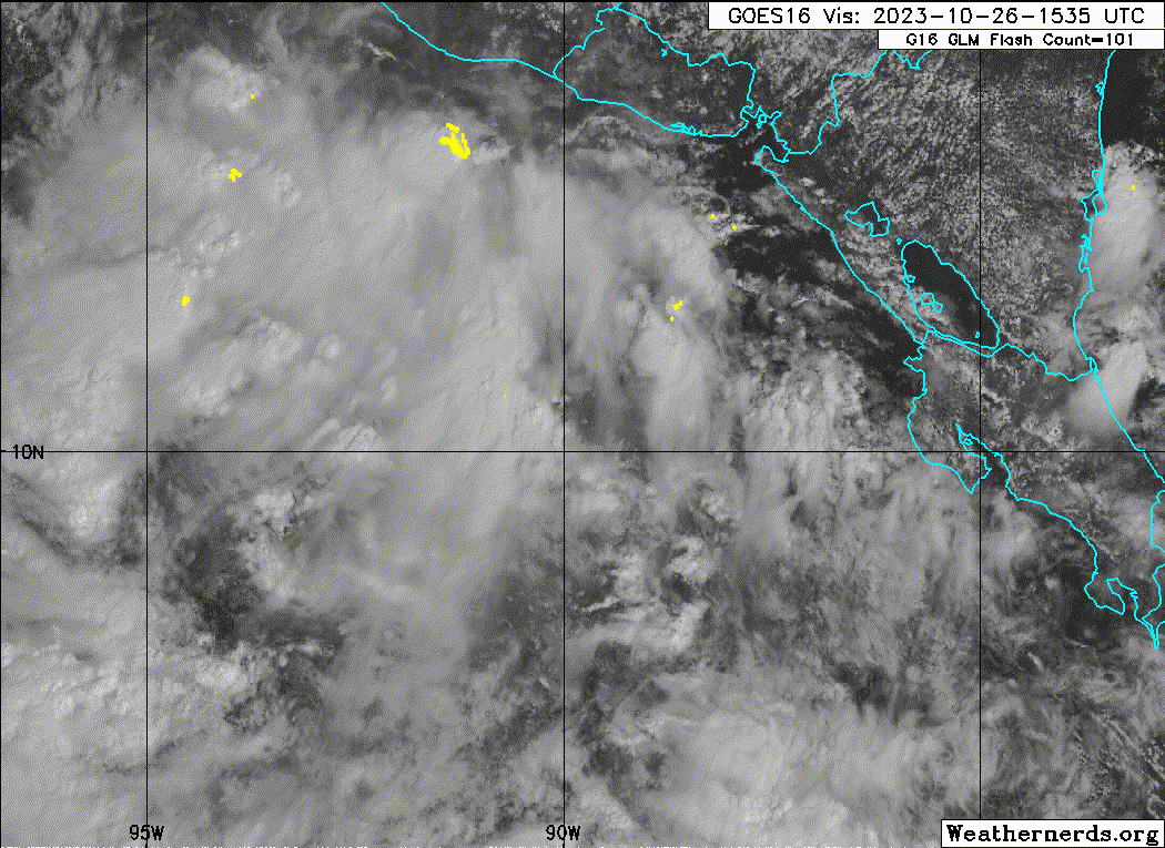
#17 Postby ElectricStorm » Fri Oct 27, 2023 12:33 am

If the GFS verifies that would be one of the most unusual tracks I've seen for an EPAC storm. Becomes a hurricane, landfalls in Mexico then loops back around and becomes a hurricane again...

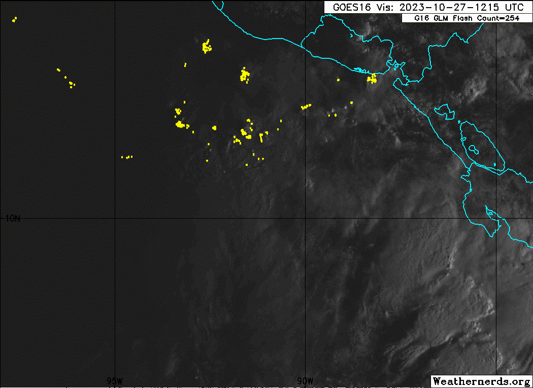
Hurricane models are running now, at least they were for 18z. No 0z runs yet.
HWRF has a Cat 1 before weakening at the end of the run.
HMON has a strong Cat 1 before making landfall at around 70-75kts
HAFS-A doesn't develop and HAFS-B has a weak TS.

Given these models recent massive fail with Otis I would take them with a huge grain of salt for now.
1 likes   
I am in no way a professional. Take what I say with a grain of salt as I could be totally wrong. Please refer to the NHC, NWS, or SPC for official information.

Boomer Sooner!

User avatar
Kingarabian
S2K Supporter
S2K Supporter
Posts: 15434
Joined: Sat Aug 08, 2009 3:06 am
Location: Honolulu, Hawaii

Re: EPAC: INVEST 92E - Discussion

#18 Postby Kingarabian » Fri Oct 27, 2023 6:43 am

If the models are calling for this to stack enough to be a a cat.1/cat.2 then residents should prep for a major hurricane. OHC in the area remains sky high.
Last edited by Kingarabian on Fri Oct 27, 2023 10:16 am, edited 1 time in total.
1 likes   
RIP Kobe Bryant

User avatar
cycloneye
Admin
Admin
Posts: 139080
Age: 67
Joined: Thu Oct 10, 2002 10:54 am
Location: San Juan, Puerto Rico

Re: EPAC: INVEST 92E - Discussion

#19 Postby cycloneye » Fri Oct 27, 2023 6:58 am

South of Central America and Mexico (EP92):
A broad area of low pressure located a couple of hundred miles south
of the southern coast of El Salvador is producing disorganized
shower and thunderstorm activity. Environmental conditions appear to
be conducive for development of this system, and a tropical
depression is likely to form by this weekend while the low moves
slowly northwestward to northward.
* Formation chance through 48 hours...high...80 percent.
* Formation chance through 7 days...high...90 percent.
0 likes   
Visit the Caribbean-Central America Weather Thread where you can find at first post web cams,radars
and observations from Caribbean basin members Click Here

Sciencerocks
Category 5
Category 5
Posts: 7286
Age: 38
Joined: Thu Jul 06, 2017 1:51 am

Re: EPAC: INVEST 92E - Discussion

#20 Postby Sciencerocks » Fri Oct 27, 2023 10:39 am

Image
0 likes   


Return to “2023”

Who is online

Users browsing this forum: No registered users and 88 guests