ATL: INVEST 96L - Discussion

Moderator: S2k Moderators

Message
Author
zzzh
Category 2
Category 2
Posts: 529
Joined: Thu Sep 02, 2021 1:13 pm

ATL: INVEST 96L - Discussion

#1 Postby zzzh » Sat Oct 28, 2023 9:24 am

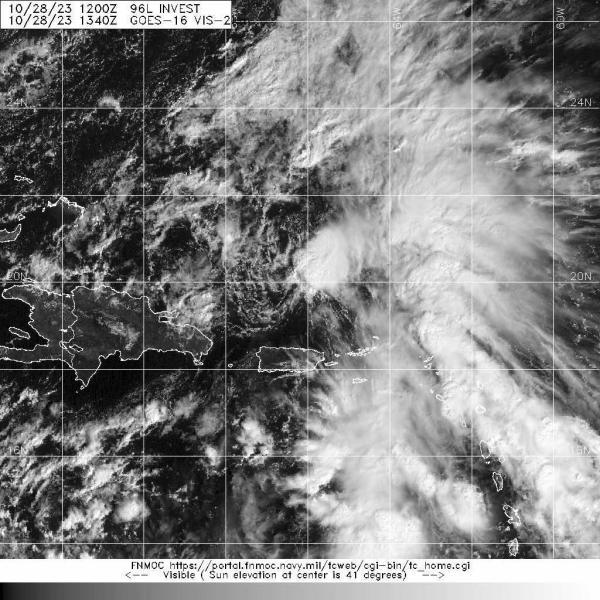
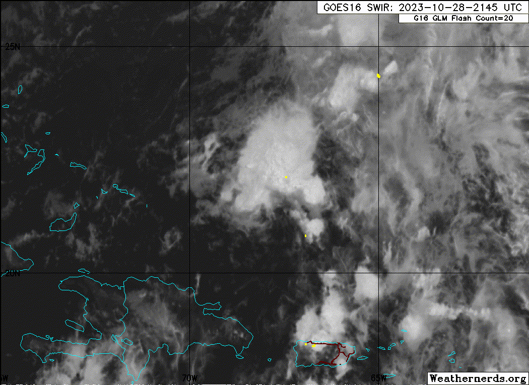
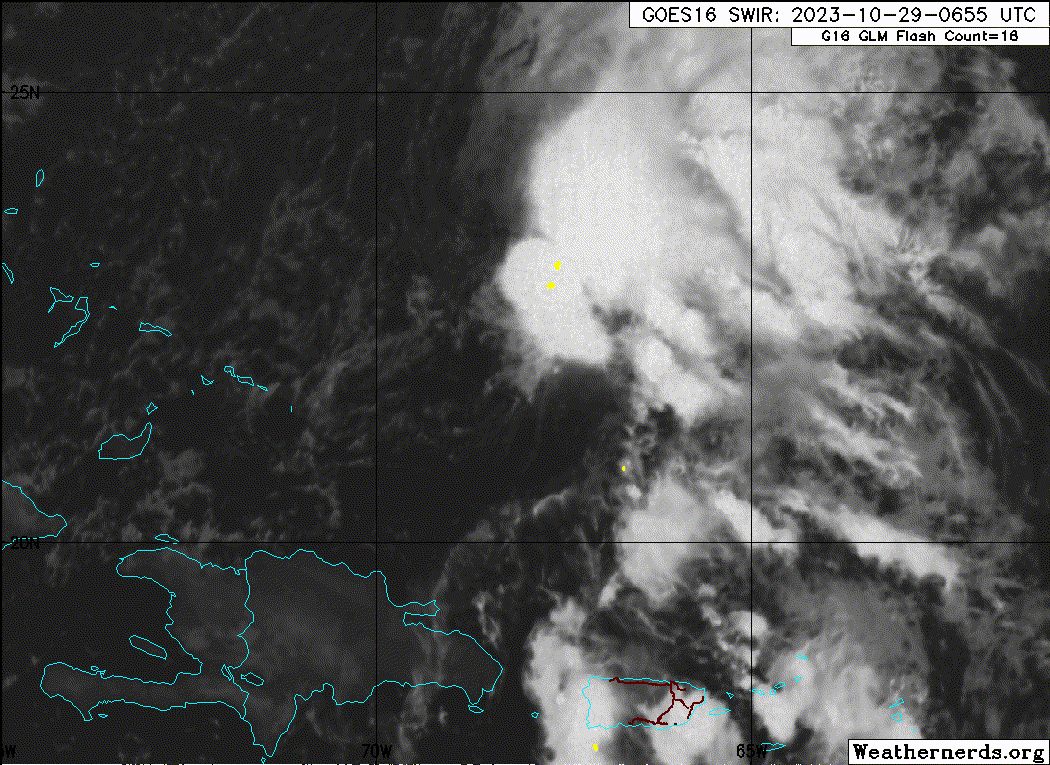
AL, 96, 2023102812, , BEST, 0, 196N, 662W, 25, 1008, DB, 34, NEQ, 0, 0, 0, 0, 1010, 120, 90, 0, 0, L, 0, , 0, 0, INVEST, S, 0, , 0, 0, 0, 0, genesis-num, 044, SPAWNINVEST, al792023 to al962023,


https://ftp.nhc.noaa.gov/atcf/btk/bal962023.dat
1 likes   

floridasun
Tropical Storm
Tropical Storm
Posts: 107
Joined: Tue Sep 14, 2021 3:59 pm

Re: ATL: Invest 96L - Discussion

#2 Postby floridasun » Sat Oct 28, 2023 9:40 am

What area is invest area the area eastern carribbean look more interesting and sw carribbean?
0 likes   

User avatar
Iceresistance
Category 5
Category 5
Posts: 8913
Age: 20
Joined: Sat Oct 10, 2020 9:45 am
Location: Tecumseh, OK/Norman, OK

Re: ATL: Invest 96L - Discussion

#3 Postby Iceresistance » Sat Oct 28, 2023 9:47 am

floridasun wrote:What area is invest area the area eastern carribbean look more interesting and sw carribbean?


This is north of Puerto Rico

Image
https://s6.gifyu.com/images/S89m3.png
0 likes   
Bill 2015 & Beta 2020

Winter 2020-2021 :cold:

All observations are in Tecumseh, OK unless otherwise noted.

Winter posts are focused mainly for Oklahoma & Texas.

Take any of my forecasts with a grain of salt, refer to the NWS, SPC, and NHC for official information

Never say Never with weather! Because ANYTHING is possible!

User avatar
DorkyMcDorkface
Category 2
Category 2
Posts: 698
Age: 26
Joined: Mon Sep 30, 2019 1:32 pm
Location: Mid-Atlantic

Re: ATL: Invest 96L - Discussion

#4 Postby DorkyMcDorkface » Sat Oct 28, 2023 9:49 am

Iceresistance wrote:
floridasun wrote:What area is invest area the area eastern carribbean look more interesting and sw carribbean?


This is north of Puerto Rico

https://s6.gifyu.com/images/S89m3.png

Interesting how they designate it an invest before highlighting it on the TWO. Don't think I've ever seen them do that before. But I guess that means they'll mention it on the next TWO this afternoon.
Last edited by DorkyMcDorkface on Sat Oct 28, 2023 9:49 am, edited 1 time in total.
0 likes   
Floyd 1999 | Isabel 2003 | Hanna 2008 | Irene 2011 | Sandy 2012 | Isaias 2020

LarryWx
Category 5
Category 5
Posts: 5700
Joined: Sun Sep 07, 2003 2:04 pm
Location: GA

Re: ATL: Invest 96L - Discussion

#5 Postby LarryWx » Sat Oct 28, 2023 9:49 am

This weak low has been on all of the models.
0 likes   
Personal Forecast Disclaimer:
The posts in this forum are NOT official forecasts and should not be used as such. They are just the opinion of the poster and may or may not be backed by sound meteorological data. They are NOT endorsed by any professional institution or storm2k.org. For official information, please refer to the NHC and NWS products.

User avatar
Iceresistance
Category 5
Category 5
Posts: 8913
Age: 20
Joined: Sat Oct 10, 2020 9:45 am
Location: Tecumseh, OK/Norman, OK

Re: ATL: Invest 96L - Discussion

#6 Postby Iceresistance » Sat Oct 28, 2023 9:50 am

DorkyMcDorkface wrote:
Iceresistance wrote:
floridasun wrote:What area is invest area the area eastern carribbean look more interesting and sw carribbean?


This is north of Puerto Rico

https://s6.gifyu.com/images/S89m3.png

Interesting how they designate it an invest before highlighting it on the TWO. Don't think I've ever seen them do that before. But I guess that means they'll mention it on the next TWO this afternoon.


There was an TW that got that before the Lemon earlier this season.
0 likes   
Bill 2015 & Beta 2020

Winter 2020-2021 :cold:

All observations are in Tecumseh, OK unless otherwise noted.

Winter posts are focused mainly for Oklahoma & Texas.

Take any of my forecasts with a grain of salt, refer to the NWS, SPC, and NHC for official information

Never say Never with weather! Because ANYTHING is possible!

floridasun
Tropical Storm
Tropical Storm
Posts: 107
Joined: Tue Sep 14, 2021 3:59 pm

Re: ATL: Invest 96L - Discussion

#7 Postby floridasun » Sat Oct 28, 2023 9:55 am

Models were picking up area north pr past few runs
0 likes   

User avatar
Landy
Category 1
Category 1
Posts: 309
Joined: Wed Aug 11, 2021 7:43 pm
Location: Port Orange, FL

Re: ATL: Invest 96L - Discussion

#8 Postby Landy » Sat Oct 28, 2023 10:20 am

Image
0 likes   

User avatar
cycloneye
Admin
Admin
Posts: 139080
Age: 67
Joined: Thu Oct 10, 2002 10:54 am
Location: San Juan, Puerto Rico

Re: ATL: INVEST 96L - Discussion

#9 Postby cycloneye » Sat Oct 28, 2023 12:22 pm

Southwestern Atlantic Ocean (AL96):
A small area of low pressure has formed about 120 miles northeast
of the coast of the Dominican Republic with disorganized shower and
thunderstorm activity. Some development of this system is possible
during the next couple of days while it moves northwestward, east
of the Bahamas. Upper-level winds are forecast to become too
strong for further development by late Monday while the system
turns northward east of the northwestern Bahamas.
* Formation chance through 48 hours...low...20 percent.
* Formation chance through 7 days...low...20 percent.
0 likes   
Visit the Caribbean-Central America Weather Thread where you can find at first post web cams,radars
and observations from Caribbean basin members Click Here

MarioProtVI
Category 2
Category 2
Posts: 670
Age: 22
Joined: Sun Sep 29, 2019 7:33 pm
Location: New Jersey

Re: ATL: INVEST 96L - Discussion

#10 Postby MarioProtVI » Sat Oct 28, 2023 2:18 pm

Strong wind shear of 40 kt is currently over this. Whatever weak center it has is well displaced from convection. Not going to develop.
0 likes   

User avatar
Category5Kaiju
Category 5
Category 5
Posts: 3357
Age: 22
Joined: Thu Dec 24, 2020 12:45 pm
Location: Seattle

Re: ATL: INVEST 96L - Discussion

#11 Postby Category5Kaiju » Sat Oct 28, 2023 3:34 pm

MarioProtVI wrote:Strong wind shear of 40 kt is currently over this. Whatever weak center it has is well displaced from convection. Not going to develop.


Well first of all, that's now (the same can't necessarily be said, say, 24 hours from now). Also if anything, the recurring theme this year has been sheared TSs that fight enough to survive for some time, so I think while far from any guarantee or likelihood, there's a nonzero chance this system could briefly snatch a name before dissipating.
1 likes   
Unless explicitly stated, all information covered in my posts is based on my opinions and observations. Please refer to a professional meteorologist or an accredited weather research agency otherwise, especially if serious decisions must be made in the event of a potentially life-threatening tropical storm or hurricane.

User avatar
cycloneye
Admin
Admin
Posts: 139080
Age: 67
Joined: Thu Oct 10, 2002 10:54 am
Location: San Juan, Puerto Rico

Re: ATL: INVEST 96L - Discussion

#12 Postby cycloneye » Sat Oct 28, 2023 7:01 pm

Southwestern Atlantic Ocean (AL96):
Shower and thunderstorm activity has increased with a small area of
low pressure located about 200 miles northeast of the coast of the
Dominican Republic. While upper-level winds are only marginally
conducive for further development, this system could become a
short-lived tropical depression or storm over the next day or so. By
Monday, upper-level winds are forecast to become too strong for
further development as the system turns northward to the east of the
northwestern Bahamas.
* Formation chance through 48 hours...medium...50 percent.
* Formation chance through 7 days...medium...50 percent.
1 likes   
Visit the Caribbean-Central America Weather Thread where you can find at first post web cams,radars
and observations from Caribbean basin members Click Here

Sciencerocks
Category 5
Category 5
Posts: 7286
Age: 38
Joined: Thu Jul 06, 2017 1:51 am

Re: ATL: INVEST 96L - Discussion

#13 Postby Sciencerocks » Sat Oct 28, 2023 8:13 pm

Image
0 likes   

User avatar
AJC3
Admin
Admin
Posts: 3873
Age: 60
Joined: Tue Aug 31, 2004 7:04 pm
Location: West Melbourne, Florida
Contact:

Re: ATL: INVEST 96L - Discussion

#14 Postby AJC3 » Sun Oct 29, 2023 4:05 am

Special Tropical Weather Outlook
NWS National Hurricane Center Miami FL
450 AM EDT Sun Oct 29 2023

For the North Atlantic...Caribbean Sea and the Gulf of Mexico:

Special Tropical Weather Outlook issued to update the
discussion of the system over the southwestern Atlantic.

Southwestern Atlantic Ocean (AL96):
Satellite images indicate that showers and thunderstorms are
increasing near the center of an area of low pressure located a
couple of hundred miles east of the southeastern Bahamas. A
short-lived tropical depression or storm is likely to form later
today or tonight while the system moves west-northwestward. By
Monday, however, strong upper-level winds and dry air should end the
chances of further development. An Air Force reconnaissance
aircraft is scheduled to investigate the system later today, if
necessary.
* Formation chance through 48 hours...high...70 percent.
* Formation chance through 7 days...high...70 percent.
2 likes   

Sciencerocks
Category 5
Category 5
Posts: 7286
Age: 38
Joined: Thu Jul 06, 2017 1:51 am

Re: ATL: INVEST 96L - Discussion

#15 Postby Sciencerocks » Sun Oct 29, 2023 5:18 am

Image
1 likes   

User avatar
Nimbus
Category 5
Category 5
Posts: 4928
Joined: Mon Jul 19, 2004 10:54 am

Re: ATL: INVEST 96L - Discussion

#16 Postby Nimbus » Sun Oct 29, 2023 6:39 am

You can track the low level center with the Water vapor loop, looks like a Tammy remnant.
Track of the remnant is WSW NHC probability is WNW >.<
0 likes   

User avatar
cycloneye
Admin
Admin
Posts: 139080
Age: 67
Joined: Thu Oct 10, 2002 10:54 am
Location: San Juan, Puerto Rico

Re: ATL: INVEST 96L - Discussion

#17 Postby cycloneye » Sun Oct 29, 2023 6:48 am

Southwestern Atlantic Ocean (AL96):
Showers and thunderstorms associated with an area of low pressure
located a couple of hundred miles east of the southeastern Bahamas
continue to show signs of organization. A short-lived tropical
depression or storm is likely to form later today or tonight while
the system moves west-northwestward. By Tuesday, however, strong
upper-level winds and dry air should end the chances of further
development. An Air Force reconnaissance aircraft is scheduled to
investigate the system later today.
* Formation chance through 48 hours...high...70 percent.
* Formation chance through 7 days...high...70 percent.
0 likes   
Visit the Caribbean-Central America Weather Thread where you can find at first post web cams,radars
and observations from Caribbean basin members Click Here

User avatar
wxman57
Moderator-Pro Met
Moderator-Pro Met
Posts: 22482
Age: 66
Joined: Sat Jun 21, 2003 8:06 pm
Location: Houston, TX (southwest)

Re: ATL: INVEST 96L - Discussion

#18 Postby wxman57 » Sun Oct 29, 2023 8:52 am

It's a weak frontal low in a high shear environment. Not worth messing with it. Flying recon into this? Seriously?
6 likes   

User avatar
ElectricStorm
Category 5
Category 5
Posts: 4541
Age: 23
Joined: Tue Aug 13, 2019 11:23 pm
Location: Skiatook, OK / Norman, OK

Re: ATL: INVEST 96L - Discussion

#19 Postby ElectricStorm » Sun Oct 29, 2023 10:26 am

I wonder if this could steal Vince from the Caribbean system. Won't be anything major either way. Probably 35kts max
2 likes   
I am in no way a professional. Take what I say with a grain of salt as I could be totally wrong. Please refer to the NHC, NWS, or SPC for official information.

Boomer Sooner!

User avatar
Category5Kaiju
Category 5
Category 5
Posts: 3357
Age: 22
Joined: Thu Dec 24, 2020 12:45 pm
Location: Seattle

Re: ATL: INVEST 96L - Discussion

#20 Postby Category5Kaiju » Sun Oct 29, 2023 10:58 am

ElectricStorm wrote:I wonder if this could steal Vince from the Caribbean system. Won't be anything major either way. Probably 35kts max


I think it's possible. This season has had the theme of a very high success rate of high-chance-designated AOIs developing into named storms (the notable recent exception being TD21, which simply ran out of time).
0 likes   
Unless explicitly stated, all information covered in my posts is based on my opinions and observations. Please refer to a professional meteorologist or an accredited weather research agency otherwise, especially if serious decisions must be made in the event of a potentially life-threatening tropical storm or hurricane.


Return to “2023”

Who is online

Users browsing this forum: No registered users and 88 guests