ATL: INVEST 99L - Discussion

Moderator: S2k Moderators

Message
Author
Subtrop
Category 1
Category 1
Posts: 448
Joined: Sun Feb 21, 2021 9:45 pm

ATL: INVEST 99L - Discussion

#1 Postby Subtrop » Mon Nov 20, 2023 8:07 am

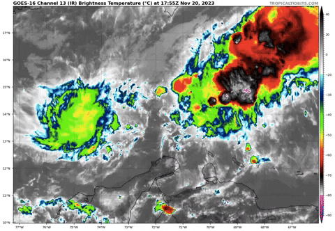
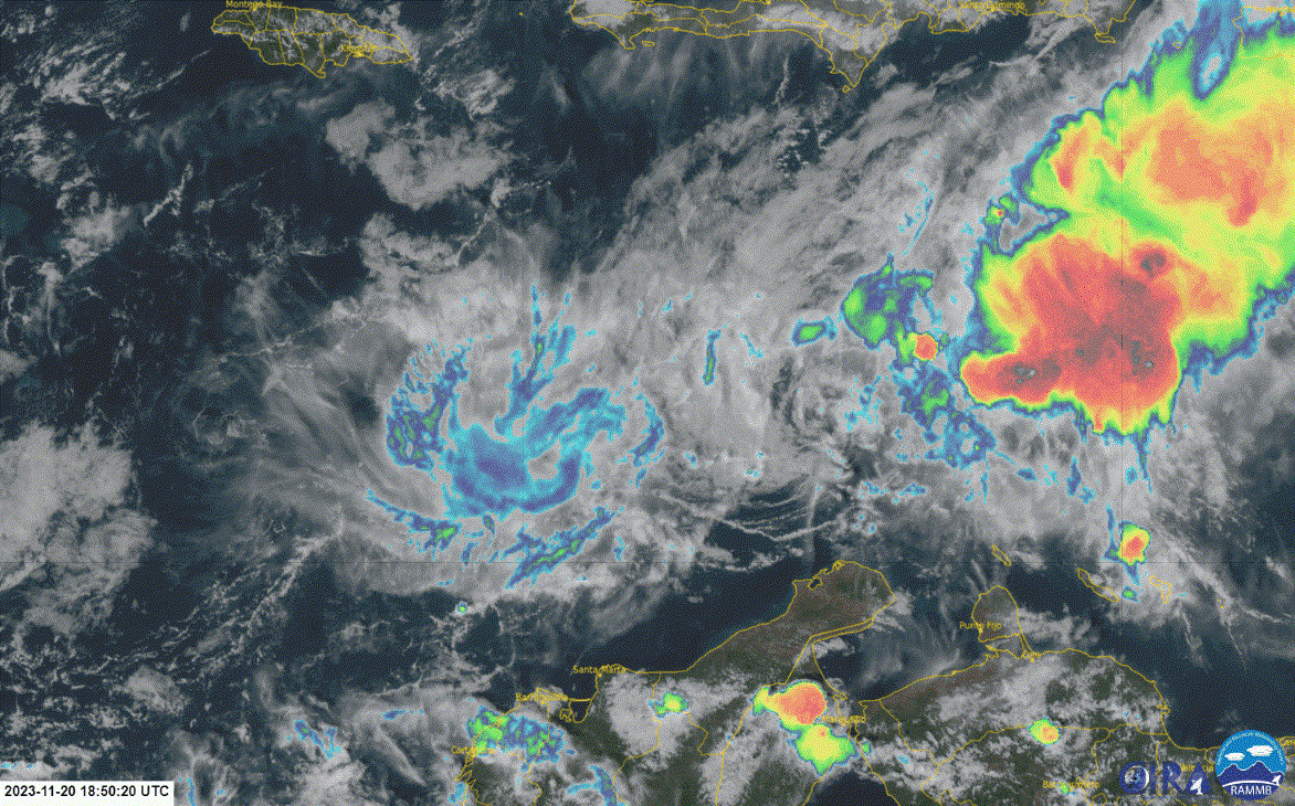
AL, 99, 2023112012, , BEST, 0, 140N, 731W, 20, 1008, LO, 34, NEQ, 0, 0, 0, 0, 1010, 80, 40, 0, 0, L, 0, , 0, 0, INVEST, S, 0, , 0, 0, 0, 0, genesis-num, 048, SPAWNINVEST, al742023 to al992023,


https://ftp.nhc.noaa.gov/atcf/btk/
0 likes   

User avatar
cycloneye
Admin
Admin
Posts: 139080
Age: 67
Joined: Thu Oct 10, 2002 10:54 am
Location: San Juan, Puerto Rico

Re: ATL: INVEST 99L - Discussion

#2 Postby cycloneye » Mon Nov 20, 2023 8:40 am

Image
0 likes   
Visit the Caribbean-Central America Weather Thread where you can find at first post web cams,radars
and observations from Caribbean basin members Click Here

User avatar
Hurricane2022
Category 4
Category 4
Posts: 921
Joined: Tue Aug 23, 2022 11:38 pm
Location: Araçatuba, Brazil

Re: ATL: INVEST 99L - Discussion

#3 Postby Hurricane2022 » Mon Nov 20, 2023 10:15 am


Again? :roll:
1 likes   
Sorry for the bad English sometimes...!
For reliable and detailed information for any meteorological phenomenon, please consult the National Hurricane Center, Joint Typhoon Warning Center , or your local Meteo Center.

--------

Una cvm Christo, pro Christo, et in Christo. Sit nomen Domini benedictvm.

User avatar
cycloneye
Admin
Admin
Posts: 139080
Age: 67
Joined: Thu Oct 10, 2002 10:54 am
Location: San Juan, Puerto Rico

Re: ATL: INVEST 99L - Discussion

#4 Postby cycloneye » Mon Nov 20, 2023 10:24 am

Circulation exposed.

Image
0 likes   
Visit the Caribbean-Central America Weather Thread where you can find at first post web cams,radars
and observations from Caribbean basin members Click Here

User avatar
cycloneye
Admin
Admin
Posts: 139080
Age: 67
Joined: Thu Oct 10, 2002 10:54 am
Location: San Juan, Puerto Rico

Re: ATL: INVEST 99L - Discussion

#5 Postby cycloneye » Mon Nov 20, 2023 12:36 pm

Central Caribbean Sea (AL99):
Earlier satellite wind data indicated that a small but well-defined
area of low pressure in the central Caribbean Sea was producing
winds of 25-30 mph. However, the associated shower and thunderstorm
activity with this system remains disorganized, and nearby dry air
is forecast to prevent much additional development as the system
begins to drift slowly westward over the next few days.
* Formation chance through 48 hours...low...10 percent.
* Formation chance through 7 days...low...10 percent.
0 likes   
Visit the Caribbean-Central America Weather Thread where you can find at first post web cams,radars
and observations from Caribbean basin members Click Here

User avatar
ThunderForce
Tropical Storm
Tropical Storm
Posts: 158
Age: 25
Joined: Tue Sep 27, 2022 6:20 pm
Location: Florida Panhandle

Re: ATL: INVEST 99L - Discussion

#6 Postby ThunderForce » Mon Nov 20, 2023 2:25 pm

Is it just me or do they keep moving the yellow X in the formation area more and more eastward with each successive update?
0 likes   
Please refer to the NWS, NHC, SPC or a professional meteorologist for information and decision making during storms.

User avatar
Landy
Category 1
Category 1
Posts: 309
Joined: Wed Aug 11, 2021 7:43 pm
Location: Port Orange, FL

Re: ATL: INVEST 99L - Discussion

#7 Postby Landy » Mon Nov 20, 2023 4:17 pm

ThunderForce wrote:Is it just me or do they keep moving the yellow X in the formation area more and more eastward with each successive update?

They are, it's been moving eastward throughout the day.
0 likes   

User avatar
Landy
Category 1
Category 1
Posts: 309
Joined: Wed Aug 11, 2021 7:43 pm
Location: Port Orange, FL

Re: ATL: INVEST 99L - Discussion

#8 Postby Landy » Mon Nov 20, 2023 5:41 pm

Not bad.
Image
1 likes   

User avatar
REDHurricane
Tropical Storm
Tropical Storm
Posts: 206
Age: 26
Joined: Sun Jul 03, 2022 2:36 pm
Location: Northeast Pacific Ocean

Re: ATL: INVEST 99L - Discussion

#9 Postby REDHurricane » Mon Nov 20, 2023 6:00 pm

A bit of convection starting to pop up around the LLC, still needs to get more organized at the mid/upper levels if it's going to develop though -- shear environment is pretty favorable however so I wouldn't completely discount this system just yet

Image

Image
0 likes   

ChrisH-UK
Category 1
Category 1
Posts: 423
Joined: Sat May 29, 2021 8:22 am

Re: ATL: INVEST 99L - Discussion

#10 Postby ChrisH-UK » Mon Nov 20, 2023 6:16 pm

I wonder why 99L is still yellow as it has a good circulation and has plenty of convection.

Source - https://col.st/J33mQ

Image
0 likes   

User avatar
Hurricane2022
Category 4
Category 4
Posts: 921
Joined: Tue Aug 23, 2022 11:38 pm
Location: Araçatuba, Brazil

Re: ATL: INVEST 99L - Discussion

#11 Postby Hurricane2022 » Mon Nov 20, 2023 6:28 pm

ChrisH-UK wrote:I wonder why 99L is still yellow as it has a good circulation and has plenty of convection.

Source - https://col.st/J33mQ

[url]https://imagizer.imageshack.com/img923/5020/YA0oP0.gif [/url]

That's because the models shows nothing coming from this system. GFS shows only a very small and weak circulation in the 18Z init.
Since this is a small system with bad initialization of the models, there is a (low) chance of 99L surprising us
0 likes   
Sorry for the bad English sometimes...!
For reliable and detailed information for any meteorological phenomenon, please consult the National Hurricane Center, Joint Typhoon Warning Center , or your local Meteo Center.

--------

Una cvm Christo, pro Christo, et in Christo. Sit nomen Domini benedictvm.

User avatar
cycloneye
Admin
Admin
Posts: 139080
Age: 67
Joined: Thu Oct 10, 2002 10:54 am
Location: San Juan, Puerto Rico

Re: ATL: INVEST 99L - Discussion

#12 Postby cycloneye » Mon Nov 20, 2023 6:41 pm

Central Caribbean Sea (AL99):
Disorganized showers and thunderstorms over the central Caribbean
Sea are associated with a small low pressure area. Although the
thunderstorm activity has recently increased over the southwestern
portion of the low, nearby dry air is forecast to prevent much
additional development of the system as it begins to drift slowly
westward over the next couple of days.
* Formation chance through 48 hours...low...10 percent.
* Formation chance through 7 days...low...10 percent.
0 likes   
Visit the Caribbean-Central America Weather Thread where you can find at first post web cams,radars
and observations from Caribbean basin members Click Here

User avatar
cycloneye
Admin
Admin
Posts: 139080
Age: 67
Joined: Thu Oct 10, 2002 10:54 am
Location: San Juan, Puerto Rico

Re: ATL: INVEST 99L - Discussion

#13 Postby cycloneye » Mon Nov 20, 2023 7:32 pm

ThunderForce wrote:Is it just me or do they keep moving the yellow X in the formation area more and more eastward with each successive update?


Has been moving eastward today and still at 00z, has the position more east.

AL, 99, 2023112012, , BEST, 0, 140N, 729W, 20, 1008, LO
AL, 99, 2023112018, , BEST, 0, 140N, 720W, 25, 1008, LO
AL, 99, 2023112100, , BEST, 0, 138N, 717W, 25, 1008, LO
0 likes   
Visit the Caribbean-Central America Weather Thread where you can find at first post web cams,radars
and observations from Caribbean basin members Click Here

User avatar
REDHurricane
Tropical Storm
Tropical Storm
Posts: 206
Age: 26
Joined: Sun Jul 03, 2022 2:36 pm
Location: Northeast Pacific Ocean

Re: ATL: INVEST 99L - Discussion

#14 Postby REDHurricane » Mon Nov 20, 2023 10:53 pm

Hurricane2022 wrote:
ChrisH-UK wrote:I wonder why 99L is still yellow as it has a good circulation and has plenty of convection.

Source - https://col.st/J33mQ

[url]https://imagizer.imageshack.com/img923/5020/YA0oP0.gif [/url]

That's because the models shows nothing coming from this system. GFS shows only a very small and weak circulation in the 18Z init.
Since this is a small system with bad initialization of the models, there is a (low) chance of 99L surprising us


00z ICON maaaaaaaaaybe starting to pick up on some development? Still a very weak signal at the moment, but since ICON is usually better at sniffing out these small systems compared to the GFS/Euro/CMC it's not completely out of the realm of possibility for 99L to pull a fast one on us over the next several days given the favorable environment. 10% does seem a tad low for a system with a defined LLC and some scattered convection (I'd say closer to 20%), but 40% would be too high until there's at least some additional data/model support to back it up imo

Image

Image
0 likes   

ChrisH-UK
Category 1
Category 1
Posts: 423
Joined: Sat May 29, 2021 8:22 am

Re: ATL: INVEST 99L - Discussion

#15 Postby ChrisH-UK » Tue Nov 21, 2023 4:21 am

Hurricane2022 wrote:
ChrisH-UK wrote:I wonder why 99L is still yellow as it has a good circulation and has plenty of convection.

Source - https://col.st/J33mQ

[url]https://imagizer.imageshack.com/img923/5020/YA0oP0.gif [/url]

That's because the models shows nothing coming from this system. GFS shows only a very small and weak circulation in the 18Z init.
Since this is a small system with bad initialization of the models, there is a (low) chance of 99L surprising us


Yep the global models are too big at times and lack the spatial and temporal resolution to detect small short life storms. It also complicate matters with the some of hurricane models use the GFS to feed in the data.
0 likes   

User avatar
Hurricane2022
Category 4
Category 4
Posts: 921
Joined: Tue Aug 23, 2022 11:38 pm
Location: Araçatuba, Brazil

Re: ATL: INVEST 99L - Discussion

#16 Postby Hurricane2022 » Tue Nov 21, 2023 4:26 am

Image
Dry air (and Niño too) Win. So far.
0 likes   
Sorry for the bad English sometimes...!
For reliable and detailed information for any meteorological phenomenon, please consult the National Hurricane Center, Joint Typhoon Warning Center , or your local Meteo Center.

--------

Una cvm Christo, pro Christo, et in Christo. Sit nomen Domini benedictvm.

User avatar
cycloneye
Admin
Admin
Posts: 139080
Age: 67
Joined: Thu Oct 10, 2002 10:54 am
Location: San Juan, Puerto Rico

Re: ATL: INVEST 99L - Discussion

#17 Postby cycloneye » Tue Nov 21, 2023 7:02 am

8 AM:

Central Caribbean Sea (AL99):
Disorganized showers and thunderstorms over the central Caribbean
Sea are associated with a small area of low pressure. Nearby dry air
is forecast to prevent additional significant development of the
system as it begins to drift slowly westward during the next couple
of days.
* Formation chance through 48 hours...low...10 percent.
* Formation chance through 7 days...low...10 percent.
0 likes   
Visit the Caribbean-Central America Weather Thread where you can find at first post web cams,radars
and observations from Caribbean basin members Click Here

User avatar
cycloneye
Admin
Admin
Posts: 139080
Age: 67
Joined: Thu Oct 10, 2002 10:54 am
Location: San Juan, Puerto Rico

Re: ATL: INVEST 99L - Discussion

#18 Postby cycloneye » Tue Nov 21, 2023 6:29 pm

Bye.

Central Caribbean Sea (AL99):
Showers and thunderstorms associated with a weak low pressure over
the central Caribbean have diminished since yesterday. Nearby dry
air is forecast to prevent any additional development of the system
as it moves slowly westward during the next couple of days.
* Formation chance through 48 hours...low...near 0 percent.
* Formation chance through 7 days...low...near 0 percent.
0 likes   
Visit the Caribbean-Central America Weather Thread where you can find at first post web cams,radars
and observations from Caribbean basin members Click Here


Return to “2023”

Who is online

Users browsing this forum: No registered users and 53 guests