

ROCK wrote:Frank P wrote:Not something anyone wants to see heading your way with the entire GOM ahead of it for additional fuel to light it off.
https://i.ibb.co/sqw7NkS/bigimage.jpg
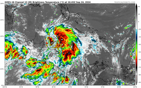
this is one large tropical storm...Rita-ish or Gilbert-ish
Feels like Helene would barely fit in the Gulf of Mexico...guess it's just her bathtub


