NDG wrote:Word of advise, GFS, Euro and ICON nailed both Francene and Helene's track within 24 hours of landfall. I would not be question them.
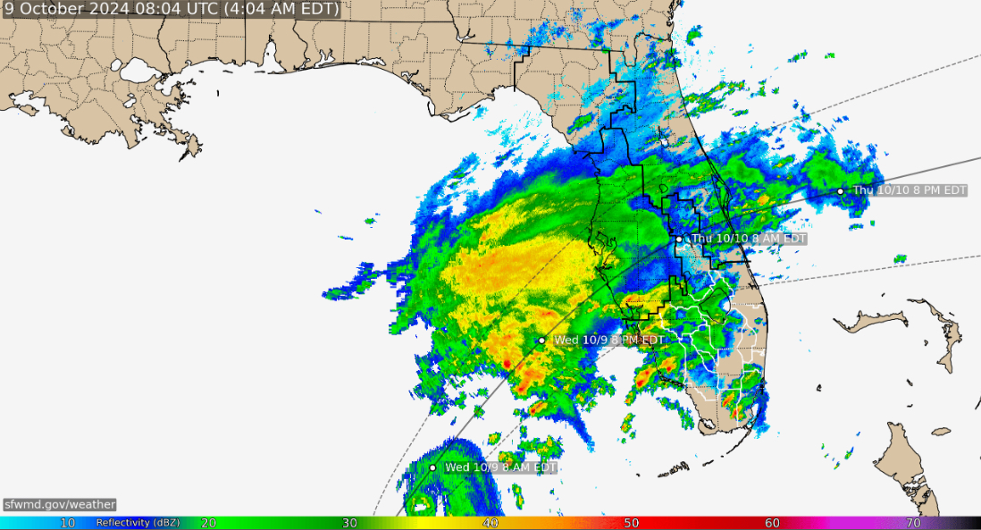
BTW, Milton took a nice NNE wobble in between the last two AF recon passes.
That was my thought. I know we so badly want it to come a little South but betting against such impressive proven technology is foolhardy. It can fail but rarely does this close out.