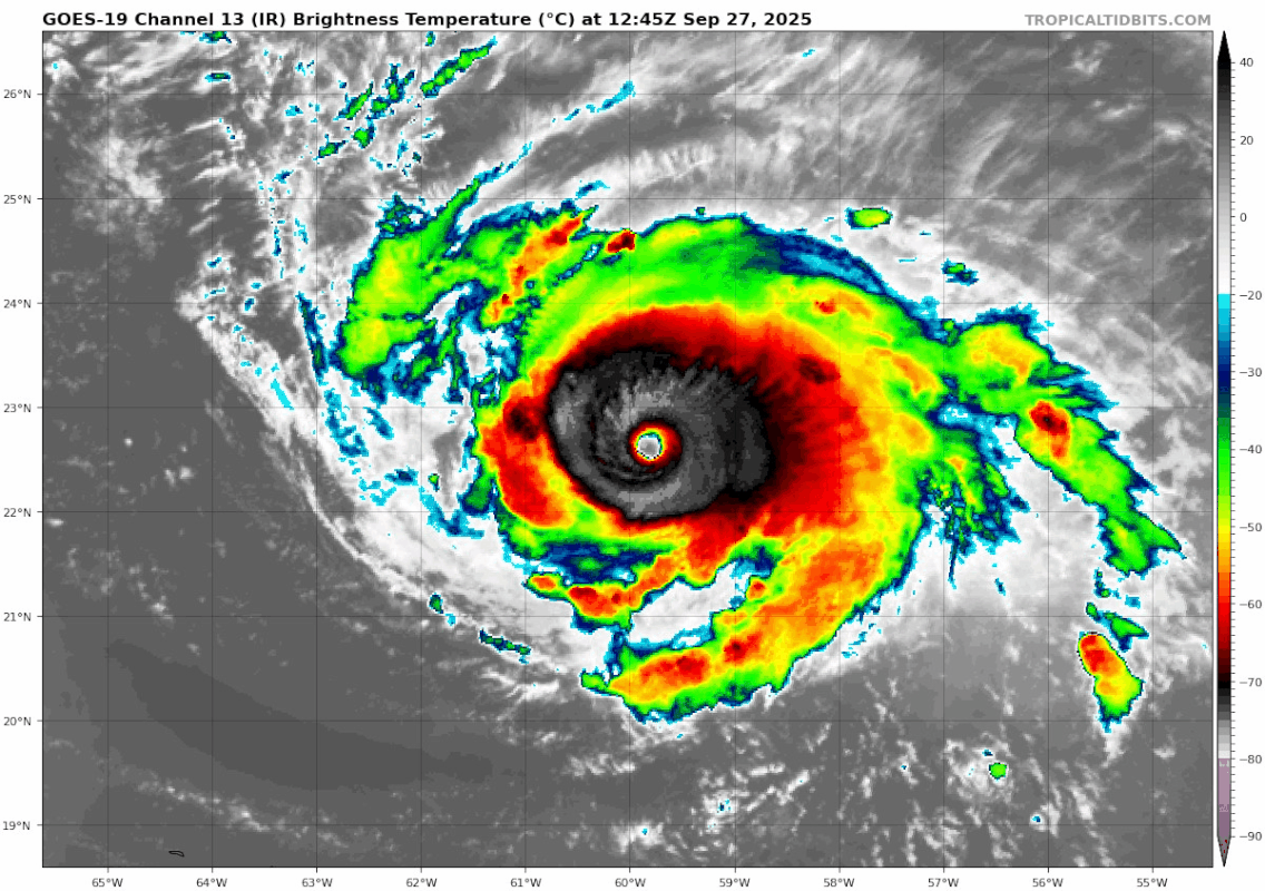
weeniepatrol wrote:With an eye temperature over 20 C, 125 kt is a ridiculous estimate. This is not critique of NHC but rather is critique of Dvorak. We've seen countless examples that it underrates major hurricanes. Too much emphasis on cloud top temperatures. The tropopause in the Atlantic is shallower. You're not going to nor are supposed to GET colder cloud tops. We are not the western Pacific. Eye temperature seems to be much more important. I'm not sure there's ever been an instance of a hurricane with a 20 C eye that wasn't stronger than 125 kt before? lol
Laura 2020 is the weakest 20 C eye hurricane I can think of and it was still 130 kt
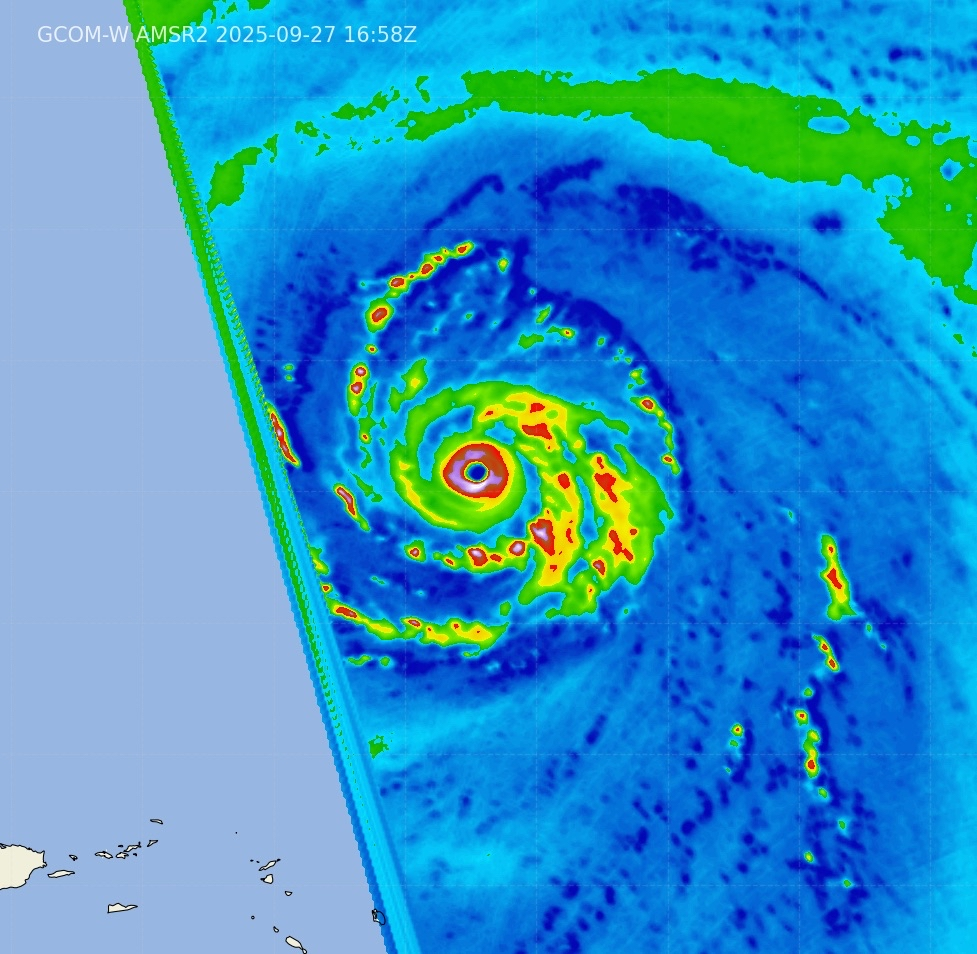
Agreed, Dvorak absolutely needs to start giving more weight to eye temperature. Eye shape and overall CDO structure need to be given attention in the model too. They’re something us human forecasters can easily pick out as indicative of an upper-echelon TC, but I’m not aware of how much they’re factored into ADT. Something like Humberto with a sharply defined >20C eye within a near-circular W-ring should be given more weight in ADT than deeper but less even convection around a less symmetrical eye like Lorenzo.
This isn’t just an Atlantic problem. The Pacific has had several offenders since 2020, such as Douglas, Darby, Dora, Gilma, and others. Gilma especially was really bad, with all three peaks being 10-20 kt underestimated due to bad luck with ADT.