Blown Away wrote: https://postimages.org/]https://i.postimg.cc/13H6fyjs/icon-mslp-pcpn-watl-fh15-120-1.gif
18z ICON
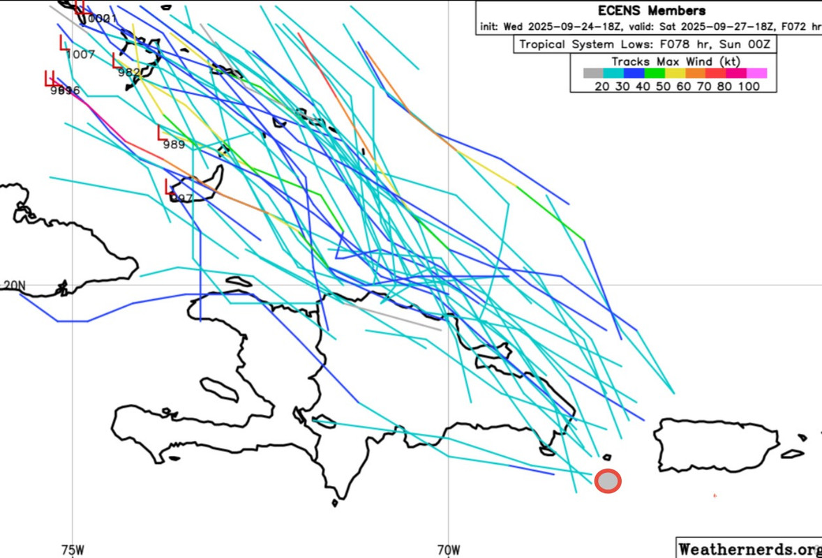
And the GEFS/EPS are forecasting this to be during the potentially dangerous phase 2.
Moderator: S2k Moderators
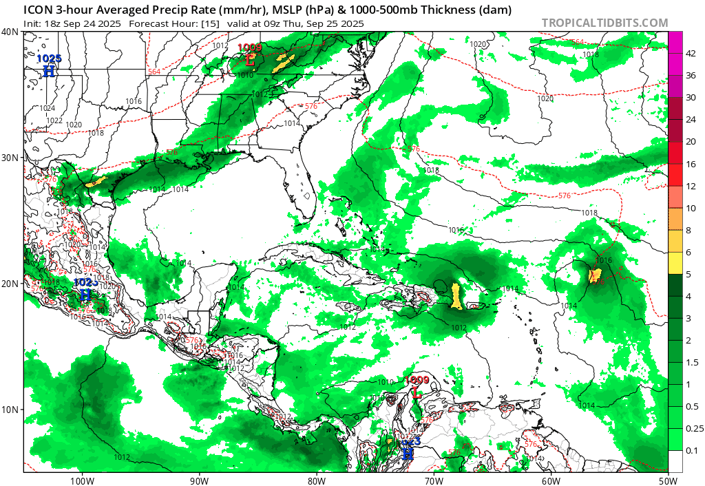
Blown Away wrote: https://postimages.org/]https://i.postimg.cc/13H6fyjs/icon-mslp-pcpn-watl-fh15-120-1.gif
18z ICON


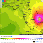


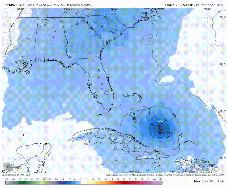
cycloneye wrote:18z Euro develops once again 94L. Don't have graphic as no plus for me.


BobHarlem wrote:0z canadian shifted left to a Myrtle Beach, SC landfall (was out to sea at 12z)
https://i.imgur.com/Y7qbWfX.png

Users browsing this forum: No registered users and 66 guests

