MODERATE risk for parts of Texas?

U.S. & Caribbean Weather Discussions and Severe Weather Events

Moderator: S2k Moderators

Forum rules

The posts in this forum are NOT official forecast and should not be used as such. They are just the opinion of the poster and may or may not be backed by sound meteorological data. They are NOT endorsed by any professional institution or STORM2K.

Help Support Storm2K
Message
Author
User avatar
Portastorm
Storm2k Moderator
Storm2k Moderator
Posts: 9914
Age: 63
Joined: Fri Jul 11, 2003 9:16 am
Location: Round Rock, TX
Contact:

#101 Postby Portastorm » Fri Apr 21, 2006 9:21 am

This time, it looks like we (south central TX) got it much worse than our friends in SE Texas ... usually its the other way around or so it seems.

We had roughly 4.20 inches of rain in a 12-hr period in Austin (north Austin) with 3 different rounds of severe storms. The final batch moved through between 2-3 a.m. (I know because my kids all ran into the bedroom!) with a lot of intense CG lightning and heavy rain. IN fact, a local station recorded 2,800 strikes within an hour period in the Austin metro area. That seems amazing to me!

At least for our part of the state ... the drought now may be easing ... as for my Indians, different story! :roll:
0 likes   

User avatar
jasons2k
Storm2k Executive
Storm2k Executive
Posts: 8245
Age: 51
Joined: Wed Jul 06, 2005 12:32 pm
Location: The Woodlands, TX

#102 Postby jasons2k » Fri Apr 21, 2006 9:24 am

I had .78" with lots of lightning around - but more to the south. Also had 35 mph gusts with very heavy rain. Here are some radar shots - click them twice for full resolution:

Image

Image

Image
0 likes   

User avatar
jasons2k
Storm2k Executive
Storm2k Executive
Posts: 8245
Age: 51
Joined: Wed Jul 06, 2005 12:32 pm
Location: The Woodlands, TX

#103 Postby jasons2k » Fri Apr 21, 2006 9:29 am

New storms popping now SW of Houston:

Image
0 likes   

User avatar
southerngale
Retired Staff
Retired Staff
Posts: 27418
Joined: Thu Oct 10, 2002 1:27 am
Location: Southeast Texas (Beaumont area)

#104 Postby southerngale » Fri Apr 21, 2006 11:35 am

GalvestonDuck wrote:
southerngale wrote:
m_ru wrote:Well, that big cell that caused wind damage in Bryan only gave me here in Huntsville a few 50mph wind gusts and some very heavy rain, and then lightning struck nearly directly over me and my car alarm went off. :roll:

I'm kinda dissapointed. The warnings were for winds in excess of 70mph. If I could just get one 70mph wind gust I'd be an extremely happy camper.

We've yet to get a drop...I'd be thrilled to get some very heavy rain. And you can have the winds - 70mph gusts likely wouldn't be very friendly to all of the blue roofs around here. We just need rain.


It's gotta be hitting you by now...or past.

That was one of the fastest moving storms I've seen in a while. Not too strong or severe here. Just heavy, blowing rain and lots of thunder. All gone in just under 10 minutes.


Yeah, but it wasn't as much as I'd hoped for, but hey...I'll take what I can get.
The Weatherbug station about 5 miles north of here reported 0.03" and the one about 6 miles south reported 0.11" but the one a couple of miles from that one reported 0.50"
I would have thought we'd get more out of it, but like you said, it was moving so fast! You can't even see that it rained outside as the sidewalk, streets, etc. (that I see) are dry and there's not even a puddle.


Nice radar shots, jschlitz.
0 likes   

User avatar
Extremeweatherguy
Category 5
Category 5
Posts: 11095
Joined: Mon Oct 10, 2005 8:13 pm
Location: Florida

#105 Postby Extremeweatherguy » Fri Apr 21, 2006 2:49 pm

next chance of storms comes next Tuesday - Friday. According the SPC...we could see another threat of severe weather too! Things are starting to heat up for us. See my additional below post for more info.
Last edited by Extremeweatherguy on Fri Apr 21, 2006 5:57 pm, edited 1 time in total.
0 likes   

User avatar
cctxhurricanewatcher
Category 5
Category 5
Posts: 1206
Joined: Sun Sep 12, 2004 8:53 pm
Location: Corpus Christi, Texas

#106 Postby cctxhurricanewatcher » Fri Apr 21, 2006 4:04 pm

Congrats to all of you that got "real" rain. We had nothing but some light drizzle which did nothing but turn the layer of dust on my truck into muck. Someday we will get some real rain. :cry: :cry: :cry:
0 likes   

User avatar
Extremeweatherguy
Category 5
Category 5
Posts: 11095
Joined: Mon Oct 10, 2005 8:13 pm
Location: Florida

#107 Postby Extremeweatherguy » Fri Apr 21, 2006 5:56 pm

more rain chances on the way (and more severe weather)! I am very happy about the upcoming week! Here is the latest NWS forecast:

Tuesday: A 20 percent chance of showers and thunderstorms. Mostly cloudy, with a high near 81.

Tuesday Night: A 30 percent chance of showers and thunderstorms. Mostly cloudy, with a low around 63.

Wednesday: A 30 percent chance of showers and thunderstorms. Mostly cloudy, with a high near 79.

Wednesday Night: A 20 percent chance of showers and thunderstorms. Mostly cloudy, with a low around 63.

Thursday: A 40 percent chance of showers and thunderstorms. Cloudy, with a high around 79.

Thursday Night: A 40 percent chance of showers and thunderstorms. Cloudy, with a low near 64.

Friday: A 40 percent chance of showers and thunderstorms. Cloudy, with a high near 80.


Also, here is the SPC input from this morning:

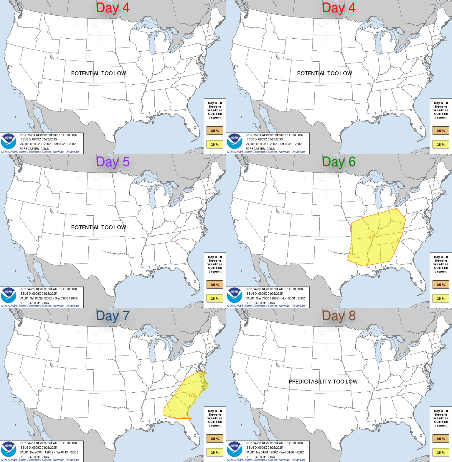
Image

DAY 4-8 CONVECTIVE OUTLOOK
NWS STORM PREDICTION CENTER NORMAN OK
0439 AM CDT FRI APR 21 2006

VALID 241200Z - 291200Z

...DISCUSSION...
MEDIUM RANGE MODELS TEND TO AGREE THAT THE WEAKENING UPPER TROUGH
TRACKING EWD ACROSS THE GREAT BASIN DAY 3 WILL CONTINUE TO WEAKEN
DURING DAYS 4 /MON/ AND 5 /TUE/...AS IT MOVES EWD THROUGH BASE OF
UPPER RIDGE AXIS TOWARD SRN HIGH PLAINS ON MONDAY AND ACROSS OK/KS
TO LOWER MO VALLEY ON TUESDAY. BEYOND DAY 5...THIS TROUGH IS
EXPECTED TO BECOME ABSORBED BY CONFLUENT FLOW REGIME OVER LOWER
OH/TN VALLEYS. ALTHOUGH MODELS DISAGREE WITH STRENGTH OF NEXT
UPSTREAM PACIFIC TROUGH...THEY TEND TO AGREE WITH THE TRACK/TIMING
OF THIS SYSTEM AS IT DIGS SEWD INTO THE SWRN STATES DAY 6 /WED/.

POTENTIAL EXISTS FOR SEVERE STORMS ON DAY 4 /MON/ ACROSS PARTS OF
THE SRN/SERN PLAINS TO THE OZARKS REGION...AND THEN ON DAY 5 /TUE/
SEVERE THREAT SHOULD EXTEND FROM SRN/ERN TX EWD TO THE CENTRAL GULF
COAST STATES. SEVERE THREAT SHOULD THEN SHIFT WWD BY DAY 7 TO THE
SRN HIGH PLAINS WITH APPROACH OF NEXT PACIFIC TROUGH.

..PETERS.. 04/21/2006
0 likes   

User avatar
jasons2k
Storm2k Executive
Storm2k Executive
Posts: 8245
Age: 51
Joined: Wed Jul 06, 2005 12:32 pm
Location: The Woodlands, TX

#108 Postby jasons2k » Fri Apr 21, 2006 8:59 pm

southerngale wrote:Nice radar shots, jschlitz.


Thanks! :D
0 likes   

User avatar
jasons2k
Storm2k Executive
Storm2k Executive
Posts: 8245
Age: 51
Joined: Wed Jul 06, 2005 12:32 pm
Location: The Woodlands, TX

#109 Postby jasons2k » Fri Apr 21, 2006 9:00 pm

I'm very happy things look better this week! We could use a few rounds of solid rain.
0 likes   

User avatar
Extremeweatherguy
Category 5
Category 5
Posts: 11095
Joined: Mon Oct 10, 2005 8:13 pm
Location: Florida

#110 Postby Extremeweatherguy » Sat Apr 22, 2006 3:50 pm

Latest AFD is calling for a chance of rain from next Tuesday all the way to next Sunday! Looking aty the AFD and SPC outlook...I feel the best chances for stormy/severe weather would be Tuesday/Wednesday and then again on Friday night/Saturday of next week. Either way it looks like some beneficial rain is still in the forecast.
0 likes   

User avatar
Extremeweatherguy
Category 5
Category 5
Posts: 11095
Joined: Mon Oct 10, 2005 8:13 pm
Location: Florida

#111 Postby Extremeweatherguy » Sun Apr 23, 2006 12:13 am

0Z GFS is continuing to show the above predictions...but one thing that really interests me is the feature it has coming in about 7-9 days. It is showing a big bullseye of precip. over the area with a low pressure system associated. There also seem to be good dynamics for severe weather. Something to watch for sure.
0 likes   


Return to “USA & Caribbean Weather”

Who is online

Users browsing this forum: No registered users and 16 guests