TD #6 Central Atlantic,Analysis,Sat Pics,Models Thread
Moderator: S2k Moderators
Forum rules
The posts in this forum are NOT official forecasts and should not be used as such. They are just the opinion of the poster and may or may not be backed by sound meteorological data. They are NOT endorsed by any professional institution or STORM2K. For official information, please refer to products from the National Hurricane Center and National Weather Service.
- AnnularCane
- S2K Supporter

- Posts: 2949
- Joined: Thu Jun 08, 2006 9:18 am
- Location: Wytheville, VA
90L is beautiful! I guess 98L is in there somewhere too, because on the Navy site I got the same picture for both of them.
I think I have the right ones.
I think I have the right ones.
Last edited by AnnularCane on Sat Sep 02, 2006 5:06 pm, edited 1 time in total.
0 likes
-
rnbaida
- huricanwatcher
- Category 3

- Posts: 893
- Age: 65
- Joined: Sat Sep 13, 2003 6:09 pm
- Location: Kirkwood NY
- Contact:
-
rnbaida
I think that it won't ride the ridge and will turn north and affect nobody.... We'll see the models at around 8-9pm tonight....huricanwatcher wrote:the feather effect coming off of it... may sustain itself separate from ol 98L this dont happen hardly every and is happening for a reason... sorry IMO
0 likes
- HurricaneMaster_PR
- Category 2

- Posts: 795
- Joined: Tue Jul 22, 2003 6:23 pm
- Location: San Juan, Puerto Rico
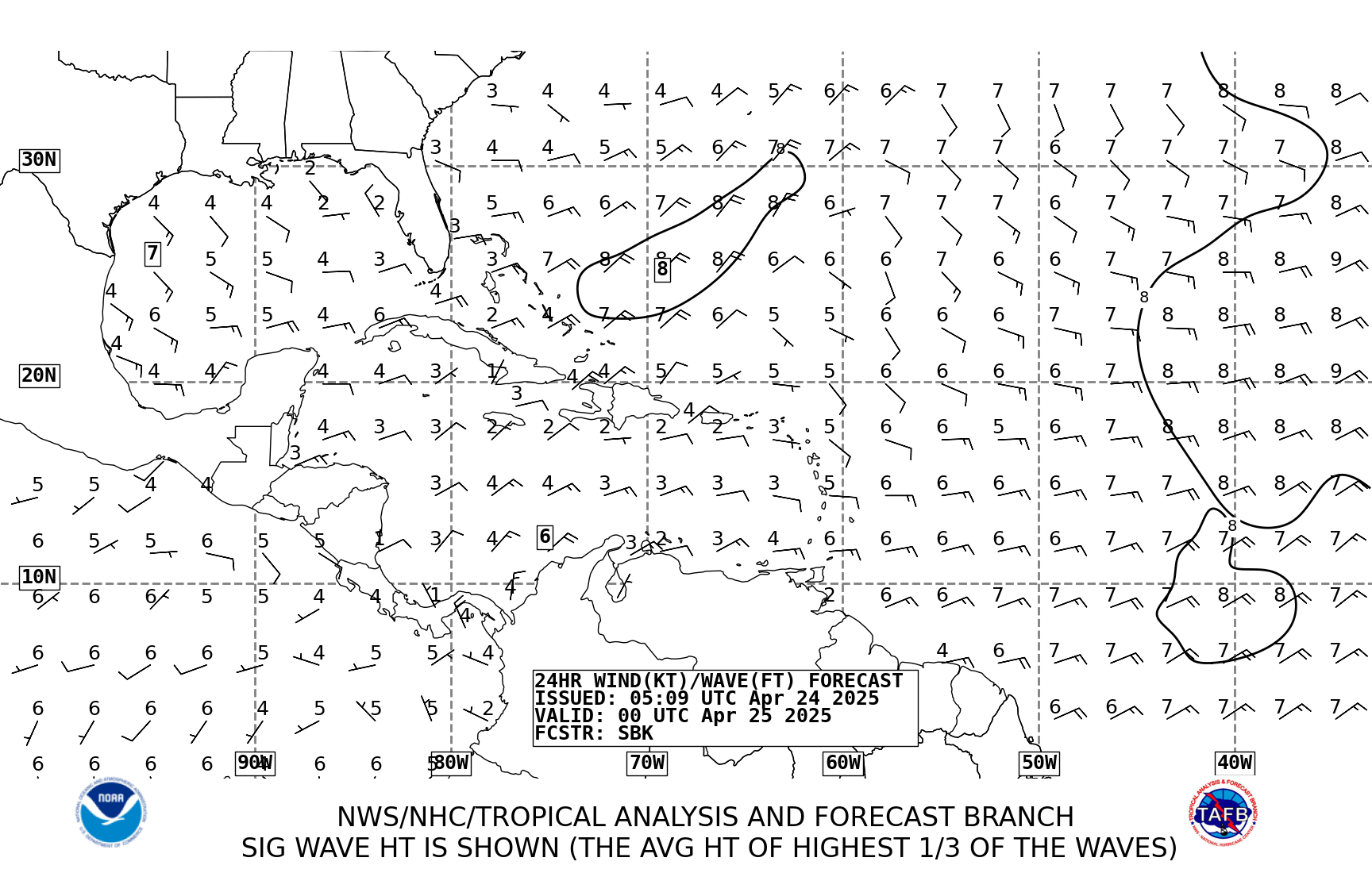
TAFB=Possible Tropical Cyclone in 24 hours!


Last edited by HurricaneMaster_PR on Sat Sep 02, 2006 5:32 pm, edited 1 time in total.
0 likes
jhamps10 wrote:I for one am suprised that they made this into 2 invests. JIMO here but I think that 90L and 98L are in the same wave axis, that is if I am looking at things correctly. But oh well, their decision and not mine, I think that both, actually all 3 invests have a solid chance of development, and infact I think that 90L and 98L could merge and create 9098Lbut seriously I do think that they could come together, question is, what would we call it then
The models have been somewhat confused by these features...and I think they are distinct enough to be designated differently.
They may split the difference...there is a stong convective burst going which started a couple of hours ago...right around 10.5N 38W or so. If someone were to offer me a wager, I would bet that this is the bottom part of the SW to NE elongated axis you mentioned. It's possible the circulation will close off down there and some of that business to the NE will dissipate over the next several hours.
Something is afoot...
MW
0 likes
Updating on the twitter now: http://www.twitter.com/@watkinstrack
wxman57 wrote:Derek and I have been saying today that the NHC was looking in the wrong place for development. 90L is where we've been seeing the strong circulation. 98L weakened considerably since yesterday and is no longer a significant threat of developing.
Thanks for passing that information along...and after looking at this for about 15 mins now...for whatever it's worth...and it's not much...I concur with the new invest, you and Derek.
I just got back from the gym...been playing hoops all day, so I am catching up on things. I haven't read through all the posts yet...
The trailing system looks to be the first to develop...and the prospects for any immediate development for the one past 40W go down. But depending on what happens to the eastern one...the system more to the west could develop down the road...if they can get far enough apart.
MW
0 likes
Updating on the twitter now: http://www.twitter.com/@watkinstrack
- cycloneye
- Admin

- Posts: 148755
- Age: 69
- Joined: Thu Oct 10, 2002 10:54 am
- Location: San Juan, Puerto Rico
Mike,what about the future tracks both systems will have? You know why I ask.
Last edited by cycloneye on Sat Sep 02, 2006 5:45 pm, edited 1 time in total.
0 likes
Visit the Caribbean-Central America Weather Thread where you can find at first post web cams,radars
and observations from Caribbean basin members Click Here
and observations from Caribbean basin members Click Here
wxman57 wrote:Derek and I have been saying today that the NHC was looking in the wrong place for development. 90L is where we've been seeing the strong circulation. 98L weakened considerably since yesterday and is no longer a significant threat of developing.
Convection has been increasing markedly with 98L in the last couple of hours and it now as much or even a tad more than 90L.
0 likes
- cycloneye
- Admin

- Posts: 148755
- Age: 69
- Joined: Thu Oct 10, 2002 10:54 am
- Location: San Juan, Puerto Rico
Trugunzn wrote:Then the pressure pulls away and it heads north away from land. Gfs has the same position as the GFDL and CMC
Dont forget Bermuda.
0 likes
Visit the Caribbean-Central America Weather Thread where you can find at first post web cams,radars
and observations from Caribbean basin members Click Here
and observations from Caribbean basin members Click Here
- Extremeweatherguy
- Category 5

- Posts: 11095
- Joined: Mon Oct 10, 2005 8:13 pm
- Location: Florida
This seems to show 2 systems. One in the GOM (99L?), and one approaching the east coast. If this verifies, it could be an interesting week ahead.
EDIT: Actually no, wait, this is for 264 hours. That system in the GOM looks to be something completely different than 99L (coming from the east, not SE. Could this be 98L or 90L?), and the system off the EC is probably the wave behind 90L.
Here's the loop:
http://www.nco.ncep.noaa.gov/pmb/nwprod ... loop.shtml
0 likes
Extremeweatherguy wrote:This seems to show 2 systems. One in the GOM (99L?), and one approaching the east coast. If this verifies, it could be an interesting week ahead.
It can be painfully difficult to follow vort centers for waves - using the 950mb vorticity maps from FSU is usually the best bet.
99L on the 18Z GFS heads WSW, weakening all the time, till it disappears over Nicaragua. It is NOT the low in the Gulf on the map above.
Astonishingly enough, on the GFS 90L and 98L rotate around each other so that 90L ends up further west than 98L, such that the low in the GOM on the map above is actually 90L, and the one in the Atlantic is 98L.
I'm not kidding.
Check it out:
http://moe.met.fsu.edu/cgi-bin/gfstc2.c ... =Animation
0 likes
-
rnbaida
- Extremeweatherguy
- Category 5

- Posts: 11095
- Joined: Mon Oct 10, 2005 8:13 pm
- Location: Florida
yeah, I just figured that out after posting my original message. This would be very weird if it verified.Derecho wrote:Extremeweatherguy wrote:This seems to show 2 systems. One in the GOM (99L?), and one approaching the east coast. If this verifies, it could be an interesting week ahead.
It can be painfully difficult to follow vort centers for waves - using the 950mb vorticity maps from FSU is usually the best bet.
99L on the 18Z GFS heads WSW, weakening all the time, till it disappears over Nicaragua. It is NOT the low in the Gulf on the map above.
Astonishingly enough, on the GFS 90L and 98L rotate around each other so that 90L ends up further west than 98L, such that the low in the GOM on the map above is actually 90L, and the one in the Atlantic is 98L.
I'm not kidding.
Check it out:
http://moe.met.fsu.edu/cgi-bin/gfstc2.c ... =Animation
0 likes
Who is online
Users browsing this forum: No registered users and 58 guests


