


Mauritius did the outlook for the SW Indian Ocean: http://metservice.intnet.mu/wsoutluk.htm
1. It is likely that the 2007-08 cyclone activity will be slightly below normal with about 7 to 9 named storms. It is to be noted that the yearly average number of tropical storm formations equals to 10 in the SWIO. Although most formations are expected to the east of Diego Garcia, it is not unlikely that there be a formation between Diego and Agalega Island, especially at the start of the season.
2. All named storms that will develop in the South Indian Ocean will NOT necessarily be a direct threat to the islands of the Republic of Mauritius. Statistical analysis show that on an average one tropical storm every year evolves within 100 km of Mauritius and/or Rodrigues. This eventuality is again expected during the coming summer season.
3. It is expected that at least two storms/cyclones will reach tropical cyclone intensity (with gust of the order of 200 km/h near the centre) in the South West Indian Ocean.
Australia's BOM has three different outlooks, one for each TCWC:
Perth: http://www.bom.gov.au/weather/wa/cyclone/seasonal/
Details of the 2007/2008 Tropical Cyclone Seasonal Outlook for North West Australia:
* Significant risk of at least one severe tropical cyclone coastal impact during the season.
* Likelihood of around two coastal impacts.
* Possibility of a pre-Christmas cyclone. Should one form before Christmas; there is a risk of a coastal crossing, most likely in the Kimberley or Eighty-mile Beach area. However all North West communities need to prepare early to mitigate against the risk.
* Total number of cyclones in the northwest region is expected to be greater than last season, with a likely return to near average numbers (the average number of cyclones is 5).
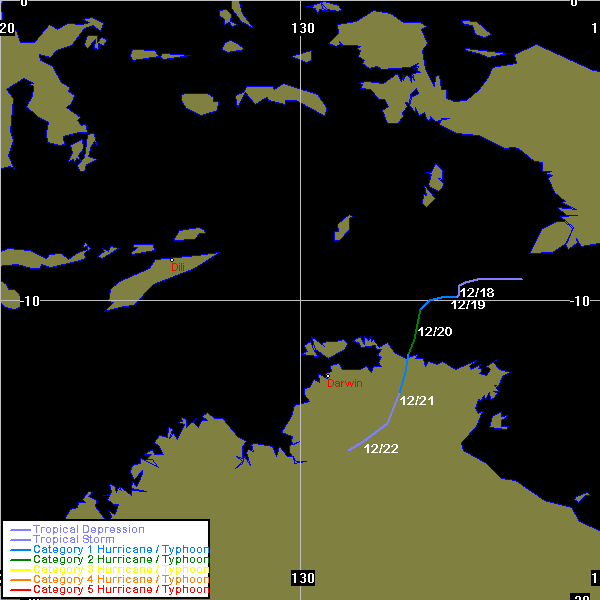
Darwin: http://www.bom.gov.au/weather/nt/cyclone/seasonal/
This season the Northern Territory is expecting a busier cyclone season than last year, with an average to above average number of cyclones in the Northern Region. The average is 2 to 3.
The Manager of the Bureau’s Darwin Climate Service, Sam Cleland, said cyclone frequency was associated with climate conditions.
“La Niña conditions have developed in the Eastern Pacific”, said Mr Cleland, “but we are yet to see a typical response over northern Australia. Sea surface temperatures are yet to show the expected warming, and the Southern Oscillation Index (SOI) – albeit higher than this time last year – is yet to reach values typical of La Niña. In a situation like this, where there are mixed signals, there is added uncertainty in seasonal outlooks.”
Mr Cleland noted the possibility that “seas to our north and west could soon warm to more typical La Niña levels, and so people need to be fully prepared from the start of the cyclone season on 1 November.”
He said that at such an early stage, it is impossible to accurately predict the likely formation, track and severity of any individual cyclone that might occur. Cyclones have formed as early as mid-November near the Northern Territory.
Brisbane: http://www.bom.gov.au/weather/qld/cyclone/seasonal/
Queensland can expect more cyclone activity this season than last, when just two cyclones developed in the Coral Sea, neither of which was severe nor made landfall. It's unlikely however that the coming season will be as active as 2005-06 when severe cyclones Larry and Monica struck the east coast.
Fiji did the outlook for the Southwest Pacific Ocean: http://www.met.gov.fj/documents/Media_r ... 020437.pdf
The average number of tropical cyclones expected to occur in conditions similar to present is
between 7 and 8. Given the current and expected ocean and atmospheric conditions in the
equatorial Pacific, there is expected to be a westward shift in the regions most likely to
experience Tropical Cyclones during the season. This suggests a slightly higher risk than
normal for the Coral Sea, Vanuatu and New Caledonia, near-average risk for countries near the
Date Line (e.g. Fiji and Tonga) and a slightly lower risk than normal for countries further east of
the Dateline.


