
Looks like the more northern area of cells are starting to weaken whilst the ones a little to the south are starting to beocme more potent. The northern batch should help to slightly push up water levels in Lake O.
Given this current pattern could we end up with a above average rainfall in June or were we too far behind at the start of the month?
Florida Weather
Moderator: S2k Moderators
Forum rules

The posts in this forum are NOT official forecast and should not be used as such. They are just the opinion of the poster and may or may not be backed by sound meteorological data. They are NOT endorsed by any professional institution or STORM2K.
-
HURAKAN

- Professional-Met

- Posts: 46084
- Age: 39
- Joined: Thu May 20, 2004 4:34 pm
- Location: Key West, FL
- Contact:
Lake Okeechobee water level as of Jun 23, 2008
9.29 ft.
About 3 ft. below its historical average for this time of year.
Link: https://my.sfwmd.gov/portal/page?_pagei ... ema=PORTAL
It was 9.27 ft. last week.
9.29 ft.
About 3 ft. below its historical average for this time of year.
Link: https://my.sfwmd.gov/portal/page?_pagei ... ema=PORTAL
It was 9.27 ft. last week.
0 likes
-
HURAKAN
- Professional-Met
- Posts: 46084
- Age: 39
- Joined: Thu May 20, 2004 4:34 pm
- Location: Key West, FL
- Contact:
1835 75 PARKLAND BROWARD FL 2631 8024 PARKLAND PD OFFICER REPORTED PENNY SIZE HAIL OVER PAKLAND AREA. (MFL)
2000 75 STUART MARTIN FL 2719 8024 MARTIN COUNTY SHERIFF DEPUTY REPORTED PENNY SIZE HAIL AT THE INTERSECTION OF MONROE STREET AND FEDERAL HIGHWAY IN STUART. (MLB)
2054 175 FORT PIERCE ST. LUCIE FL 2744 8032 STATE WARNING POINT RELAYED REPORT FROM ST LUCIE EM OF GOLF BALL SIZE HAIL. (MLB)
2128 88 PAHOKEE PALM BEACH FL 2682 8066 PUBLIC REPORTED NICKEL SIZE HAIL IN PAHOKEE. (MFL)
0 likes


-
HURAKAN
- Professional-Met
- Posts: 46084
- Age: 39
- Joined: Thu May 20, 2004 4:34 pm
- Location: Key West, FL
- Contact:
Re: Florida Weather Thread-Very Wet Weekend


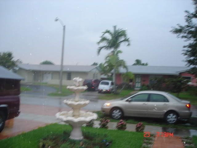
Beautiful sunset. Lawn looking excellent. Only 0.08 inches of rain fell.
0 likes

-
JonathanBelles
- Professional-Met
- Posts: 11430
- Age: 35
- Joined: Sat Dec 24, 2005 9:00 pm
- Location: School: Florida State University (Tallahassee, FL) Home: St. Petersburg, Florida
- Contact:

Re: Florida Weather Thread-Very Wet Weekend
SEVERE THUNDERSTORM WARNING
FLC053-242100-
/O.NEW.KTBW.SV.W.0052.080624T2017Z-080624T2100Z/
BULLETIN - EAS ACTIVATION REQUESTED
SEVERE THUNDERSTORM WARNING
NATIONAL WEATHER SERVICE TAMPA BAY AREA - RUSKIN FL
417 PM EDT TUE JUN 24 2008
THE NATIONAL WEATHER SERVICE IN RUSKIN HAS ISSUED A
* SEVERE THUNDERSTORM WARNING FOR...
CENTRAL HERNANDO COUNTY IN FLORIDA.
* UNTIL 500 PM EDT
* AT 417 PM EDT...NATIONAL WEATHER SERVICE DOPPLER RADAR INDICATED A
SEVERE THUNDERSTORM...CAPABLE OF PRODUCING NICKEL SIZE HAIL AND
DAMAGING 60 MPH WINDS...OVER BROOKSVILLE...MOVING SOUTH AT 5 MPH.
* THE SEVERE THUNDERSTORM WILL BE NEAR...
BROOKSVILLE.
AT 410 PM EDT...EMERGENCY MANAGEMENT OFFICIALS ALSO REPORTED DIME
SIZED HAIL OVER DOWNTOWN BROOKSVILLE.
SEVERE THUNDERSTORMS CONTAIN WIND GUSTS OF 60 MPH OR HIGHER...AND
HAIL THE SIZE OF PENNIES OR LARGER. MOVE TO A PLACE OF SAFETY.
PLEASE REPORT TORNADOES OR FUNNEL CLOUDS...WINDS OF 58 MPH OR
HIGHER...HAIL THE SIZE OF PENNIES OR LARGER...AND ANY WIND DAMAGE TO
YOUR NATIONAL WEATHER SERVICE IN RUSKIN BY CALLING 813-645-2323.
0 likes

-
feederband

- S2K Supporter

- Posts: 3423
- Joined: Wed Oct 01, 2003 6:21 pm
- Location: Lakeland Fl


We had some pea size hail where I am at in south Jacksonville today, the little cell formed right over my place. Funny thing is we had less than a 20% chance and this ended up being one of the more intense storms of the season for me.


Last edited by jrod on Tue Jun 24, 2008 5:21 pm, edited 2 times in total.
0 likes
-
feederband
- S2K Supporter
- Posts: 3423
- Joined: Wed Oct 01, 2003 6:21 pm
- Location: Lakeland Fl
-
feederband
- S2K Supporter
- Posts: 3423
- Joined: Wed Oct 01, 2003 6:21 pm
- Location: Lakeland Fl

-
Extremeweatherguy

- Category 5

- Posts: 11095
- Joined: Mon Oct 10, 2005 8:13 pm
- Location: Florida
BIG TIME storm just to my east right now. Incredible CG lightning going on and the clouds are crazy. There have also been a few times when a sudden burst of 40mph+ wind was pushed out of the storm into my area causing a little bit of light damage (pots blown over, small debris flying around, etc). Conditions have got to be much worse a few miles east of here though. Supposedly there have been reports of severe hail and possible micro-burst winds over along the University Blvd. region.
0 likes


Return to “USA & Caribbean Weather”
Who is online
Users browsing this forum: wxman22 and 50 guests