ATL: Tropical Depression Dolly
Moderator: S2k Moderators
- alan1961
- Category 2

- Posts: 771
- Joined: Mon Mar 20, 2006 11:58 am
- Location: Derby, Derbyshire, England
- Contact:
Re: ATL: INVEST 94 East of the Windward Islands
keep watching this..i think its ready to go!..and not poof either 
0 likes
AL, 94, 2008071512, , BEST, 0, 124N, 480W, 25, 1012, DB, 34, NEQ, 0, 0, 0, 0, 1013, 120, 45, 0, 0, L, 0, , 0, 0, INVEST, M,
The ATCF centre for 24 hours ago was 11.5N 42.0W. That's a distance of 356 nm apart from the ATCF 12z centre, for an average forward speed of 14.8 kt, and if I've got my calculations right, that's a direction of 277°.
The ATCF centre for 24 hours ago was 11.5N 42.0W. That's a distance of 356 nm apart from the ATCF 12z centre, for an average forward speed of 14.8 kt, and if I've got my calculations right, that's a direction of 277°.
Last edited by Chacor on Tue Jul 15, 2008 8:22 am, edited 1 time in total.
0 likes
-
Ed Mahmoud
Re: ATL: INVEST 94 East of the Windward Islands
Looking at the visible, it has West winds to the South of it. But it is so stretched/eliptical, it is almost more like an East-West oriented trough than a circulation center. It does have some storms on the Western side.
In my unofficial opinion, giving a number with unreasonable precision in a futile attempt to impress people with the perception of scientific rigor:
34.875% chance of becoming a TD within 24 hours.
In my unofficial opinion, giving a number with unreasonable precision in a futile attempt to impress people with the perception of scientific rigor:
34.875% chance of becoming a TD within 24 hours.
0 likes
Re: ATL: INVEST 94 East of the Windward Islands
For all of us living on the coast Hurakan, THAT IS ONE SCARY PICTURE because we know that one or more of these systems will in fact grow up to be the neighborhood bully.
Thanks for everything you folks do here to keep those of us that are not as experienced "in the know". You are very much appreciated even though we don't post very much. We read and try to learn and absorb as much as possible and without you this isn't possible so keep the information coming.
Thanks for everything you folks do here to keep those of us that are not as experienced "in the know". You are very much appreciated even though we don't post very much. We read and try to learn and absorb as much as possible and without you this isn't possible so keep the information coming.
0 likes
-
Cryomaniac
- Category 5

- Posts: 1289
- Joined: Tue Aug 15, 2006 2:26 pm
- Location: Newark, Nottinghamshire, UK
- Contact:
Re: ATL: INVEST 94 East of the Windward Islands
alan1961 wrote:keep watching this..i think its ready to go!..and not poof either
I'm tempted to agree.
Also, 58 pages, and this is only an invest? Madness.
0 likes
Re: ATL: INVEST 94 East of the Windward Islands
Cryomaniac wrote:Also, 58 pages, and this is only an invest? Madness.
Yeah way too much hype here and not enough info.
0 likes
-
Cryomaniac
- Category 5

- Posts: 1289
- Joined: Tue Aug 15, 2006 2:26 pm
- Location: Newark, Nottinghamshire, UK
- Contact:
Re: ATL: INVEST 94 East of the Windward Islands
BobHarlem wrote:Cryomaniac wrote:Also, 58 pages, and this is only an invest? Madness.
Yeah way too much hype here and not enough info.
I wouldn't say there's too much hype. There is definitely hype though.
0 likes
- alan1961
- Category 2

- Posts: 771
- Joined: Mon Mar 20, 2006 11:58 am
- Location: Derby, Derbyshire, England
- Contact:
Re: ATL: INVEST 94 East of the Windward Islands
94L has the oppurtunity to develope to at least TS stage before the islands..after that it will be nobbled by the usual mess from south america that destroys or interferes with developement IMO.
0 likes
- hurricanefloyd5
- Category 5

- Posts: 1659
- Age: 45
- Joined: Sun May 02, 2004 10:53 am
- Location: Spartanburg
- Contact:
Re: ATL: INVEST 94 East of the Windward Islands
alan1961 wrote:94L has the oppurtunity to develope to at least TS stage before the islands..after that it will be nobbled by the usual mess from south america that destroys or interferes with developement IMO.
THE AREA OF LOW PRESSURE LOCATED ABOUT 950 MILES EAST OF THE LESSER
ANTILLES HAS CHANGED LITTLE IN ORGANIZATION THIS MORNING.
ALTHOUGH THIS SYSTEM STILL HAS THE POTENTIAL TO BECOME A TROPICAL
DEPRESSION WITHIN THE NEXT DAY OR SO...ENVIRONMENTAL CONDITIONS ARE
BECOMING LESS FAVORABLE FOR DEVELOPMENT.
0 likes
- vbhoutex
- Storm2k Executive

- Posts: 29146
- Age: 74
- Joined: Wed Oct 09, 2002 11:31 pm
- Location: Cypress, TX
- Contact:
Re: ATL: INVEST 94 East of the Windward Islands
Cryomaniac wrote:BobHarlem wrote:Cryomaniac wrote:Also, 58 pages, and this is only an invest? Madness.
Yeah way too much hype here and not enough info.
I wouldn't say there's too much hype. There is definitely hype though.
If you really feel that way contact the staff if you feel there is a problem. Commenting about it only adds to the pages and/or the possibility of more hype. The members are the ones that can control the "problem" by directing their discussions in a productive way and not using one liner posts to comment, etc. We will not however tell people to not express their opinions unless it is done disrespectfully or in a manner detrimental to providing open discussion and informative discussion.
0 likes
Re: ATL: INVEST 94 East of the Windward Islands
Many people thought is would probably develop, including the pros, and some at the NHC. So I don't think there was too much hype. Just high expectations.
Last edited by Thunder44 on Tue Jul 15, 2008 8:59 am, edited 1 time in total.
0 likes
-
Cryomaniac
- Category 5

- Posts: 1289
- Joined: Tue Aug 15, 2006 2:26 pm
- Location: Newark, Nottinghamshire, UK
- Contact:
-
Ed Mahmoud
Re: ATL: INVEST 94 East of the Windward Islands
After looking at convergence, divergence and shear maps EWG posted on Northeast GOMEX thread, and comparing satellite presentation, while the NE GOMEX is far from a lock to develop, it has a better chance than this does.
Yesterday, I thought a tropical storm reaching the mid Lesser Antilles, a path W-NW through the Caribbean to a point somewhere South of Cuba, and a turn Northwest across Cuba, coming out either side of Florida or maybe over South Florida, and a threat anywhere (depending on where it crossed Cuba) from near Mobile to Hatteras.
Now, I strongly suspect an open wave that crosses the Caribbean, hits Central America, and maybe pops in the Pacific, although the MJO phase isn't super-favorable.
The wave behind 94L also has a better chance to develop, based on presentation, shear, low level convergence, upper divergence and water vapor imagery.
The Northeast Gulf system could wind up an invest, maybe even a TD or weak storm, but I suspect it'll be more a beneficial rain maker than a threat. Too soon to tell about wave near 30ºW
Disclaimer: Unofficial, amateur, and not endorsed by Storm2K or the American Dental Association.
0 likes
- gatorcane
- S2K Supporter

- Posts: 23708
- Age: 48
- Joined: Sun Mar 13, 2005 3:54 pm
- Location: Boca Raton, FL
Re: ATL: INVEST 94 East of the Windward Islands
The posts in this forum are NOT official forecast and should not be used as such. They are just the opinion of the poster and may or may not be backed by sound meteorological data. They are NOT endorsed by any professional institution or storm2k.org. For official information, please refer to the NHC and NWS products.
I'm still expecting a tropical depression to form albeit not as quickly as I thought. I projected by about midday today it would be a depression, we are going to need to wait a bit longer.
I would not be giving up so easily on 94L just yet. It has developed some good convection last night as I suspected and now deeper reds are starting to show up which is indicating more convection is on the way.
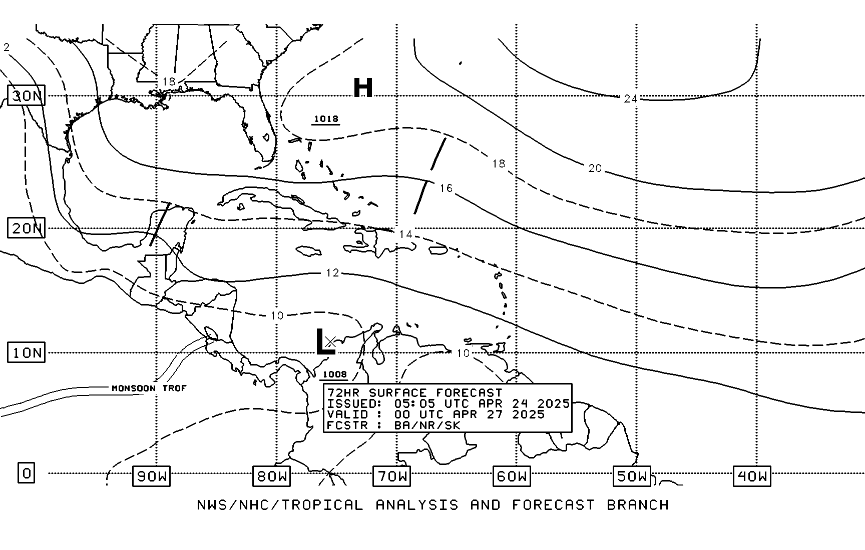
Here is the TAFB which is still showing a possible tropical cyclone in 72 hours heading towards the Greater Antilles (WNW) not a West-runner into the Yucatan (where is everybody getting that from anyway???)

0 likes
- Category 5
- Category 5

- Posts: 10074
- Age: 36
- Joined: Sun Feb 11, 2007 10:00 pm
- Location: New Brunswick, NJ
- Contact:
Re: ATL: INVEST 94 East of the Windward Islands
If I may be blunt, this thing looks horrible. If it does develop it's not happening for a few days. And right now that's a big if.
Back to Bertha for now.

Back to Bertha for now.

0 likes
- Category 5
- Category 5

- Posts: 10074
- Age: 36
- Joined: Sun Feb 11, 2007 10:00 pm
- Location: New Brunswick, NJ
- Contact:
Re:
bob rulz wrote:I really don't think we should all be so quick to write off this system. I mean, I'm not an expert by any means, but if this thing still formed it would hardly be the biggest curveball the tropics have ever thrown us.
Absolutely, but right now it's got some major work to do. And yes we've seen much stranger things.
0 likes
Who is online
Users browsing this forum: No registered users and 13 guests


