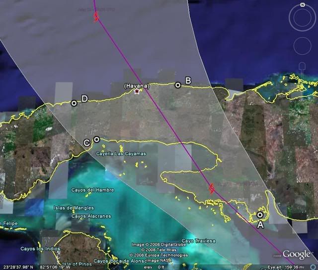
>>Actually it was an out of season cold front which rarely dips as far south as that one did; I remember it like yesterday.
http://en.wikipedia.org/wiki/Hurricane_CharleyShows what is described as a mid-tropospheric trough - which you can see across the eastern Panhandle and Big Bend (as noted, I said a boundary was there). If you watch the eye landfall on the satellite on the link, you can see how it almost gets pulled in and hooks as the circulation catches the land. Clearly the storm was going to move NE short of that trough washing out or whatever, but it did so further south than if it would have ridden up closer to the boundary (clearly seen in the still photo). You might be entirely right as the land interaction thing is a theory I have which will have to be tested again should a strong and deepening storm be moving close to the West Coast of Florida and catch a piece of land with the circulation. Again, not swearing by this, but that slight hook in is suspicious (to me anyway).


