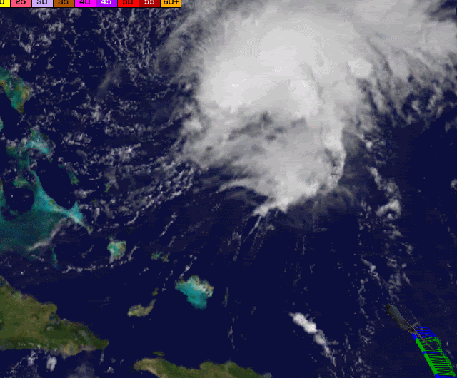
ncweatherwizard wrote: It's really difficult to see in this image, but if you look at an unenhanced IR loop just from just before sunrise, you'll see a low-level "arc" shaped cloud feature moving away from the center beneath the high clouds. This indicates cool downdrafts rushing outward when they reach the surface. As long as that happens (and further combined with shear), Danny will have a very hard time maintaining convection over the center.
Lots of dry air...hence the downdrafts.
http://www.star.nesdis.noaa.gov/smcd/opdb/goes/soundings/skewt23L/html/27074.html