HURAKAN wrote:
Bears watching

How could you miss him
Moderator: S2k Moderators

caribsue wrote:HURAKAN wrote:
Bears watching
How could you miss him


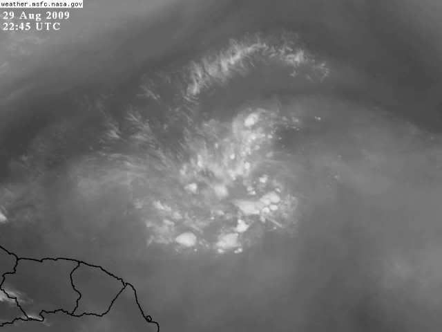
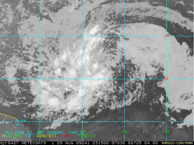
Dean4Storms wrote:I agree, this is the best it has looked with what appears to be a consolidating center, convection near that center and a strong outflow jet to the north along with strong cyclonic turning! What Gives at the NHC, Code yellow?
Well then again the convection is limited!
Users browsing this forum: No registered users and 5 guests