
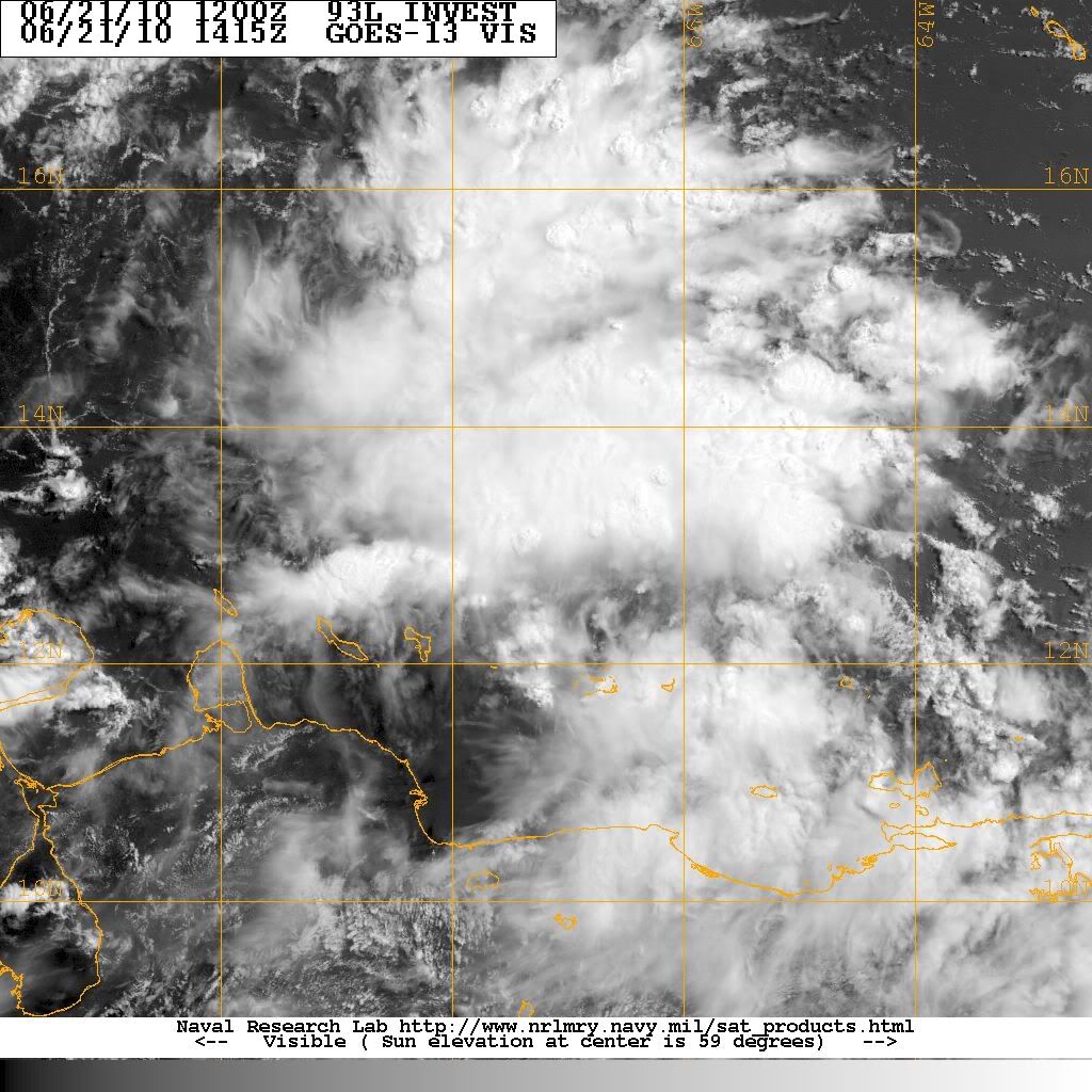
Sanibel wrote:I think 93 is suffering the same fate as 92.
Why? IMO The conditions are more conducive for development in the Caribbean than those we saw with 92L between Africa and the Antilles.
Moderator: S2k Moderators
Sanibel wrote:I think 93 is suffering the same fate as 92.
...and surprisingly the GFS shows nothing at all…only a few of its ensemble members even show anything. I will discount the EURO and CMC as being much too intense resulting in a rightward track over the Gulf. Will side instead with the weaker solution of the NOGAPS, but stronger than the GFS.


Sanibel wrote:I think 93 is suffering the same fate as 92.


Frank2 wrote:...my humble "guess" is that it's more of a MEX/BOC/TX issue - if it becomes an issue, that is (based on the weak ridging forecast to continue over the Northern Gulf)...
Frank


Ivanhater wrote:The 00z model runs were sobering last night. Good news is it is far out, but the consistency of the Euro is concerning
ROCK wrote:
Ivan the EURO was into MX yesterday...so the consistency is not there yet.......give it a few more runs and see if the other globals latch on.......Patience grasshopper...Last thing you guys need is a 12ft storm surge pushing toxic tar balls inland...
ROCK wrote:Ivanhater wrote:The 00z model runs were sobering last night. Good news is it is far out, but the consistency of the Euro is concerning
Ivan the EURO was into MX yesterday...so the consistency is not there yet.......give it a few more runs and see if the other globals latch on.......Patience grasshopper...

ROCK wrote:what organization? I dont see anything at the surface yet....slight banding...anyone see something different?
Users browsing this forum: No registered users and 27 guests

