Another Strong Wave off African Coast (Is Invest 96L)
Moderator: S2k Moderators
Forum rules

The posts in this forum are NOT official forecasts and should not be used as such. They are just the opinion of the poster and may or may not be backed by sound meteorological data. They are NOT endorsed by any professional institution or STORM2K. For official information, please refer to products from the National Hurricane Center and National Weather Service.
-
South Texas Storms

- Professional-Met

- Posts: 4258
- Joined: Thu Jun 24, 2010 12:28 am
- Location: Houston, TX
Re: Another Strong Wave emerging from African Coast
thanks vortex. im very interested to see what it shows.
0 likes

This will likely be an invest soon but note probably even on the CMC because of how close it is to TD6 its highly likely to follow TD6 into any weakness...
Though much depends on where it ends up, for example if it lifts up to the NW like the GFS wants it to then for sure it'll follow it out to sea but if the CMC is right well then it could well miss the connection.
CMC has this for 240hrs:
http://raleighwx.easternuswx.com/models ... cal240.gif
Crawling NW.
0 likes
Personal Forecast Disclaimer:
The posts in this forum are NOT official forecast and should not be used as such. They are just the opinion of the poster and may or may not be backed by sound meteorological data. They are NOT endorsed by any professional institution or storm2k.org. For official information, please refer to the NHC and NWS products
The posts in this forum are NOT official forecast and should not be used as such. They are just the opinion of the poster and may or may not be backed by sound meteorological data. They are NOT endorsed by any professional institution or storm2k.org. For official information, please refer to the NHC and NWS products
-
ColinDelia

- S2K Supporter

- Posts: 918
- Joined: Mon Aug 29, 2005 5:52 am
- Location: The Beach, FL
Re: Another Strong Wave emerging from African Coast
Some changes in the how the models are handling the two circulations.
Pouch Name: PGI34L Official Name: Initial Center Point: 9N 0W
Notes:
Like yesterday, the models analyze two circulations in the area.
Yesterday, the models favored the eastern one.
GFS: Phase Speed: -10.2 Determination: v700 only Level tracked: 700 hPa
Like yesterday, GFS favors the eastern circulation ... but only
for the first 12h. By 36h, GFS has strengthened the western
circulation near the African coast; hence the westward shift.
UKMET: Phase Speed: -9.7 Determination: v700 only Level tracked: 700 hPa
Unlike yesterday, UKMET favors the western circulation from the
start.
0 likes
-
Blown Away

- S2K Supporter
- Posts: 10253
- Joined: Wed May 26, 2004 6:17 am
Re: Another Strong Wave emerging from African Coast
Can somebody post a pic and general location where this low is supposed to develop?
0 likes
Hurricane Eye Experience: David 79, Irene 99, Frances 04, Jeanne 04, Wilma 05… Hurricane Brush Experience: Andrew 92, Erin 95, Floyd 99, Matthew 16, Irma 17, Ian 22, Nicole 22…
-
ConvergenceZone
.gif)
- Category 5

- Posts: 5241
- Joined: Fri Jul 29, 2005 1:40 am
- Location: Northern California
-
ColinDelia
- S2K Supporter
- Posts: 918
- Joined: Mon Aug 29, 2005 5:52 am
- Location: The Beach, FL
Blown Away.
Go here and click on the "I" over western africa
http://cimss.ssec.wisc.edu/tropic2/predict/#
Go here and click on the "I" over western africa
http://cimss.ssec.wisc.edu/tropic2/predict/#
0 likes
-
ColinDelia
- S2K Supporter
- Posts: 918
- Joined: Mon Aug 29, 2005 5:52 am
- Location: The Beach, FL
"34 L is relatively weak, but if it can combine two convectively active vorticity maxes it might hold together long enough to develop. Both have decent dynamics with good vorticity and decent divergence aloft, combined they stand a good chance of surviving the dry air to the north and south."
SOURCE:
https://groups.ssec.wisc.edu/groups/tro ... og-8-22-10
SOURCE:
https://groups.ssec.wisc.edu/groups/tro ... og-8-22-10
0 likes
I suspect this one will develop still but probably will reach its peak in the E.Atlantic unless it really crawls in the next few days due to shear from Dainelle outflow.
I think it maybe invested soon given its look.
I think it maybe invested soon given its look.
0 likes
Personal Forecast Disclaimer:
The posts in this forum are NOT official forecast and should not be used as such. They are just the opinion of the poster and may or may not be backed by sound meteorological data. They are NOT endorsed by any professional institution or storm2k.org. For official information, please refer to the NHC and NWS products
The posts in this forum are NOT official forecast and should not be used as such. They are just the opinion of the poster and may or may not be backed by sound meteorological data. They are NOT endorsed by any professional institution or storm2k.org. For official information, please refer to the NHC and NWS products
-
cycloneye

- Admin

- Posts: 149471
- Age: 69
- Joined: Thu Oct 10, 2002 10:54 am
- Location: San Juan, Puerto Rico
Re: Another Strong Wave emerging from African Coast
TROPICAL WEATHER OUTLOOK
NWS TPC/NATIONAL HURRICANE CENTER MIAMI FL
800 AM EDT MON AUG 23 2010
FOR THE NORTH ATLANTIC...CARIBBEAN SEA AND THE GULF OF MEXICO...
THE NATIONAL HURRICANE CENTER IS ISSUING ADVISORIES ON TROPICAL
STORM DANIELLE...LOCATED ABOUT 850 MILES WEST OF THE SOUTHERNMOST
CAPE VERDE ISLANDS.
AN AREA OF DISTURBED WEATHER LOCATED NEAR THE WEST COAST OF AFRICA
IS ASSOCIATED WITH A TROPICAL WAVE. SOME SLOW DEVELOPMENT OF THIS
SYSTEM IS POSSIBLE OVER THE NEXT COUPLE OF DAYS AS IT MOVES
WESTWARD NEAR 15 MPH. THERE IS A LOW CHANCE...10 PERCENT...OF THIS
SYSTEM BECOMING A TROPICAL CYCLONE DURING THE NEXT 48 HOURS.
ELSEWHERE...TROPICAL CYCLONE FORMATION IS NOT EXPECTED DURING THE
NEXT 48 HOURS.
$$
FORECASTER BERG
0 likes
Visit the Caribbean-Central America Weather Thread where you can find at first post web cams,radars
and observations from Caribbean basin members Click Here
and observations from Caribbean basin members Click Here
-
ColinDelia
- S2K Supporter
- Posts: 918
- Joined: Mon Aug 29, 2005 5:52 am
- Location: The Beach, FL
Yeah its now at 10% I see no reason why it this can't develop unless the outflow really becomes huge from Danielle.
Will be interesting to see how far away from Danielle it can remain and whether the southern area takes over, if the southern area does take over then this one will be south of where the models prog, thats certainly what happened with Danielle when it was just starting to form.
Will be interesting to see how far away from Danielle it can remain and whether the southern area takes over, if the southern area does take over then this one will be south of where the models prog, thats certainly what happened with Danielle when it was just starting to form.
0 likes
Personal Forecast Disclaimer:
The posts in this forum are NOT official forecast and should not be used as such. They are just the opinion of the poster and may or may not be backed by sound meteorological data. They are NOT endorsed by any professional institution or storm2k.org. For official information, please refer to the NHC and NWS products
The posts in this forum are NOT official forecast and should not be used as such. They are just the opinion of the poster and may or may not be backed by sound meteorological data. They are NOT endorsed by any professional institution or storm2k.org. For official information, please refer to the NHC and NWS products

Re: Another Strong Wave emerging from African Coast
IMHO, I think 34L will struggle a bit with dry air.
DAKAR time sections showed some dry air at the mid-levels as the wave passed.
This is different than when the wave that Danielle spawned from passed.
At that time, there was very heavy moisture from the boundary-layer all the way to the top of the troposphere.
Also, MIMIC-TPW shows this wave is more suppressed in that boundary-layer moisture is not as well wrapped and as high in latitude as Danielle was.
This all points IMHO to a weak moisture column not being able to protect 34L from dry air as well as it does with Danielle.
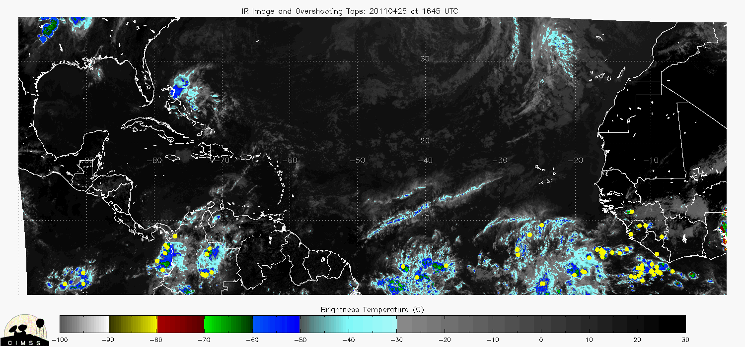
In fact a couple of the latest global models seem to indicate that this may spin up as a cold core.
I have mixed opinions on that since there is a very concentrated area of overshooting tops around this.
OTs should help to generate a warm-core.
So, 34L may be a bit more challenged for genesis than Danielle was, but still could happen.


DAKAR time sections showed some dry air at the mid-levels as the wave passed.
This is different than when the wave that Danielle spawned from passed.
At that time, there was very heavy moisture from the boundary-layer all the way to the top of the troposphere.
Also, MIMIC-TPW shows this wave is more suppressed in that boundary-layer moisture is not as well wrapped and as high in latitude as Danielle was.
This all points IMHO to a weak moisture column not being able to protect 34L from dry air as well as it does with Danielle.
In fact a couple of the latest global models seem to indicate that this may spin up as a cold core.
I have mixed opinions on that since there is a very concentrated area of overshooting tops around this.
OTs should help to generate a warm-core.
So, 34L may be a bit more challenged for genesis than Danielle was, but still could happen.
0 likes
-
cycloneye
- Admin
- Posts: 149471
- Age: 69
- Joined: Thu Oct 10, 2002 10:54 am
- Location: San Juan, Puerto Rico
Re: Another Strong Wave emerging from African Coast
KWT, I think they are a little over 1000 miles apart. But the key for this one to get strong is if it does not go more north following Danielle taking the outflow and some cooler waters in the wake. If it takes the southern route, then things may turn interesting down the road.
0 likes
Visit the Caribbean-Central America Weather Thread where you can find at first post web cams,radars
and observations from Caribbean basin members Click Here
and observations from Caribbean basin members Click Here
-
Blown Away
- S2K Supporter
- Posts: 10253
- Joined: Wed May 26, 2004 6:17 am
Re: Another Strong Wave emerging from African Coast
Good post GCANE! Impressive convection coming off the coast.
0 likes
Hurricane Eye Experience: David 79, Irene 99, Frances 04, Jeanne 04, Wilma 05… Hurricane Brush Experience: Andrew 92, Erin 95, Floyd 99, Matthew 16, Irma 17, Ian 22, Nicole 22…

-
ColinDelia
- S2K Supporter
- Posts: 918
- Joined: Mon Aug 29, 2005 5:52 am
- Location: The Beach, FL
Re: Another Strong Wave emerging from African Coast
Vorticity

Divergence (yellow) and Convergence (Cyan)
http://linkification.com/wx/2010/34/34L ... ivconv.jpg
Divergence (yellow) and Convergence (Cyan)
http://linkification.com/wx/2010/34/34L ... ivconv.jpg
0 likes
-
cycloneye
- Admin
- Posts: 149471
- Age: 69
- Joined: Thu Oct 10, 2002 10:54 am
- Location: San Juan, Puerto Rico
Re: Another Strong Wave emerging from African Coast
Hmmm, is below 10N. It has a chance to take the southern track and avoid what I said at my post above.
0 likes
Visit the Caribbean-Central America Weather Thread where you can find at first post web cams,radars
and observations from Caribbean basin members Click Here
and observations from Caribbean basin members Click Here
It looks like the models try to strengthen the northern region but I don't think that makes much sense given conditions aren't as good as with pre Danielle.
I think this may well develop to the south of the CV Islands but stay weak for quite some way west....it'll probably lift north like Danielle at some point though as there is a decent Vort to the north of it.
Could be invested fairly soon.
I think this may well develop to the south of the CV Islands but stay weak for quite some way west....it'll probably lift north like Danielle at some point though as there is a decent Vort to the north of it.
Could be invested fairly soon.
0 likes
Personal Forecast Disclaimer:
The posts in this forum are NOT official forecast and should not be used as such. They are just the opinion of the poster and may or may not be backed by sound meteorological data. They are NOT endorsed by any professional institution or storm2k.org. For official information, please refer to the NHC and NWS products
The posts in this forum are NOT official forecast and should not be used as such. They are just the opinion of the poster and may or may not be backed by sound meteorological data. They are NOT endorsed by any professional institution or storm2k.org. For official information, please refer to the NHC and NWS products


Tough to know where this one will decide to try and pull itself into an actual system, and its not helped by the fact conditions do look marginal at the moment.
That being said I've no idea on the track just yet, probably will follow Danielle and lift northwards unless this wave is deep and the timing is right but I just can't be as bullish as I was with pre Danielle yet...
That being said I've no idea on the track just yet, probably will follow Danielle and lift northwards unless this wave is deep and the timing is right but I just can't be as bullish as I was with pre Danielle yet...
0 likes
Personal Forecast Disclaimer:
The posts in this forum are NOT official forecast and should not be used as such. They are just the opinion of the poster and may or may not be backed by sound meteorological data. They are NOT endorsed by any professional institution or storm2k.org. For official information, please refer to the NHC and NWS products
The posts in this forum are NOT official forecast and should not be used as such. They are just the opinion of the poster and may or may not be backed by sound meteorological data. They are NOT endorsed by any professional institution or storm2k.org. For official information, please refer to the NHC and NWS products
Who is online
Users browsing this forum: Bashfulpixie and 198 guests