#6794 Postby northjaxpro » Thu Feb 09, 2012 10:59 pm
Checking the latest trends from the models tonight and indeed they have trended much colder than 24 hours ago. We may see hard freeze advisories this weekend over portions of the northern peninsula. The latest MOS projections are now calling for mid and upper 20s for the colder interior areas of the Big Bend region and the I-75 corridor near the Suwannee River basin by Sunday morning. Interior NE Florida areas (Clay, Union, Baker counties) projecting Sunday mins in the upper 20s. NWS Jax office is projecting 30 degrees for Sunday morning.
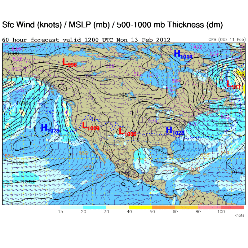
Sunday morning shaping up to be a pretty good advective freeze event across the northern peninsula as a projected 1035 mb surface high pressure builds into the SE US from the Plains. The pressure gradient with the building High and a departing Low pressure system off the Mid Atlantic coast on Sunday will bring brisk northerly winds and a cold, blustery day with significant wind chill values on Sunday. Latest guidance has max temp Sunday in Jax area at only 51 degrees.
Again, as has been the story all season long, this cold shot will be extremely brief. This piece of modified polar air over the Eastern CONUS this weekend will quickly end as the upper level trough axis will rapidly move off into the Western Atlantic on Monday. The upper level flow will become near zonal by Tuesday across our region and temps will rapidly rebound to being above seasonal averages by the middle of next week.
0 likes
NEVER, EVER SAY NEVER in the tropics and weather in general, and most importantly, with life itself!!
________________________________________________________________________________________
Fay 2008 Beryl 2012 Debby 2012 Colin 2016 Hermine 2016 Julia 2016 Matthew 2016 Irma 2017 Dorian 2019