#324 Postby hurricanes1234 » Sat Aug 18, 2012 4:59 pm
105 MPH??? I CANNOT BELIEVE IT! And what's this about 102 knots and a pressure of 955.4 mbar? Does this mean we have a Category 3 hurricane?! Wow! I really need to eat my words about what I said in my earlier posts!!!
_____________
The posts in this forum are NOT official forecast and should not be used as such. They are just the opinion of the poster and may or may not be backed by sound meteorological data. They are NOT endorsed by any professional institution or storm2k.org. For official information, please refer to the NHC and NWS products.
TheEuropean wrote:Unofficial, but impressive:
UW-CIMSS Automated Satellite-Based
Advanced Dvorak Technique (ADT)
Version 8.1.3
Tropical Cyclone Intensity Estimation Algorithm
Current Intensity Analysis
UW - CIMSS
ADVANCED DVORAK TECHNIQUE
ADT-Version 8.1.3
Tropical Cyclone Intensity Algorithm
----- Current Analysis -----
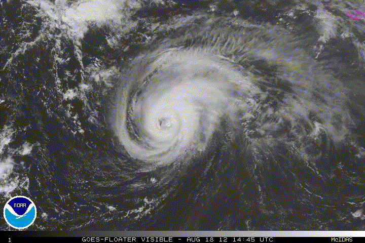
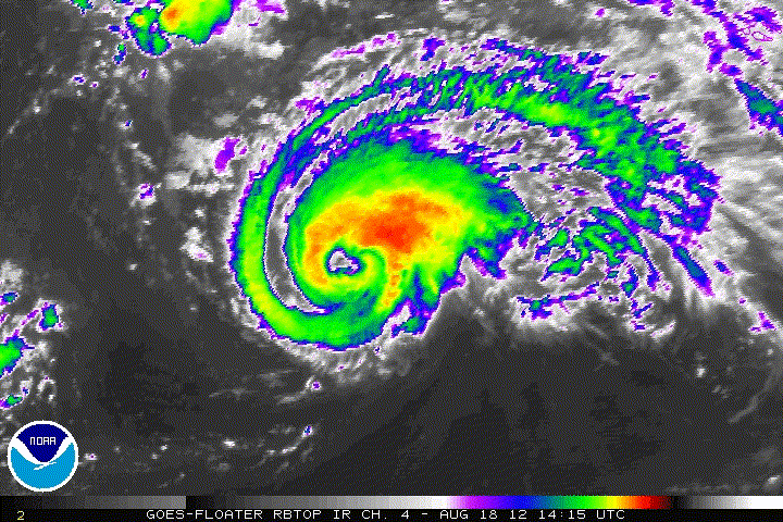
Date : 18 AUG 2012 Time : 191500 UTC
Lat : 34:02:19 N Lon : 36:50:47 W
CI# /Pressure/ Vmax
5.5 / 955.4mb/102.0kt
Final T# Adj T# Raw T#
5.5 5.7 5.7
Estimated radius of max. wind based on IR : 28 km
Center Temp : +11.6C Cloud Region Temp : -59.7C
Scene Type : EYE
Positioning Method : RING/SPIRAL COMBINATION
Ocean Basin : ATLANTIC
Dvorak CI > MSLP Conversion Used : ATLANTIC
Tno/CI Rules : Constraint Limits : NO LIMIT
Weakening Flag : OFF
Rapid Dissipation Flag : OFF
C/K/Z MSLP Estimate Inputs :
- Average 34 knot radii : 95km
- Environmental MSLP : 1015mb
Satellite Viewing Angle : 55.6 degrees
0 likes
PLEASE NOTE: With the exception of information from weather agencies that I may copy and paste here, my posts will NEVER be official, since I am NOT a meteorologist. They are solely my amateur opinion, and may or may not be accurate. Therefore, please DO NOT use them as official details, particularly when making important decisions. Thank you.