

Recon TCPOD:
viewtopic.php?f=59&t=115428
ATL: INVEST 92L - Models
Moderator: S2k Moderators


Re: ATL: INVEST 92L - Models
N2Storms wrote:ROCK wrote:actually it is a shift towards LA now as compared to FL panhandle....and its probably not done shifting...
Like I said yesterday, the FL Panhandle, S. AL and MS coasts are going to get a lot of rain regardless of whether or not a TC heads in this direction. This is JMHO but I think 92L is going to be much more of a rain threat than a wind threat so while it could potentially exacerbate flooding up here in our neck of the woods if it came in our direction, it looks as though we are going to be dealing with the heavy rainfall Thurs, Fri and Sat. A TC would just add insult to injury...
That has not been determined yet.A southern track is still in play.
0 likes
-
tolakram
- Admin

- Posts: 20186
- Age: 62
- Joined: Sun Aug 27, 2006 8:23 pm
- Location: Florence, KY (name is Mark)
Re: ATL: INVEST 92L - Models
perk wrote:N2Storms wrote:ROCK wrote:actually it is a shift towards LA now as compared to FL panhandle....and its probably not done shifting...
Like I said yesterday, the FL Panhandle, S. AL and MS coasts are going to get a lot of rain regardless of whether or not a TC heads in this direction. This is JMHO but I think 92L is going to be much more of a rain threat than a wind threat so while it could potentially exacerbate flooding up here in our neck of the woods if it came in our direction, it looks as though we are going to be dealing with the heavy rainfall Thurs, Fri and Sat. A TC would just add insult to injury...
That has not been determined yet.A southern track is still in play.
Yes, it is, but it's important to see how the Euro now has a vorticity maximum that matches the GFS while the other models are drifting south or west. I really think the entire area needs to be on guard, but a more northern track looks to be gaining some traction.
I'm paying for at least a month of WeatherBell so I can see if Bastardi's comments match his tweets. The tweets are for show mostly, his more in depth analysis is pretty good .. or at least fun to listen too since I'm not qualified to judge good and bad forecasting. He's wondering aloud if the GFS will end up being more correct now that the euro is showing a more concentrated area of vorticity up near Mississippi.
0 likes
M a r k
- - - - -
Join us in chat: Storm2K Chatroom Invite. Android and IOS apps also available.
The posts in this forum are NOT official forecasts and should not be used as such. Posts are NOT endorsed by any professional institution or STORM2K.org. For official information and forecasts, please refer to NHC and NWS products.
-
petit_bois

- Tropical Storm

- Posts: 227
- Joined: Tue Jun 22, 2010 12:04 pm
- Location: Petit Bois Island Mississippi
Re: ATL: INVEST 92L - Models
perk wrote:N2Storms wrote:ROCK wrote:actually it is a shift towards LA now as compared to FL panhandle....and its probably not done shifting...
Like I said yesterday, the FL Panhandle, S. AL and MS coasts are going to get a lot of rain regardless of whether or not a TC heads in this direction. This is JMHO but I think 92L is going to be much more of a rain threat than a wind threat so while it could potentially exacerbate flooding up here in our neck of the woods if it came in our direction, it looks as though we are going to be dealing with the heavy rainfall Thurs, Fri and Sat. A TC would just add insult to injury...
That has not been determined yet.A southern track is still in play.
It's starting to look more and more like we are gonna take another one in the gut here...
We are getting to that magic "72hr" window where all of the models will (should) start coming into agreement. Crazy to think we possibly have landfall of an unknown TC in about 80hrs.
I can't see the GFS being that far off at 72hrs with a system forecast just south of us at this point.
0 likes
Resident of the Atlantic Basin's Major Hurricane Hit Capital!
Camille (200+winds), Frederic, Goerges, Katrina... and many many more.
Disclaimer: I'm likely the smartest guy here... but I have no idea where a tropical cyclone will go. I suggest you take my opinion as a grain of salt. I suggest you look to the National Hurricane Center for accurate info.
Camille (200+winds), Frederic, Goerges, Katrina... and many many more.
Disclaimer: I'm likely the smartest guy here... but I have no idea where a tropical cyclone will go. I suggest you take my opinion as a grain of salt. I suggest you look to the National Hurricane Center for accurate info.
-
tropicwatch

- Category 5

- Posts: 3427
- Age: 62
- Joined: Sat Jun 02, 2007 10:01 am
- Location: The Villages, Florida
- Contact:
Re: ATL: INVEST 92L - Models
I think they will be more in agreement later tonight into tomorrow morning. In the meantime, back and forth we go probably.
0 likes
Tropicwatch
Agnes 72', Eloise 75, Elena 85', Kate 85', Charley 86', Florence 88', Beryl 94', Dean 95', Erin 95', Opal 95', Earl 98', Georges 98', Ivan 2004', Arlene 2005', Dennis 2005', Ida 2009' Debby 2012' Irma 2017' Michael 2018'
Agnes 72', Eloise 75, Elena 85', Kate 85', Charley 86', Florence 88', Beryl 94', Dean 95', Erin 95', Opal 95', Earl 98', Georges 98', Ivan 2004', Arlene 2005', Dennis 2005', Ida 2009' Debby 2012' Irma 2017' Michael 2018'
-
supercane4867
- Category 5
- Posts: 4966
- Joined: Wed Nov 14, 2012 10:43 am

Re: ATL: INVEST 92L - Models
NAM 12Z still WGOM....
http://magpara.ncep.noaa.gov/model-guidance-model-parameter.php?group=Model%20Guidance&model=nam&area=wnatl&cycle=20130814%2012%20UTC¶m=850_temp_mslp_precip&fourpan=no&imageSize=M
http://magpara.ncep.noaa.gov/model-guidance-model-parameter.php?group=Model%20Guidance&model=nam&area=wnatl&cycle=20130814%2012%20UTC¶m=850_temp_mslp_precip&fourpan=no&imageSize=M
Last edited by Portastorm on Wed Aug 14, 2013 10:46 am, edited 1 time in total.
Reason: fixed link
Reason: fixed link
0 likes


Re: ATL: INVEST 92L - Models
not in a hurry for sure....that trof looks to be washing out...ridging moving in...
0 likes


Re: ATL: INVEST 92L - Models
just what the EURO was showing and what the NWS out of Miami released in their DISCO...
0 likes
Re: ATL: INVEST 92L - Models
12Z CMC is running...lets see if it blows it up to a cat 5 this time.... 
0 likes
-
CYCLONE MIKE
- Category 5
- Posts: 2183
- Joined: Tue Aug 31, 2004 6:04 pm
- Location: Gonzales, LA
Re: ATL: INVEST 92L - Models
ROCK wrote:just what the EURO was showing and what the NWS out of Miami released in their DISCO...
Yep. Looks identical to yesterdays 12z run. Unfortunately these models will be all over the place til there is a well defined coc. Regarding the cmc it might split this up into two pieces as well then we will have two cat 5's in the gulf.
0 likes

Re: ATL: INVEST 92L - Models
 Crazy Model Crazy
0 likes
The posts in this forum are NOT official forecast. They are opinions of the poster and may or may not be backed by sound meteorological data
-
South Texas Storms

- Professional-Met

- Posts: 4261
- Joined: Thu Jun 24, 2010 12:28 am
- Location: Houston, TX
Re: ATL: INVEST 92L - Models
12z CMC through 66 hours right now:
http://www.tropicaltidbits.com/analysis ... atl_12.png
Looks like it misses the trough.
http://www.tropicaltidbits.com/analysis ... atl_12.png
Looks like it misses the trough.
0 likes
-
Rgv20

- S2K Supporter

- Posts: 2466
- Age: 39
- Joined: Wed Jan 05, 2011 5:42 pm
- Location: Edinburg/McAllen Tx

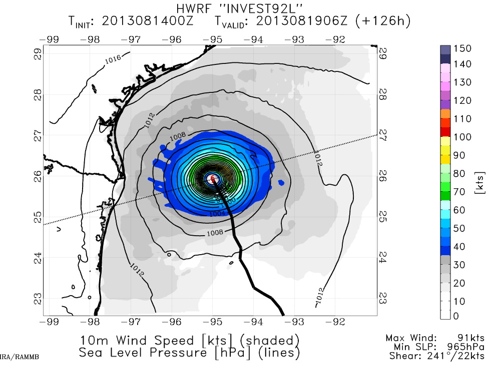
0 likes
The following post is NOT an official forecast and should not be used as such. It is just the opinion of the poster and may or may not be backed by sound meteorological data. It is NOT endorsed by any professional institution including storm2k.org For Official Information please refer to the NHC and NWS products.
-
South Texas Storms
- Professional-Met
- Posts: 4261
- Joined: Thu Jun 24, 2010 12:28 am
- Location: Houston, TX
Re: ATL: INVEST 92L - Models
12z CMC similar to the 0z run. Landfall as a hurricane just south of Brownsville.
http://weather.gc.ca/model_forecast/ani ... 12_....jpg
http://weather.gc.ca/model_forecast/ani ... 12_....jpg
0 likes
Who is online
Users browsing this forum: No registered users and 94 guests