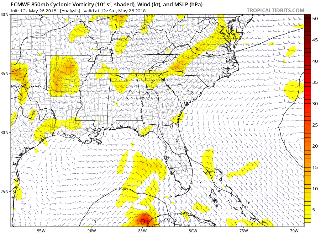
Ivanhater wrote:12z Canadian into Pensacola
Here is a closer look of the 12z Canadian into Pensacola.

Sent from my iPhone using Tapatalk
Moderator: S2k Moderators

Ivanhater wrote:12z Canadian into Pensacola


Ivanhater wrote:12z Gfs is alarming for Pensacola

stormhunter7 wrote:based on the 12z GFS data... if EURO shows the same, i would expect will see Hurricane Watches for Florida Panhandle at the 5pm package. It would be a small area of the coast probably from perdio key to destin pass?


Dean4Storms wrote:Ivanhater wrote:12z Gfs is alarming for Pensacola
Looks more alarming for FWB and Destin.
Aric Dunn wrote:stormhunter7 wrote:based on the 12z GFS data... if EURO shows the same, i would expect will see Hurricane Watches for Florida Panhandle at the 5pm package. It would be a small area of the coast probably from perdio key to destin pass?
Will probably see watches for sure today at some point. they might wait until the 18z models with the new position location though. The reformation to the current location not likely to change the models. but the NHC might wait anyway.
canefan wrote:Due to climatology, I don't think anyone is taking this as seriously as they should. Alberto looks like it is getting its act together in a big way. It is days away from landfall, and lot of warm water ahead of it, and lessening shear. All of that combined with a major holiday and millions on their way to the Gulf Coast.


Code: Select all
NOUS42 KNHC 261628
REPRPD
WEATHER RECONNAISSANCE FLIGHTS
CARCAH, NATIONAL HURRICANE CENTER, MIAMI, FL.
1230 PM EDT SAT 26 MAY 2018
SUBJECT: TROPICAL CYCLONE PLAN OF THE DAY (TCPOD)
         VALID 27/1100Z TO 28/1100Z MAY 2018
         TCPOD NUMBER.....18-005

I.  ATLANTIC REQUIREMENTS
    1. SUBTROPICAL STORM ALBERTO
       FLIGHT ONE - TEAL 72          FLIGHT TWO - TEAL 73
       A. 27/2330Z,28/0530Z          A. 28/1130Z,1730Z
       B. AFXXX 0501A ALBERTO        B. AFXXX 0601A ALBERTO
       C. 27/2030Z                   C. 28/0900Z
       D. 27.4N 86.0W                D. 28.7N 86.6W
       E. 27/2300Z TO 28/0530Z       E. 28/1100Z TO 28/1730Z
       F. SFC TO 10,000 FT           F. SFC TO 10,000 FT

    2. OUTLOOK FOR SUCCEEDING DAY: CONTINUE 6-HRLY FIXES WHILE SYSTEM
       REMAINS A THREAT.

stormhunter7 wrote:Aric Dunn wrote:stormhunter7 wrote:based on the 12z GFS data... if EURO shows the same, i would expect will see Hurricane Watches for Florida Panhandle at the 5pm package. It would be a small area of the coast probably from perdio key to destin pass?
Will probably see watches for sure today at some point. they might wait until the 18z models with the new position location though. The reformation to the current location not likely to change the models. but the NHC might wait anyway.
Yeah i thought about that, but because of the reformation, less time until landfall would warrant an advisory? Better to air on side of caution and not have folks wake up tomorrow in a panic? Went to bed a subtropical storm with tropical storm watch... wake up and now we have Hurricane Watch? lol . I know its a hard call, because of wanting to get the forecast right/correct.


Dean4Storms wrote:Ivanhater wrote:12z Gfs is alarming for Pensacola
Looks more alarming for FWB and Destin.
stormhunter7 wrote:Really curious why no g-IV flight for upper air data over gulf today? Funding issue?
Dean4Storms wrote:canefan wrote:Due to climatology, I don't think anyone is taking this as seriously as they should. Alberto looks like it is getting its act together in a big way. It is days away from landfall, and lot of warm water ahead of it, and lessening shear. All of that combined with a major holiday and millions on their way to the Gulf Coast.
Yep, all day late yesterday and so far today people pouring into the Destin area, even seeing RV's and Trailers left and right coming into town. If I have an RV and see any sort of possible tropical impact I'm headed the other way. I don't understand some people.
DestinHurricane wrote:Dean4Storms wrote:Ivanhater wrote:12z Gfs is alarming for Pensacola
Looks more alarming for FWB and Destin.
Getting worried about my boat on my lift...
Users browsing this forum: No registered users and 32 guests