

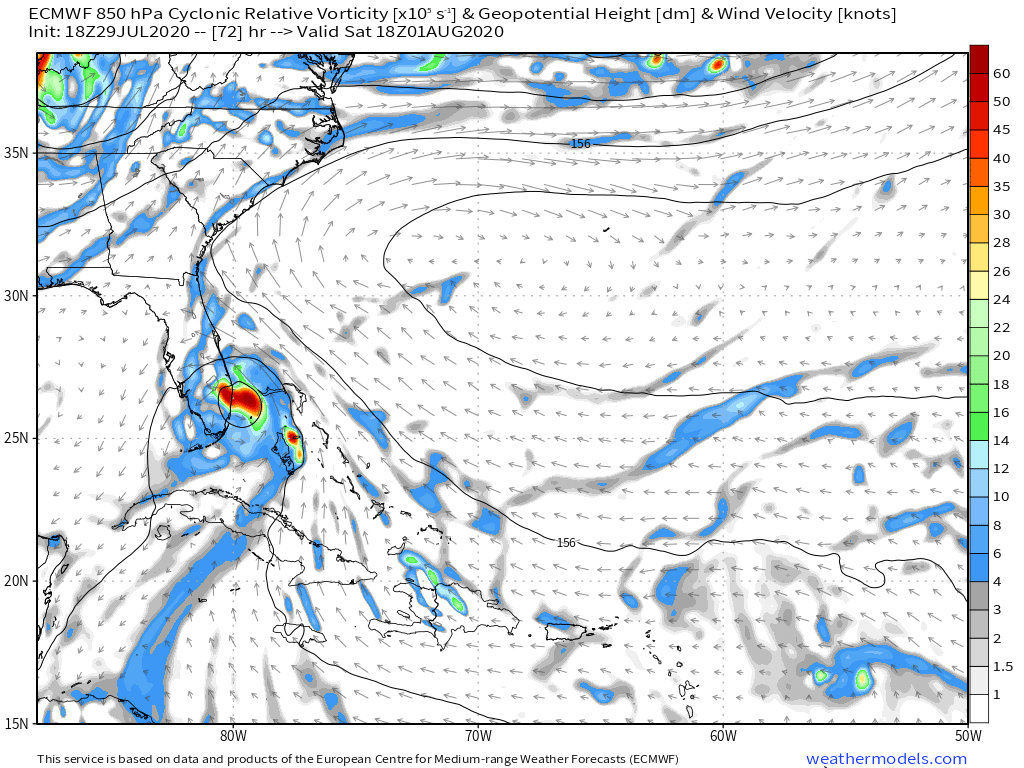
STRiZZY wrote:CM2 wrote:Well this should make you think.
https://imgur.com/2MiHFHc
Can you link me to this?
Just the Navy's website
https://tinyurl.com/y5hoaqdh
Moderator: S2k Moderators
STRiZZY wrote:CM2 wrote:Well this should make you think.
https://imgur.com/2MiHFHc
Can you link me to this?


Hammy wrote:DestinHurricane wrote:Probably won't get an upgrade until it's passed the GAs.
Won't likely be anything left, I'm not buying the models given they showed the same sort of intensification with other weaker storms in this location and it doesn't happen.
SFLcane wrote:HurricaneFrances04 wrote:SUMMARY OF 800 PM AST...0000 UTC...INFORMATION
----------------------------------------------
LOCATION...16.0N 66.3W
ABOUT 140 MI...225 KM S OF PONCE PUERTO RICO
ABOUT 280 MI...450 KM SE OF SANTO DOMINGO DOMINICAN REPUBLIC
MAXIMUM SUSTAINED WINDS...45 MPH...75 KM/H
PRESENT MOVEMENT...WNW OR 285 DEGREES AT 18 MPH...30 KM/H
MINIMUM CENTRAL PRESSURE...1004 MB...29.65 INCHES
Slowing down..
abajan wrote:SFLcane wrote:HurricaneFrances04 wrote:SUMMARY OF 800 PM AST...0000 UTC...INFORMATION
----------------------------------------------
LOCATION...16.0N 66.3W
ABOUT 140 MI...225 KM S OF PONCE PUERTO RICO
ABOUT 280 MI...450 KM SE OF SANTO DOMINGO DOMINICAN REPUBLIC
MAXIMUM SUSTAINED WINDS...45 MPH...75 KM/H
PRESENT MOVEMENT...WNW OR 285 DEGREES AT 18 MPH...30 KM/H
MINIMUM CENTRAL PRESSURE...1004 MB...29.65 INCHES
Slowing down..
Moving a bit more westerly too: currently 285 vs 290 for the last several advisories.
BobHarlem wrote:abajan wrote:SFLcane wrote:
Slowing down..
Moving a bit more westerly too: currently 285 vs 290 for the last several advisories.
It's already a good bit SW of the 18z model initialization points, I'm starting to get Irma vibes and wondering if the UKMET has the right idea here.


AnnularCane wrote:Hispaniola isn't necessarily a death sentence for storms.

DestinHurricane wrote:BobHarlem wrote:abajan wrote:Moving a bit more westerly too: currently 285 vs 290 for the last several advisories.
It's already a good bit SW of the 18z model initialization points, I'm starting to get Irma vibes and wondering if the UKMET has the right idea here.
It can't get there alive because Hispaniola. Irma was coming in from a better angle. It's either going to skirt or stay offshore of S Florida or it's going to die (because Hispaniola).
True, its not a default that there is major disruption, every storm is different and even deep systems pass over with minimal disruption...also, storms do their best to avoid landAnnularCane wrote:Hispaniola isn't necessarily a death sentence for storms.

STRiZZY wrote:5PM: LOCATION...16.4N 65.6W
8PM: LOCATION...16.0N 66.3W
.4 degrees south... so like 7 miles?
SFLcane wrote:Lol Is thing thing poofing? Convection has decreased dramatically. I just don’t know about that upgrade by tonight.

SFLcane wrote:Lol Is thing thing poofing? Convection has degreased dramatically. I just don’t know about that upgrade by tonight.
Blown Away wrote:STRiZZY wrote:5PM: LOCATION...16.4N 65.6W
8PM: LOCATION...16.0N 66.3W
.4 degrees south... so like 7 miles?
@27 miles
abajan wrote:CM2 wrote:CaribJam wrote:Can a pro explain this extract from the discussion for me, please:
More recently, a band has
developed over the southwestern portion of the broad circulation
and it appears that the system may be closer to acquiring a
well-defined center
Are they hinting/suggesting that the "centre" may be forming to the southwest? And what influence will this have on the short-term movement of the system, especially for us in the Central Caribbean?
Thanks
If it's further south, then that means the general path of the storm will also be further south, though because it's a big storm it isn't gonna rapidly intensify anytime soon. We don't really know where the storm is going because the models are initializing it about 70-80 miles north of where it probably actually is. Though worse case you end up with some sloppy tropical storm weather. I don't think there is any doubt the greater Antilles are not gonna receive anything more than a TS at worse. The main concern for a hurricane in any capacity is mainly the Bahamas and the US.
Yeah, and a bunch of torrential rainfall. Let's not forget that little detail, shall we.

SFLcane wrote:Lol Is thing thing poofing? Convection has degreased dramatically. I just don’t know about that upgrade by tonight.
Users browsing this forum: No registered users and 49 guests


