

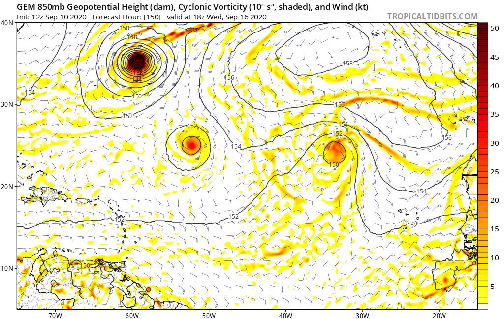
GCANE wrote:This is the largest moisture convergence I have seen all year.
Pulling everything out of the ITCZ all the way to South America.
Even cutting off Rene and Paulette.
Its the whole monsoon trough rolled up into a powder keg.
https://i.imgur.com/edmGgud.png
https://i.imgur.com/os0aKrT.png
Yes. I'm glad someone is talking abut the ITCZ. I've been dying to talk about the ITCZ. It's almost like there's this divergent flow of moisture from 8N to 20 that gets stuck as far as 25N feeding moisture into these East Atlantic Hurricanes. It almost looks like a split flow. Paulette is pulling tropical moisture from the ENE 18-25N, Renee is pulling from the ENE and ITCZ to the SSE, and our African Wave is pulling from ITCZ at 8N to 12N. You can see it on the GFS. You can also see the ITCZ emerge off Central and South America in 3-4 days as it moisture is pulled into the disturbance near Florida. The GFS runs over the last 48 hours keeps showing a greater amount of convergence in the West Caribbean to the Antilles. Then you have this ridge in the Western Atlantic building towards the southwest that will likely trap these low riding storms.
https://tropicaltidbits.com/analysis/mo ... 1012&fh=42


