Trough of low pressure in Western Caribbean (Is Invest 95L)

This is the general tropical discussion area. Anyone can take their shot at predicting a storms path.

Moderator: S2k Moderators

Forum rules

The posts in this forum are NOT official forecasts and should not be used as such. They are just the opinion of the poster and may or may not be backed by sound meteorological data. They are NOT endorsed by any professional institution or STORM2K. For official information, please refer to products from the National Hurricane Center and National Weather Service.

Help Support Storm2K
Message
Author
AutoPenalti
Category 5
Category 5
Posts: 4030
Age: 29
Joined: Mon Aug 17, 2015 4:16 pm
Location: Ft. Lauderdale, Florida

Re: Possible SW Caribbean Development

#301 Postby AutoPenalti » Fri Oct 16, 2020 10:51 am

SFLcane wrote:
AutoPenalti wrote:
SFLcane wrote:Would like to here wxman57’s recent thoughts on this system.

Isn't he in Disney?


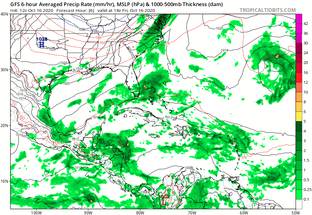
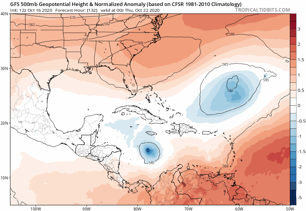
Lol I think so. Either way the gfs is rolling. Will it continue shifting westward?

We most likely will continue seeing shifts here and there until about Wednesday when we start to zero in on something.
0 likes   
The posts in this forum are NOT official forecasts and should not be used as such. They are just the opinion of the poster and may or may not be backed by sound meteorological data. They are NOT endorsed by any professional institution or STORM2K. For official information, please refer to products from the NHC and NWS.


Model Runs Cheat Sheet:
GFS (5:30 AM/PM, 11:30 AM/PM)
HWRF, GFDL, UKMET, NAVGEM (6:30-8:00 AM/PM, 12:30-2:00 AM/PM)
ECMWF (1:45 AM/PM)

TCVN
is a weighted averaged

User avatar
aspen
Category 5
Category 5
Posts: 8818
Joined: Sat Oct 12, 2019 7:10 pm
Location: Connecticut, USA

Re: Possible SW Caribbean Development

#302 Postby aspen » Fri Oct 16, 2020 10:55 am

12z ICON has zero development but gets Epsilon to a high end Cat1 or low end Cat 2.
2 likes   
Irene '11 Sandy '12 Hermine '16 5/15/2018 Derecho Fay '20 Isaias '20 Elsa '21 Henri '21 Ida '21

I am only a meteorology enthusiast who knows a decent amount about tropical cyclones. Look to the professional mets, the NHC, or your local weather office for the best information.

LarryWx
S2K Supporter
S2K Supporter
Posts: 6305
Joined: Sun Sep 07, 2003 2:04 pm
Location: GA

Re: Possible SW Caribbean Development

#303 Postby LarryWx » Fri Oct 16, 2020 11:12 am

As of day 7, the 12Z GFS is the strongest of at least the last 4 runs.
0 likes   
Personal Forecast Disclaimer:
The posts in this forum are NOT official forecasts and should not be used as such. They are just the opinion of the poster and may or may not be backed by sound meteorological data. They are NOT endorsed by any professional institution or storm2k.org. For official information, please refer to the NHC and NWS products.

User avatar
SFLcane
S2K Supporter
S2K Supporter
Posts: 10163
Age: 47
Joined: Sat Jun 05, 2010 1:44 pm
Location: Lake Worth Florida

Re: Possible SW Caribbean Development

#304 Postby SFLcane » Fri Oct 16, 2020 11:13 am

LarryWx wrote:As of day 7, the 12Z GFS is the strongest of at least the last 4 runs.


Yes and also a bit further south.
0 likes   

LarryWx
S2K Supporter
S2K Supporter
Posts: 6305
Joined: Sun Sep 07, 2003 2:04 pm
Location: GA

Re: Possible SW Caribbean Development

#305 Postby LarryWx » Fri Oct 16, 2020 11:16 am

SFLcane wrote:
LarryWx wrote:As of day 7, the 12Z GFS is the strongest of at least the last 4 runs.


Yes and also a bit further south.


I wonder if this run is going to go into Central America.
0 likes   
Personal Forecast Disclaimer:
The posts in this forum are NOT official forecasts and should not be used as such. They are just the opinion of the poster and may or may not be backed by sound meteorological data. They are NOT endorsed by any professional institution or storm2k.org. For official information, please refer to the NHC and NWS products.

User avatar
Spacecoast
Category 2
Category 2
Posts: 758
Joined: Thu Aug 31, 2017 2:03 pm

Re: Possible SW Caribbean Development

#306 Postby Spacecoast » Fri Oct 16, 2020 11:16 am

12z ECMCF plots:
Image
Image
Image
0 likes   

User avatar
Hurricaneman
Category 5
Category 5
Posts: 7351
Age: 45
Joined: Tue Aug 31, 2004 3:24 pm
Location: central florida

Re: Possible SW Caribbean Development

#307 Postby Hurricaneman » Fri Oct 16, 2020 11:17 am

LarryWx wrote:
SFLcane wrote:
LarryWx wrote:As of day 7, the 12Z GFS is the strongest of at least the last 4 runs.


Yes and also a bit further south.


I wonder if this run is going to go into Central America.


Looks like an 1999 Irene track looking at the 500
3 likes   

User avatar
SFLcane
S2K Supporter
S2K Supporter
Posts: 10163
Age: 47
Joined: Sat Jun 05, 2010 1:44 pm
Location: Lake Worth Florida

Re: Possible SW Caribbean Development

#308 Postby SFLcane » Fri Oct 16, 2020 11:17 am

LarryWx wrote:
SFLcane wrote:
LarryWx wrote:As of day 7, the 12Z GFS is the strongest of at least the last 4 runs.


Yes and also a bit further south.


I wonder if this run is going to go into Central America.


Na I highly doupt it.
0 likes   

User avatar
aspen
Category 5
Category 5
Posts: 8818
Joined: Sat Oct 12, 2019 7:10 pm
Location: Connecticut, USA

Re: Possible SW Caribbean Development

#309 Postby aspen » Fri Oct 16, 2020 11:19 am

12z GFS has much quicker genesis. The vorticity signature midday October 21st seems good enough for a TD upgrade.
0 likes   
Irene '11 Sandy '12 Hermine '16 5/15/2018 Derecho Fay '20 Isaias '20 Elsa '21 Henri '21 Ida '21

I am only a meteorology enthusiast who knows a decent amount about tropical cyclones. Look to the professional mets, the NHC, or your local weather office for the best information.

User avatar
toad strangler
S2K Supporter
S2K Supporter
Posts: 4543
Joined: Sun Jul 28, 2013 3:09 pm
Location: Earth
Contact:

Re: Possible SW Caribbean Development

#310 Postby toad strangler » Fri Oct 16, 2020 11:21 am

aspen wrote:12z GFS has much quicker genesis. The vorticity signature midday October 21st seems good enough for a TD upgrade.


And for the non mathematicians out there that's within 5 days
0 likes   

User avatar
chris_fit
Category 5
Category 5
Posts: 3222
Age: 42
Joined: Wed Sep 10, 2003 11:58 pm
Location: Tampa Bay Area, FL

Re: Possible SW Caribbean Development

#311 Postby chris_fit » Fri Oct 16, 2020 11:23 am

Further E than the 06Z in the long rang at 200+ hrs - Should be safely away from FL
0 likes   

User avatar
SFLcane
S2K Supporter
S2K Supporter
Posts: 10163
Age: 47
Joined: Sat Jun 05, 2010 1:44 pm
Location: Lake Worth Florida

Re: Possible SW Caribbean Development

#312 Postby SFLcane » Fri Oct 16, 2020 11:24 am

It’s up and out.
0 likes   

User avatar
aspen
Category 5
Category 5
Posts: 8818
Joined: Sat Oct 12, 2019 7:10 pm
Location: Connecticut, USA

Re: Possible SW Caribbean Development

#313 Postby aspen » Fri Oct 16, 2020 11:25 am

949 mbar into Cuba at 210 hours. It goes from a TS on the 22nd to a Cat 4 on the 25th.
0 likes   
Irene '11 Sandy '12 Hermine '16 5/15/2018 Derecho Fay '20 Isaias '20 Elsa '21 Henri '21 Ida '21

I am only a meteorology enthusiast who knows a decent amount about tropical cyclones. Look to the professional mets, the NHC, or your local weather office for the best information.

User avatar
toad strangler
S2K Supporter
S2K Supporter
Posts: 4543
Joined: Sun Jul 28, 2013 3:09 pm
Location: Earth
Contact:

Re: Possible SW Caribbean Development

#314 Postby toad strangler » Fri Oct 16, 2020 11:27 am

aspen wrote:949 mbar into Cuba at 210 hours. It goes from a TS on the 22nd to a Cat 4 on the 25th.


That seems to be the bullseye but we know what it means for a bullseye over a week out .... it won't be the bullseye.
0 likes   

User avatar
SFLcane
S2K Supporter
S2K Supporter
Posts: 10163
Age: 47
Joined: Sat Jun 05, 2010 1:44 pm
Location: Lake Worth Florida

Re: Possible SW Caribbean Development

#315 Postby SFLcane » Fri Oct 16, 2020 11:28 am

Image
0 likes   

User avatar
gatorcane
S2K Supporter
S2K Supporter
Posts: 23691
Age: 47
Joined: Sun Mar 13, 2005 3:54 pm
Location: Boca Raton, FL

Re: Possible SW Caribbean Development

#316 Postby gatorcane » Fri Oct 16, 2020 11:30 am

The GFS shifts east. Not as far as the 00Z but more east than the 06Z. Saved loop.

Image
0 likes   

AutoPenalti
Category 5
Category 5
Posts: 4030
Age: 29
Joined: Mon Aug 17, 2015 4:16 pm
Location: Ft. Lauderdale, Florida

Re: Possible SW Caribbean Development

#317 Postby AutoPenalti » Fri Oct 16, 2020 11:34 am

Not sure how much I buy that quick ejection to the NE, trough would need to bring fall temperatures to Florida for that kind of swoop.
4 likes   
The posts in this forum are NOT official forecasts and should not be used as such. They are just the opinion of the poster and may or may not be backed by sound meteorological data. They are NOT endorsed by any professional institution or STORM2K. For official information, please refer to products from the NHC and NWS.


Model Runs Cheat Sheet:
GFS (5:30 AM/PM, 11:30 AM/PM)
HWRF, GFDL, UKMET, NAVGEM (6:30-8:00 AM/PM, 12:30-2:00 AM/PM)
ECMWF (1:45 AM/PM)

TCVN
is a weighted averaged

User avatar
gatorcane
S2K Supporter
S2K Supporter
Posts: 23691
Age: 47
Joined: Sun Mar 13, 2005 3:54 pm
Location: Boca Raton, FL

Re: Possible SW Caribbean Development

#318 Postby gatorcane » Fri Oct 16, 2020 11:42 am

AutoPenalti wrote:Not sure how much I buy that quick ejection to the NE, trough would need to bring fall temperatures to Florida for that kind of swoop.


It is more about how the other area NHC is watching in the SW Atlantic erodes the Bermuda High as can be seen here:

Image
0 likes   

User avatar
blp
Category 5
Category 5
Posts: 2840
Age: 46
Joined: Thu Sep 09, 2004 7:51 pm
Location: Miami, FL
Contact:

Re: Possible SW Caribbean Development

#319 Postby blp » Fri Oct 16, 2020 11:44 am

12 CMC stronger and ejects this further East.
0 likes   
The following post is NOT an official forecast and should not be used as such. It is just the opinion of the poster and may or may not be backed by sound meteorological data. It is NOT endorsed by any professional institution including storm2k.org For Official Information please refer to the NHC and NWS products.

User avatar
SFLcane
S2K Supporter
S2K Supporter
Posts: 10163
Age: 47
Joined: Sat Jun 05, 2010 1:44 pm
Location: Lake Worth Florida

Re: Possible SW Caribbean Development

#320 Postby SFLcane » Fri Oct 16, 2020 11:45 am

Even the CMC is wide right.
0 likes   


Return to “Talkin' Tropics”

Who is online

Users browsing this forum: Hypercane_Kyle, Ian2401 and 51 guests