2021 Global Model Runs Discussion (Out thru day 16)

This is the general tropical discussion area. Anyone can take their shot at predicting a storms path.

Moderator: S2k Moderators

Forum rules

The posts in this forum are NOT official forecasts and should not be used as such. They are just the opinion of the poster and may or may not be backed by sound meteorological data. They are NOT endorsed by any professional institution or STORM2K. For official information, please refer to products from the National Hurricane Center and National Weather Service.

Help Support Storm2K
Message
Author
Shell Mound
Category 5
Category 5
Posts: 2434
Age: 32
Joined: Thu Sep 07, 2017 3:39 pm
Location: St. Petersburg, FL → Scandinavia

Re: 2021 Global Model Runs Discussion (Out thru day 16)

#461 Postby Shell Mound » Sun Aug 01, 2021 12:08 pm

aspen wrote:Future Fred is far weaker but still trackable on the 12z GFS. Either the 18z will drop it entirely (for a time), or it’ll be stronger.

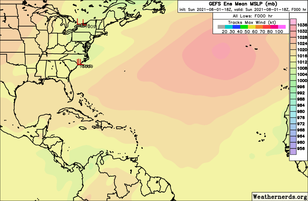
Recall that all previous 00Z/12Z suites were not showing any development prior to today. Today’s 12Z run is by far the strongest of all 00Z/12Z runs thus far, and also the first to show a well-defined, albeit weak, TC. So the GFS and ECMWF are clearly converging on a possible TC in the MDR about a week from today, and both models, including the EC’s ensemble suite, are showing similar locations and timeframes in regard to TCG. Given current trends, the upcoming 06Z/18Z suites are likely to trend toward an even stronger TC.
0 likes   
CVW / MiamiensisWx / Shell Mound
The posts in this forum are NOT official forecasts and should not be used as such. They are just the opinion of the poster and may or may not be backed by sound meteorological data. They are NOT endorsed by any professional institution or STORM2K. For official information, please refer to products from the NHC and NWS.

User avatar
aspen
Category 5
Category 5
Posts: 8818
Joined: Sat Oct 12, 2019 7:10 pm
Location: Connecticut, USA

Re: 2021 Global Model Runs Discussion (Out thru day 16)

#462 Postby aspen » Sun Aug 01, 2021 1:33 pm

12z Euro has splashdown on early Friday and a strong wave with a circulation by 144hr.
0 likes   
Irene '11 Sandy '12 Hermine '16 5/15/2018 Derecho Fay '20 Isaias '20 Elsa '21 Henri '21 Ida '21

I am only a meteorology enthusiast who knows a decent amount about tropical cyclones. Look to the professional mets, the NHC, or your local weather office for the best information.

User avatar
AtlanticWind
S2K Supporter
S2K Supporter
Posts: 1888
Age: 66
Joined: Sun Aug 08, 2004 9:57 pm
Location: Plantation,Fla

Re: 2021 Global Model Runs Discussion (Out thru day 16)

#463 Postby AtlanticWind » Sun Aug 01, 2021 1:55 pm

Models starting to show development right when we would expect things to pick up.
0 likes   

User avatar
cycloneye
Admin
Admin
Posts: 145306
Age: 68
Joined: Thu Oct 10, 2002 10:54 am
Location: San Juan, Puerto Rico

Re: 2021 Global Model Runs Discussion (Out thru day 16)

#464 Postby cycloneye » Sun Aug 01, 2021 1:59 pm

12z ECMWF run from the 6th.

Image
0 likes   
Visit the Caribbean-Central America Weather Thread where you can find at first post web cams,radars
and observations from Caribbean basin members Click Here

User avatar
gatorcane
S2K Supporter
S2K Supporter
Posts: 23691
Age: 47
Joined: Sun Mar 13, 2005 3:54 pm
Location: Boca Raton, FL

Re: 2021 Global Model Runs Discussion (Out thru day 16)

#465 Postby gatorcane » Sun Aug 01, 2021 2:50 pm

3 likes   

User avatar
aspen
Category 5
Category 5
Posts: 8818
Joined: Sat Oct 12, 2019 7:10 pm
Location: Connecticut, USA

Re: 2021 Global Model Runs Discussion (Out thru day 16)

#466 Postby aspen » Sun Aug 01, 2021 2:55 pm

gatorcane wrote:12Z Euro ensembles with quite a number of members showing a low moving west towards Lesser Antilles similar to that Euro op run above. Seems we are on our way to getting a mention by NHC for this wave once it emerges into the Eastern Atlantic later this week.

Link to 12Z Euro ensemble run, wave emerges at 120 hours:
https://www.weathernerds.org/models/ecens.html?&inittype=zoom&initfield=MSLP_Surface&initcycle=determine&initfhour=006&initimdimx=1050&initimdimy=685&initrange=50.000000000000:258.000000000000:0:350.000000000000&initcx1=0&initcy1=0&initcx2=0&initcy2=0&initcross=False&initsound=False&initsoundx=1&initsoundy=1&initloop=True&initoverlay=False&initlstart=000&initlend=240&initlint=6&initol1=MSLP_Surface&initol2=null&initol3=null&initol4=null&initol5=null&initcities=Off&inithgwys=Off&inittracks=Off&initlows=On&initlatlon=Off

This Euro ensemble map is also pretty active in the MDR: https://weather.us/cyclone-tracks/euro/ ... 2-240.html

Notice how in the WeatherNerds ensemble run and the 12z operation run, the Euro seemingly tries to develop one of the waves in the eastern MDR right by the Cabo Verde islands, but it doesn’t become much.
Last edited by aspen on Sun Aug 01, 2021 2:56 pm, edited 1 time in total.
0 likes   
Irene '11 Sandy '12 Hermine '16 5/15/2018 Derecho Fay '20 Isaias '20 Elsa '21 Henri '21 Ida '21

I am only a meteorology enthusiast who knows a decent amount about tropical cyclones. Look to the professional mets, the NHC, or your local weather office for the best information.

User avatar
cycloneye
Admin
Admin
Posts: 145306
Age: 68
Joined: Thu Oct 10, 2002 10:54 am
Location: San Juan, Puerto Rico

Re: 2021 Global Model Runs Discussion (Out thru day 16)

#467 Postby cycloneye » Sun Aug 01, 2021 2:55 pm

ECMWF Ensembles are bullish.

Image
6 likes   
Visit the Caribbean-Central America Weather Thread where you can find at first post web cams,radars
and observations from Caribbean basin members Click Here

User avatar
SFLcane
S2K Supporter
S2K Supporter
Posts: 10163
Age: 47
Joined: Sat Jun 05, 2010 1:44 pm
Location: Lake Worth Florida

Re: 2021 Global Model Runs Discussion (Out thru day 16)

#468 Postby SFLcane » Sun Aug 01, 2021 3:55 pm

cycloneye wrote:ECMWF Ensembles are bullish.

https://i.imgur.com/eg5kQ4K.png


Quite active and further south.
0 likes   

User avatar
CyclonicFury
Category 5
Category 5
Posts: 2025
Age: 26
Joined: Sun Jul 02, 2017 12:32 pm
Location: NC
Contact:

Re: 2021 Global Model Runs Discussion (Out thru day 16)

#469 Postby CyclonicFury » Sun Aug 01, 2021 3:58 pm

We'll have to see if the signal holds when the wave emerges into the Atlantic. We've seen models develop inland waves into powerful hurricanes only for them to drop the signal completely after splashdown many times the last few years.
10 likes   
NCSU B.S. in Meteorology Class of 2021. Tropical weather blogger at http://www.cyclonicfury.com. My forecasts and thoughts are NOT official, for official forecasts please consult the National Hurricane Center.

User avatar
AtlanticWind
S2K Supporter
S2K Supporter
Posts: 1888
Age: 66
Joined: Sun Aug 08, 2004 9:57 pm
Location: Plantation,Fla

Re: 2021 Global Model Runs Discussion (Out thru day 16)

#470 Postby AtlanticWind » Sun Aug 01, 2021 4:11 pm

CyclonicFury wrote:We'll have to see if the signal holds when the wave emerges into the Atlantic. We've seen models develop inland waves into powerful hurricanes only for them to drop the signal completely after splashdown many times the last few years.

True, but it is noteworthy that the models are showing conditions becoming more
conducive in the long range as expected going into the peak season.
1 likes   

User avatar
aspen
Category 5
Category 5
Posts: 8818
Joined: Sat Oct 12, 2019 7:10 pm
Location: Connecticut, USA

Re: 2021 Global Model Runs Discussion (Out thru day 16)

#471 Postby aspen » Sun Aug 01, 2021 5:28 pm

18z GFS looks like it was gonna develop this…but then it fell apart. Splashdown looks to be earlier than I originally thought, on Thursday night instead of early Friday. Maybe that’s soon enough for the NHC to give this a lemon within the next two days.
1 likes   
Irene '11 Sandy '12 Hermine '16 5/15/2018 Derecho Fay '20 Isaias '20 Elsa '21 Henri '21 Ida '21

I am only a meteorology enthusiast who knows a decent amount about tropical cyclones. Look to the professional mets, the NHC, or your local weather office for the best information.

User avatar
cycloneye
Admin
Admin
Posts: 145306
Age: 68
Joined: Thu Oct 10, 2002 10:54 am
Location: San Juan, Puerto Rico

Re: 2021 Global Model Runs Discussion (Out thru day 16)

#472 Postby cycloneye » Sun Aug 01, 2021 5:54 pm

Wave reaches the Lesser Antilles islands with a good deal of rain.

Image

Image
0 likes   
Visit the Caribbean-Central America Weather Thread where you can find at first post web cams,radars
and observations from Caribbean basin members Click Here

User avatar
Cpv17
Category 5
Category 5
Posts: 4978
Joined: Wed Dec 07, 2016 2:24 pm
Location: Wharton/El Campo, TX

Re: 2021 Global Model Runs Discussion (Out thru day 16)

#473 Postby Cpv17 » Sun Aug 01, 2021 6:00 pm

toad strangler wrote:
Cpv17 wrote:
tolakram wrote:
Did you miss the bolded part? :)


Meh. Is 8 storms in two months during peak season really that much? Seems about average.


Most of August is not peak season.


I’d say after August 20th is the beginning of peak season. For me here in southeast TX the season ends after about the third week in September for the most part.
0 likes   

User avatar
wxman57
Moderator-Pro Met
Moderator-Pro Met
Posts: 22978
Age: 67
Joined: Sat Jun 21, 2003 8:06 pm
Location: Houston, TX (southwest)

Re: 2021 Global Model Runs Discussion (Out thru day 16)

#474 Postby wxman57 » Sun Aug 01, 2021 6:08 pm

Conditions in the MDR may still be too hostile for much to develop there next week (7-10 day time frame). Let the quiet continue!
2 likes   

User avatar
cycloneye
Admin
Admin
Posts: 145306
Age: 68
Joined: Thu Oct 10, 2002 10:54 am
Location: San Juan, Puerto Rico

Re: 2021 Global Model Runs Discussion (Out thru day 16)

#475 Postby cycloneye » Sun Aug 01, 2021 6:39 pm

May not develop but a rainy period ensures for the NE Eastern Caribbean islands.

Image
1 likes   
Visit the Caribbean-Central America Weather Thread where you can find at first post web cams,radars
and observations from Caribbean basin members Click Here

User avatar
SFLcane
S2K Supporter
S2K Supporter
Posts: 10163
Age: 47
Joined: Sat Jun 05, 2010 1:44 pm
Location: Lake Worth Florida

Re: 2021 Global Model Runs Discussion (Out thru day 16)

#476 Postby SFLcane » Sun Aug 01, 2021 6:48 pm

Noticing an uptick on the 18z GEFS ensembles.

If it has a *consistent* strong signal that's usually a good indicator of genesis.

Image
Last edited by SFLcane on Sun Aug 01, 2021 6:52 pm, edited 1 time in total.
5 likes   

User avatar
aspen
Category 5
Category 5
Posts: 8818
Joined: Sat Oct 12, 2019 7:10 pm
Location: Connecticut, USA

Re: 2021 Global Model Runs Discussion (Out thru day 16)

#477 Postby aspen » Sun Aug 01, 2021 6:50 pm

cycloneye wrote:May not develop but a rainy period ensures for the NE Eastern Caribbean islands.

https://i.imgur.com/BZqKu3W.gif

EPac bias in full effect. Highly unlikely we see a hurricane rapidly form and intensify that close to the coast in a -ENSO year where every other close-to-Mexico model storm was delayed for days until it got to 110-120W.

SFLcane wrote:Noticing an uptick on the 18z GEFS ensembles.

If it has a *consistent* strong signal that's usually a good indicator of genesis.

https://i.postimg.cc/xd7tH5sz/E326-B2-ED-D724-4209-ACB0-F2-B44-AEE324-E.gif

Where can I find the GEFS/Euro ensemble models on WeatherNerds?
0 likes   
Irene '11 Sandy '12 Hermine '16 5/15/2018 Derecho Fay '20 Isaias '20 Elsa '21 Henri '21 Ida '21

I am only a meteorology enthusiast who knows a decent amount about tropical cyclones. Look to the professional mets, the NHC, or your local weather office for the best information.

User avatar
SFLcane
S2K Supporter
S2K Supporter
Posts: 10163
Age: 47
Joined: Sat Jun 05, 2010 1:44 pm
Location: Lake Worth Florida

Re: 2021 Global Model Runs Discussion (Out thru day 16)

#478 Postby SFLcane » Sun Aug 01, 2021 7:00 pm

aspen wrote:
cycloneye wrote:May not develop but a rainy period ensures for the NE Eastern Caribbean islands.

https://i.imgur.com/BZqKu3W.gif

EPac bias in full effect. Highly unlikely we see a hurricane rapidly form and intensify that close to the coast in a -ENSO year where every other close-to-Mexico model storm was delayed for days until it got to 110-120W.

SFLcane wrote:Noticing an uptick on the 18z GEFS ensembles.

If it has a *consistent* strong signal that's usually a good indicator of genesis.

https://i.postimg.cc/xd7tH5sz/E326-B2-ED-D724-4209-ACB0-F2-B44-AEE324-E.gif

Where can I find the GEFS/Euro ensemble models on WeatherNerds?


https://www.weathernerds.org/models/gef ... latlon=Off

https://www.weathernerds.org/models/ece ... latlon=Off
0 likes   

User avatar
captainbarbossa19
Professional-Met
Professional-Met
Posts: 1092
Age: 27
Joined: Wed Aug 21, 2019 11:09 pm
Location: Beaumont, TX

Re: 2021 Global Model Runs Discussion (Out thru day 16)

#479 Postby captainbarbossa19 » Sun Aug 01, 2021 10:53 pm

CyclonicFury wrote:We'll have to see if the signal holds when the wave emerges into the Atlantic. We've seen models develop inland waves into powerful hurricanes only for them to drop the signal completely after splashdown many times the last few years.


We have also seen models develop storms, drop them, and then bring them back. We have also seen when there is something to track, the models keep systems too weak. I am still thinking right around August 20th, conditions will become very favorable for storms including the first major hurricane of the season.
1 likes   

User avatar
AtlanticWind
S2K Supporter
S2K Supporter
Posts: 1888
Age: 66
Joined: Sun Aug 08, 2004 9:57 pm
Location: Plantation,Fla

Re: 2021 Global Model Runs Discussion (Out thru day 16)

#480 Postby AtlanticWind » Mon Aug 02, 2021 1:29 am

https://www.tropicaltidbits.com/analysi ... 200&fh=120

Euro devoleps wave now off Africa I believe
1 likes   


Return to “Talkin' Tropics”

Who is online

Users browsing this forum: cycloneye, IamKelleyP, Steve H. and 46 guests